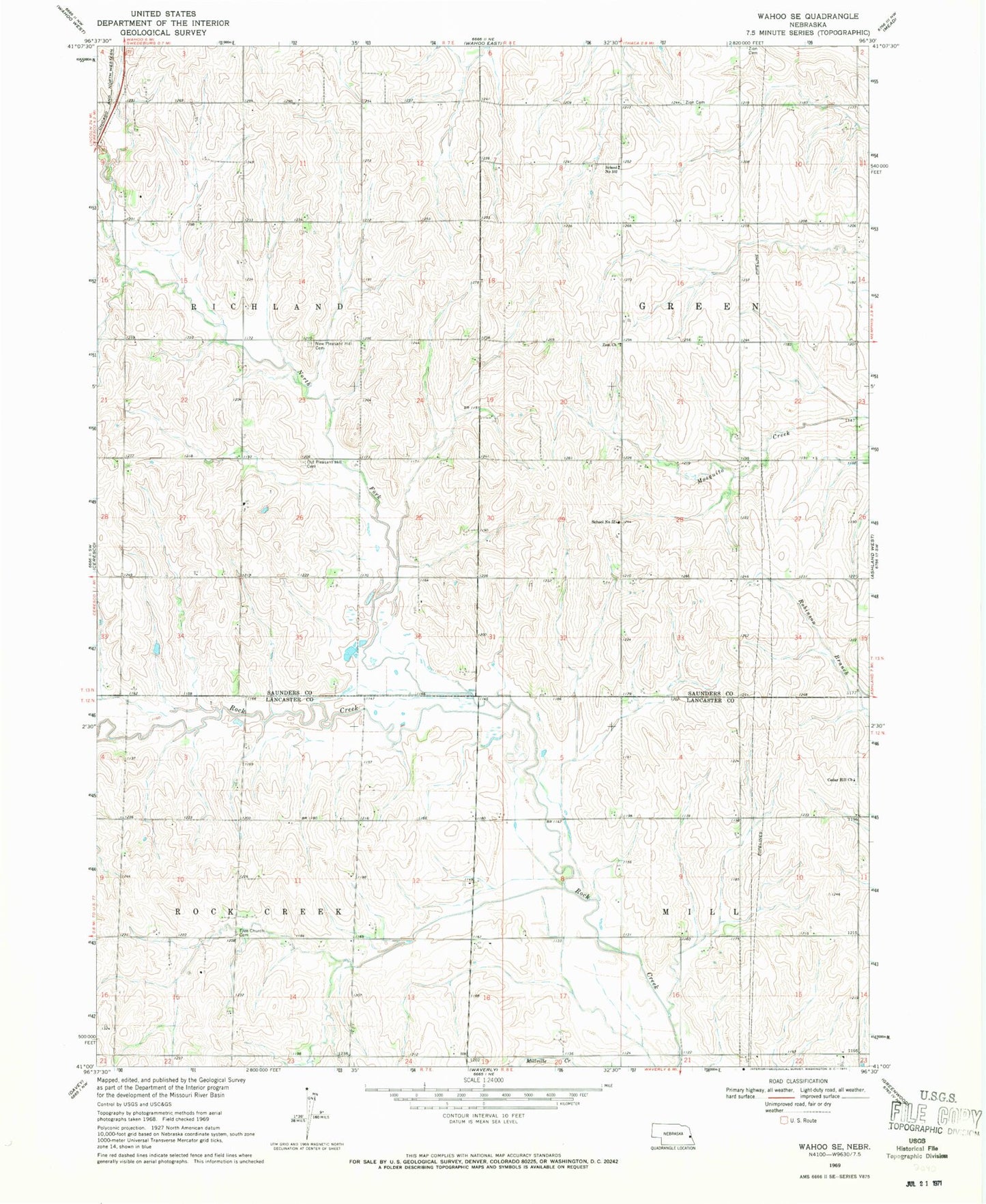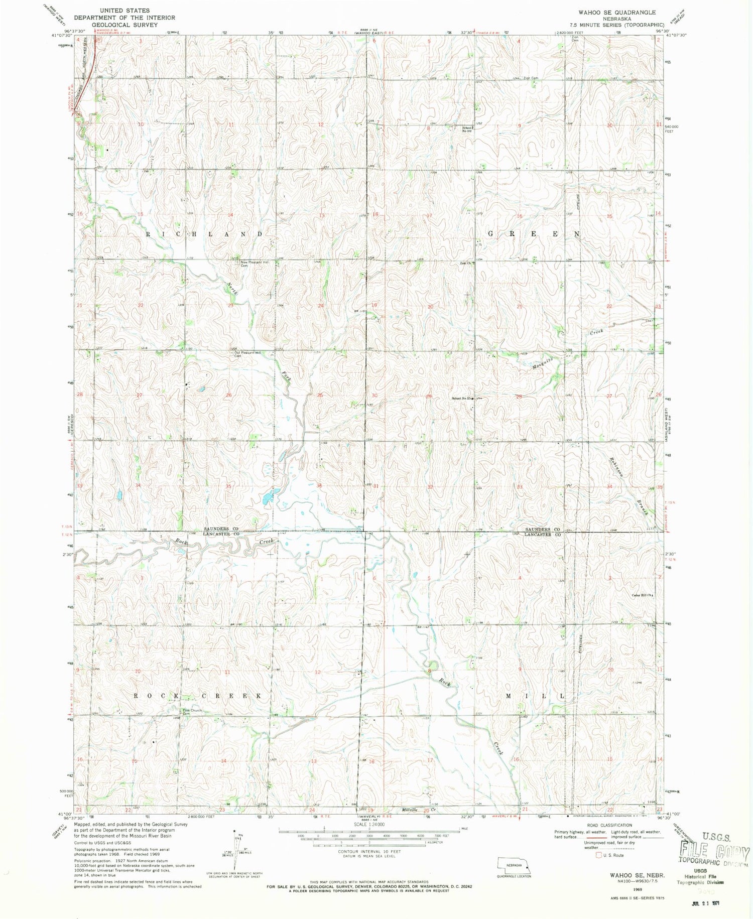
MyTopo
Classic USGS Wahoo SE Nebraska 7.5'x7.5' Topo Map
Couldn't load pickup availability
Historical USGS topographic quad map of Wahoo SE in the state of Nebraska. Map scale may vary for some years, but is generally around 1:24,000. Print size is approximately 24" x 27"
This quadrangle is in the following counties: Lancaster, Saunders.
The map contains contour lines, roads, rivers, towns, and lakes. Printed on high-quality waterproof paper with UV fade-resistant inks, and shipped rolled.
Contains the following named places: Bornmann Field, Cedar Hill Church, Free Church Cemetery, Jack Sinn Memorial State Wildlife Management Area, Martin Dam, Martin Reservoir, Mill Election Precinct, North Fork Rock Creek, Old Pleasant Hill Cemetery, Pioneer State Recreation Area, Pleasant Hill Cemetery, Rock Creek Election Precinct, School Number 102, School Number 52, Township of Green, Township of Richland, Zion Church, Zion Evangelical Cemetery, Zion Lutheran Cemetery, ZIP Code: 68033