MyTopo
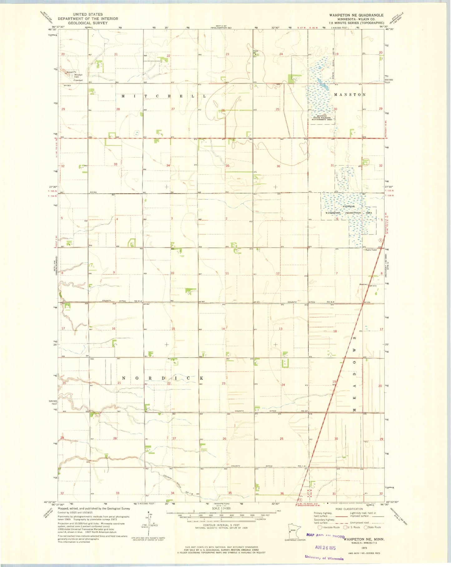
Classic USGS Wahpeton NE Minnesota 7.5'x7.5' Topo Map
Couldn't load pickup availability
Historical USGS topographic quad map of Wahpeton NE in the state of Minnesota. Map scale may vary for some years, but is generally around 1:24,000. Print size is approximately 24" x 27"
This quadrangle is in the following counties: Wilkin.
The map contains contour lines, roads, rivers, towns, and lakes. Printed on high-quality waterproof paper with UV fade-resistant inks, and shipped rolled.
Contains the following named places: Christ Church, Christ Lutheran Cemetery, County Ditch Number One-a, County Ditch Number One-b, County Ditch Number Six-a, County Ditch Number Twentythree, Manston State Wildlife Management Area, Mitchell Cemetery, State Ditch Number Fifteen, Township of Nordick, Wilkin County Waterfowl Production Area, ZIP Code: 56553