MyTopo
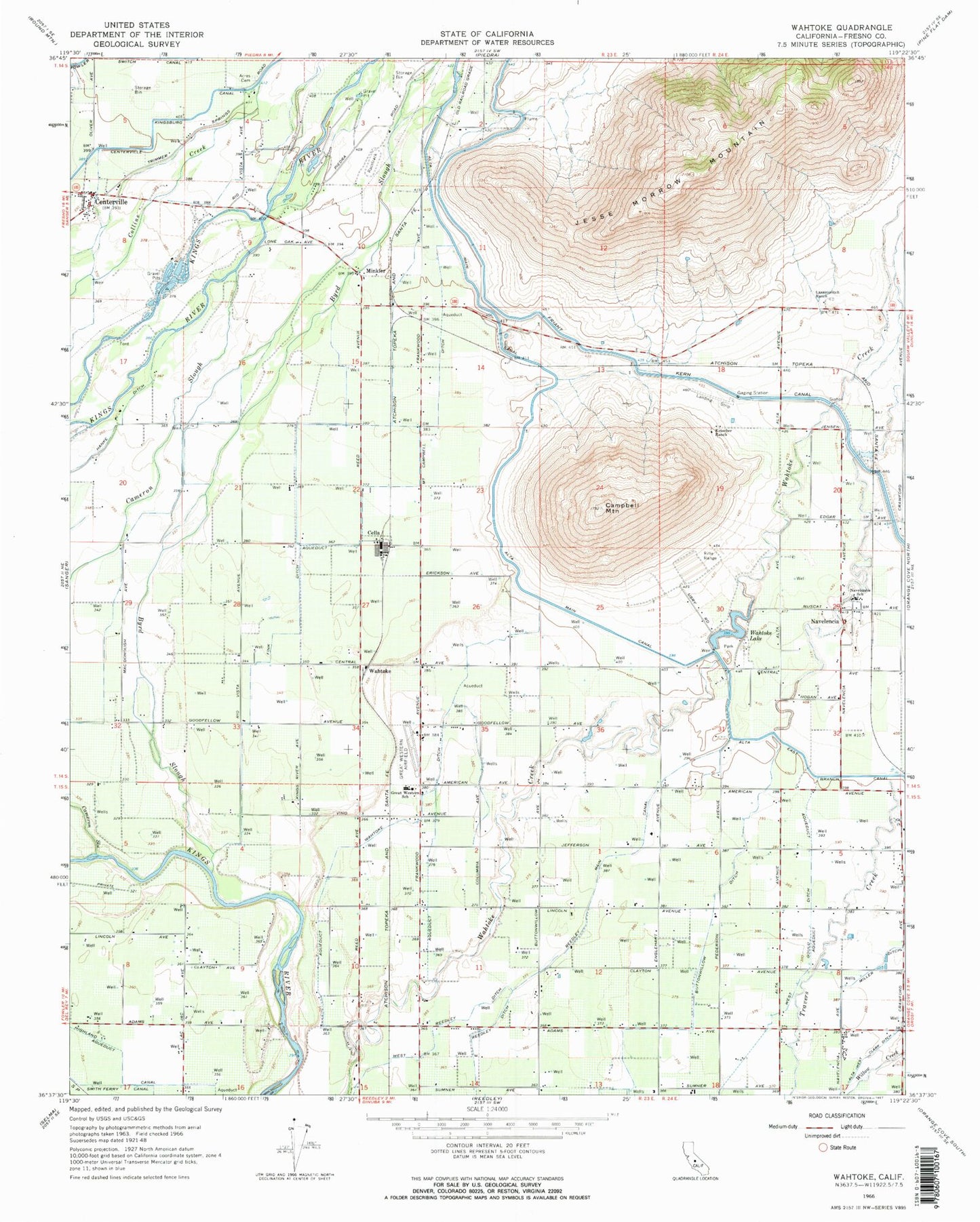
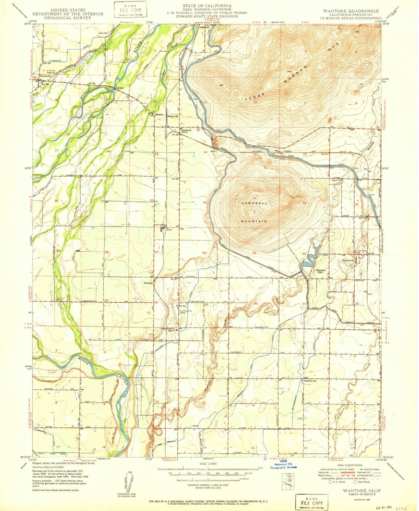
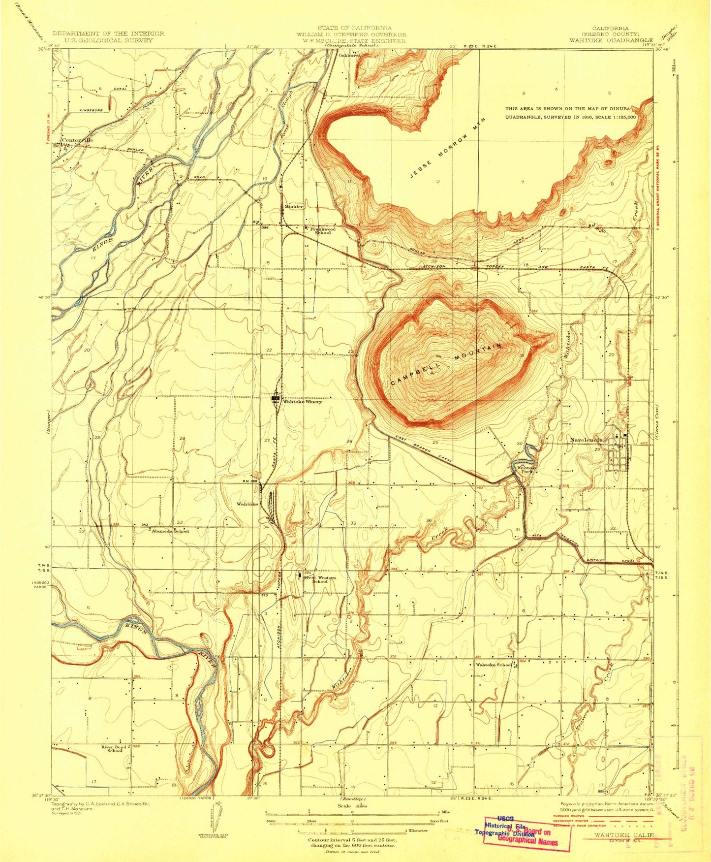
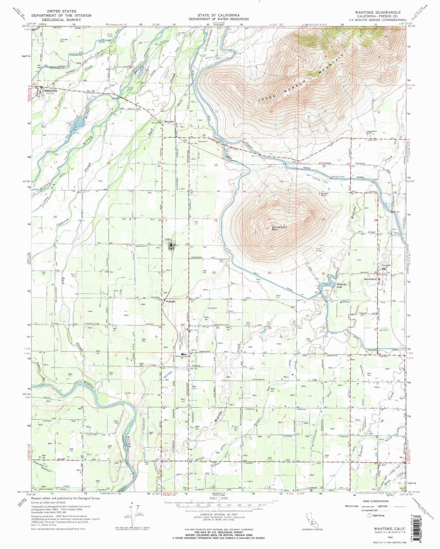
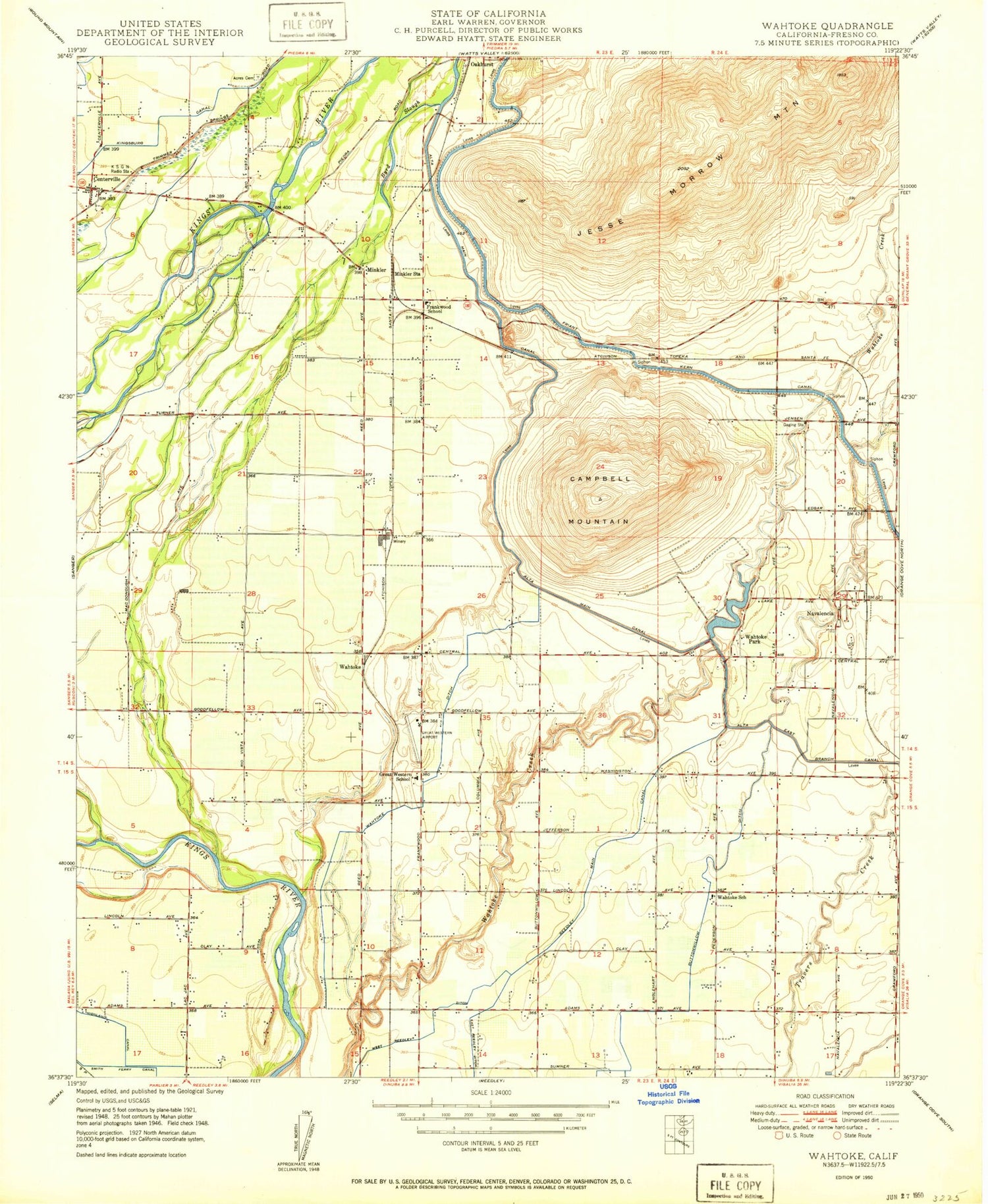
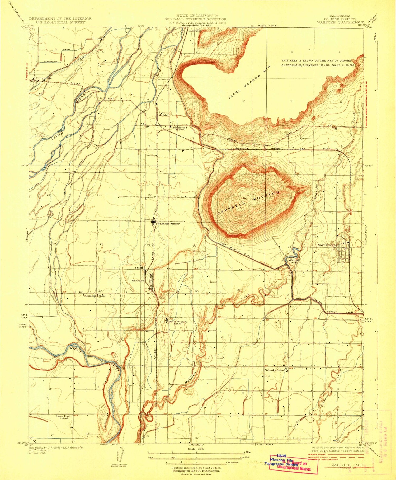
Classic USGS Wahtoke California 7.5'x7.5' Topo Map
Couldn't load pickup availability
Historical USGS topographic quad map of Wahtoke in the state of California. Map scale may vary for some years, but is generally around 1:24,000. Print size is approximately 24" x 27"
This quadrangle is in the following counties: Fresno.
The map contains contour lines, roads, rivers, towns, and lakes. Printed on high-quality waterproof paper with UV fade-resistant inks, and shipped rolled.
Contains the following named places: Acres Cemetery, Alameda School, Alta Main Canal, Byrd Slough, Cameron Slough, Campbell Ditch, Campbell Mountain, Cella, Centerville, Centerville Census Designated Place, Fink Ditch, Frankwood School, Great Western Elementary School, Highland Canal, Jesse Morrow Mountain, Ketscher Ranch, Lassotovitch Ranch, Miller Ditch, Minkler, Minkler Census Designated Place, Navelencia, Navelencia Middle School, Oakhurst, Peg Field, Reedley Division, Reedley Main Canal, Reedley Municipal Airport, River Bend School, Wahtoke, Wahtoke Ditch, Wahtoke Lake, Wahtoke Park, Wahtoke School, Wahtoke Winery, Watsons Antique Farm Museum, West Gould Ditch, ZIP Code: 93654
