
MyTopo
Classic USGS Waite Maine 7.5'x7.5' Topo Map
Regular price
$16.95
Regular price
Sale price
$16.95
Unit price
per
Couldn't load pickup availability
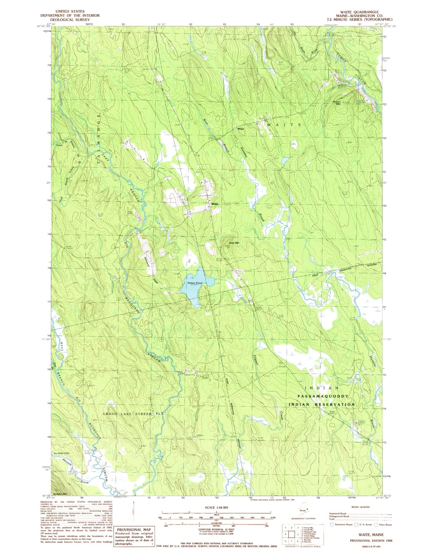
Historical USGS topographic quad map of Waite in the state of Maine. Typical map scale is 1:24,000, but may vary for certain years, if available. Print size: 24" x 27"
This quadrangle is in the following counties: Washington.
The map contains contour lines, roads, rivers, towns, and lakes. Printed on high-quality waterproof paper with UV fade-resistant inks, and shipped rolled.
Contains the following named places: Amazon Brook, Deadwater Brook, Democrat Ridge, Jim Brown Brook, McLain Mountain, Neal Mountain, North Branch Vickery Brook, Otter Brook, Patten Pond, Roy Bailey Camp, South Branch Vickery Brook, Vickery Brook, Waite, West Branch Huntley Brook, Bingo, Town of Waite


