MyTopo
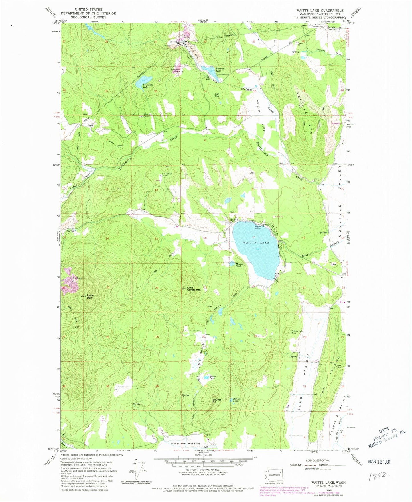
Classic USGS Waitts Lake Washington 7.5'x7.5' Topo Map
Couldn't load pickup availability
Historical USGS topographic quad map of Waitts Lake in the state of Washington. Map scale may vary for some years, but is generally around 1:24,000. Print size is approximately 24" x 27"
This quadrangle is in the following counties: Stevens.
The map contains contour lines, roads, rivers, towns, and lakes. Printed on high-quality waterproof paper with UV fade-resistant inks, and shipped rolled.
Contains the following named places: B B Mine, Boudes Hill, Browns Lake, Browns Lake Dam, Cedar Creek, Colville Valley Mine, Finch Quarry, Fourmile Lake, Hansen Lake, Jim McGraff Quarry, Lane Mountain, Little Coyote Mountain, Little Sweden, Long Prairie, Meadow Pond, Moss-Allen Quarry, Stevens County Fire District 4 Command Vehicle, Stevens County Fire District 4 Station 42 - Waitts Lake, Swede Lake, The Island, Waits, Waitts Lake, Waitts Lake - Valley Sewage Treatment Plant, Waitts Lake Dam, Woodbury Quarry, Wrights Creek, Wrights Mountain, Wrights Valley, ZIP Code: 99181