MyTopo
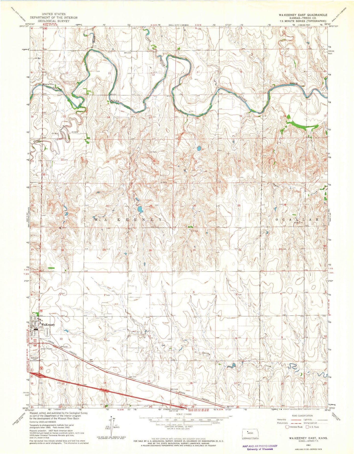
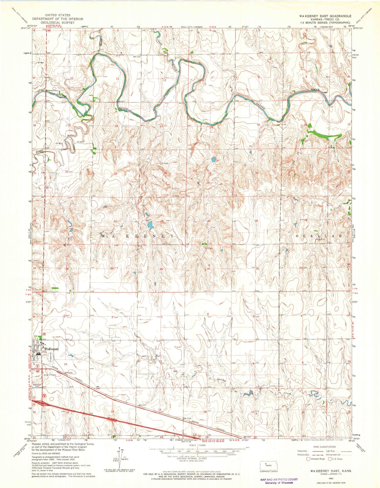
Classic USGS WaKeeney East Kansas 7.5'x7.5' Topo Map
Couldn't load pickup availability
Historical USGS topographic quad map of WaKeeney East in the state of Kansas. Map scale may vary for some years, but is generally around 1:24,000. Print size is approximately 24" x 27"
This quadrangle is in the following counties: Trego.
The map contains contour lines, roads, rivers, towns, and lakes. Printed on high-quality waterproof paper with UV fade-resistant inks, and shipped rolled.
Contains the following named places: Chalk Creek, Christ the King Catholic Cemetery, Galloway Airport, Happy Creek, Kansas Veterans' Cemetery at Wakeeney, Township of WaKeeney, Trego Community High School, Trego County Fair Exhibit Building, Trego County Fairgrounds, Trego County Juvenile Detention Center, Trego County- Lemke Memorial Hospital, Trego County Museum, Trego Creek, WaKeeney Church of God, Wakeeney City Cemetery, Wakeeney Speedway, Wakeeney Wastewater Treatment Facility