MyTopo
Classic USGS Wakefield NE Michigan 7.5'x7.5' Topo Map
Regular price
$16.95
Regular price
Sale price
$16.95
Unit price
per
Couldn't load pickup availability
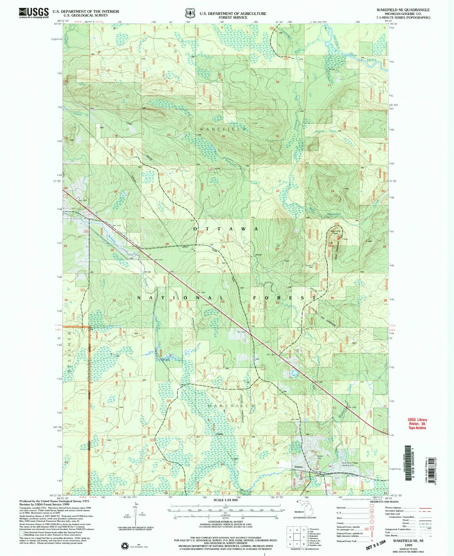
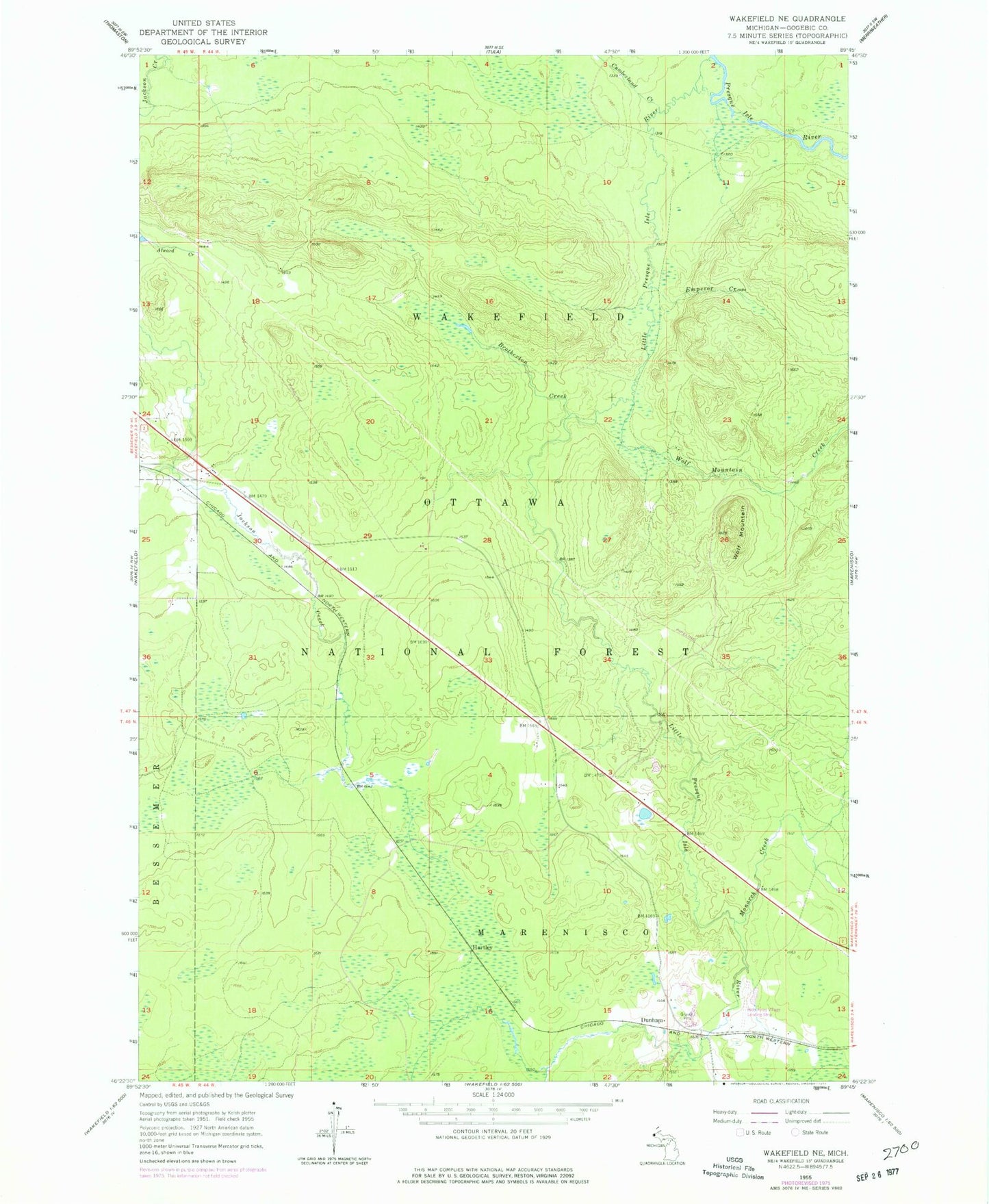
Historical USGS topographic quad map of Wakefield NE in the state of Michigan. Map scale may vary for some years, but is generally around 1:24,000. Print size is approximately 24" x 27"
This quadrangle is in the following counties: Gogebic.
The map contains contour lines, roads, rivers, towns, and lakes. Printed on high-quality waterproof paper with UV fade-resistant inks, and shipped rolled.
Contains the following named places: Brotherton Creek, Cumberland Creek, Dunham, Dunham Post Office, Dunham Station, Emperor Creek, Gogebic County, Hartley, Hide-Away Village Landing Strip, Little Presque Isle River, McVichie Creek, Monarch Creek, Veron Creek, Wolf Mountain, Wolf Mountain Creek