MyTopo
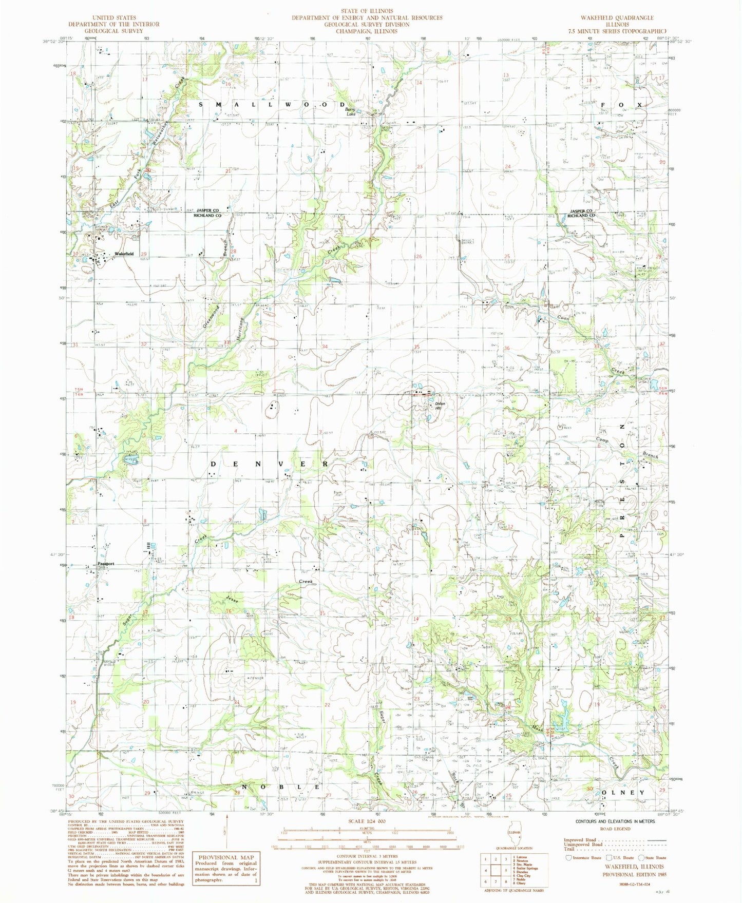
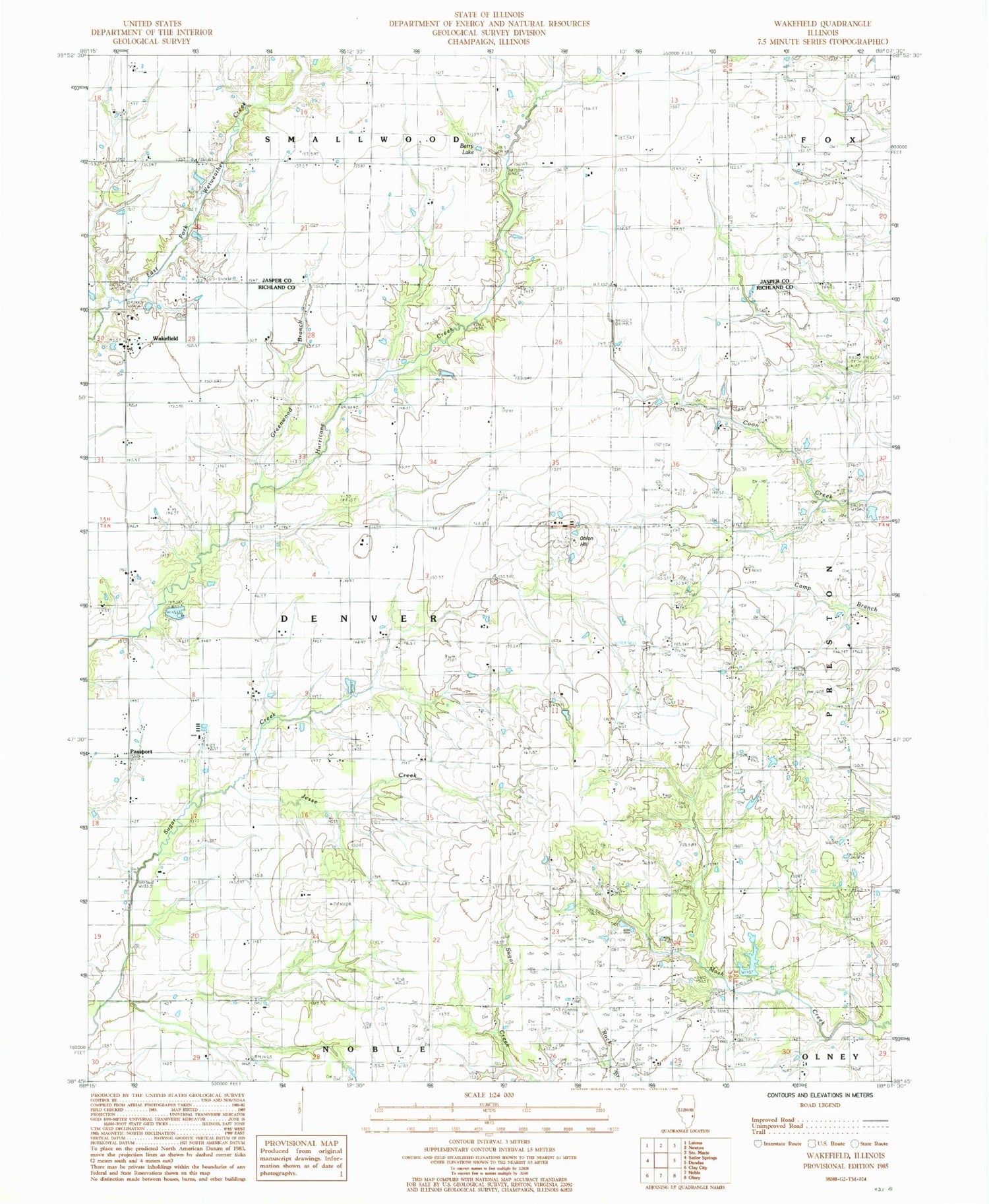
Classic USGS Wakefield Illinois 7.5'x7.5' Topo Map
Couldn't load pickup availability
Historical USGS topographic quad map of Wakefield in the state of Illinois. Map scale may vary for some years, but is generally around 1:24,000. Print size is approximately 24" x 27"
This quadrangle is in the following counties: Jasper, Richland.
The map contains contour lines, roads, rivers, towns, and lakes. Printed on high-quality waterproof paper with UV fade-resistant inks, and shipped rolled.
Contains the following named places: Amity School, Berry Lake, Blair School, Blue Jean School, Brown School, Brush College School, Denver School, Greenwood Branch, Gumble School, Hankins Cemetery, Hawthorne School, Hazel Dell School, Houser Cemetery, Jesse Creek, Kinkade School, Kuhl Brothers Farm, Liberty Cemetery, Maple Grove School, Mount Olive Church, Nix Lake, Nix Lake Dam, Noble - Wakefield Fire Protection District Wakefield Station, Onion Hill, Passport, Pleasant Ridge Church, Pleasant Valley Church, Pleasant View Cemetery, Pleasant View Church, Pleasant View School, Shady Grove School, Township of Denver, Trobaugh Cemetery, Wachtel Cemetery, Wakefield, Wakefield Mill Elevator, Wakefield School, Walnut Grove School, Wilson School, Wilsonburg, WUSI-TV (Olney)


