MyTopo
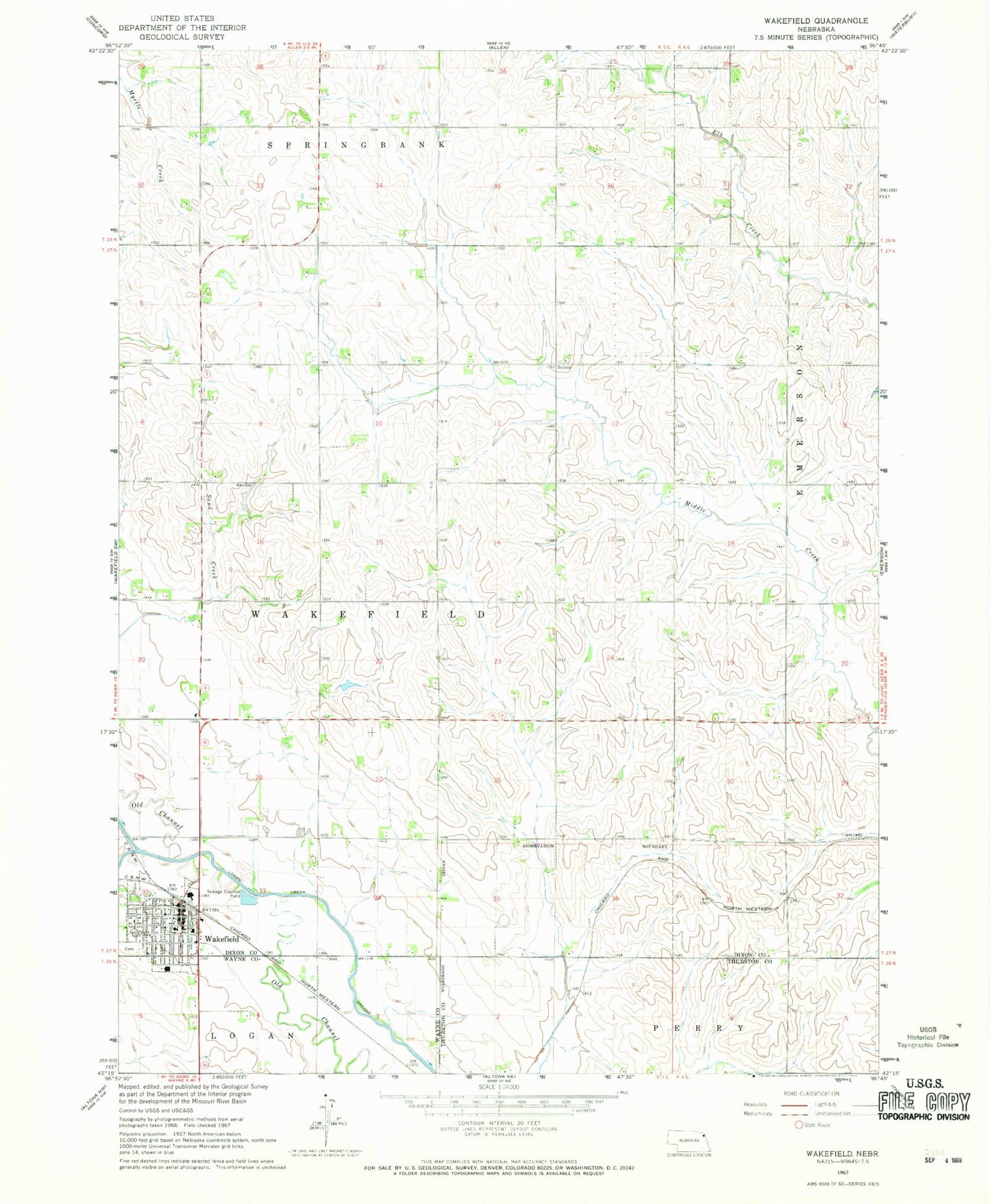
Classic USGS Wakefield Nebraska 7.5'x7.5' Topo Map
Couldn't load pickup availability
Historical USGS topographic quad map of Wakefield in the state of Nebraska. Map scale may vary for some years, but is generally around 1:24,000. Print size is approximately 24" x 27"
This quadrangle is in the following counties: Dixon, Thurston, Wayne.
The map contains contour lines, roads, rivers, towns, and lakes. Printed on high-quality waterproof paper with UV fade-resistant inks, and shipped rolled.
Contains the following named places: Christian Church, City of Wakefield, Dixon County Sheriff's Office, Eaton Field, Evangelical Covenant Church, Graves Public Library, Logan Valley Golf Course, Northeast Cooperative Elevator, Presbyterian Church, Saint Johns Lutheran Church, Saint Johns Trailer Court, Salem Lutheran Church, South Logan Creek, Township of Emerson, Township of Wakefield, Wakefield, Wakefield Dental Practice Center, Wakefield Health Care Center, Wakefield Medical Clinic, Wakefield Post Office, Wakefield Public Schools, Wakefield Rescue Unit, Wakefield Volunteer Fire Department