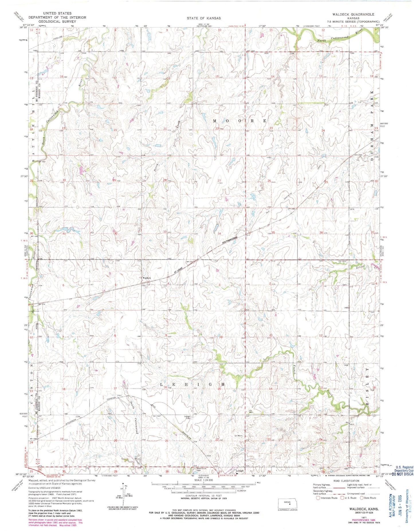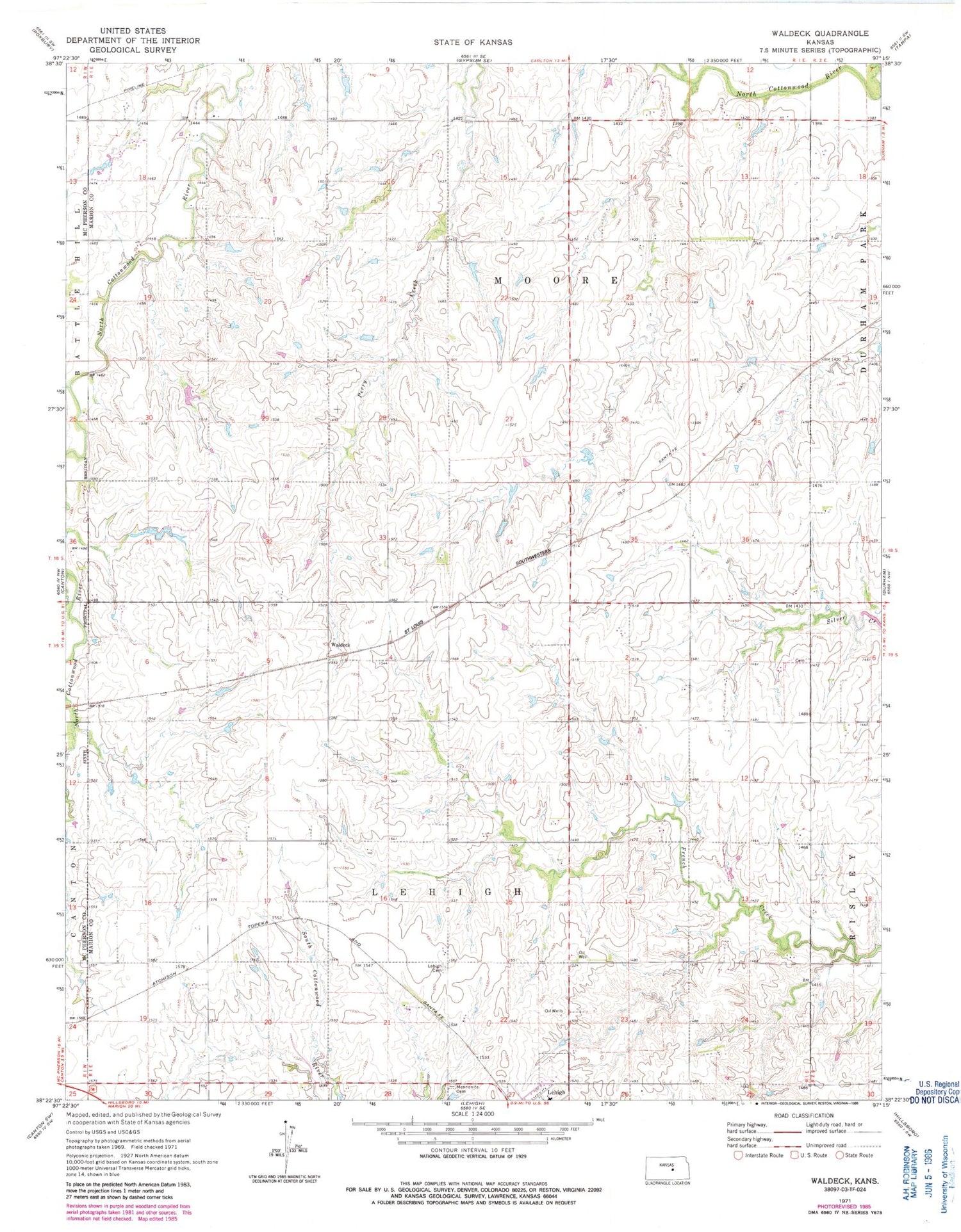
MyTopo
Classic USGS Waldeck Kansas 7.5'x7.5' Topo Map
Regular price
$16.95
Regular price
Sale price
$16.95
Unit price
per
Couldn't load pickup availability
Historical USGS topographic quad map of Waldeck in the state of Kansas. Map scale may vary for some years, but is generally around 1:24,000. Print size is approximately 24" x 27"
This quadrangle is in the following counties: Marion, McPherson.
The map contains contour lines, roads, rivers, towns, and lakes. Printed on high-quality waterproof paper with UV fade-resistant inks, and shipped rolled.
Contains the following named places: Acorn Community Hall, Geis School, Lehigh Township Cemetery, Mennonite Brethren Church Cemetery, Plainview School, Pleasant Valley School, Rose Hill School, Silverfeld School, Township of Lehigh, Township of Moore, Waldeck, Waldeck School, ZIP Codes: 67073, 67438