MyTopo
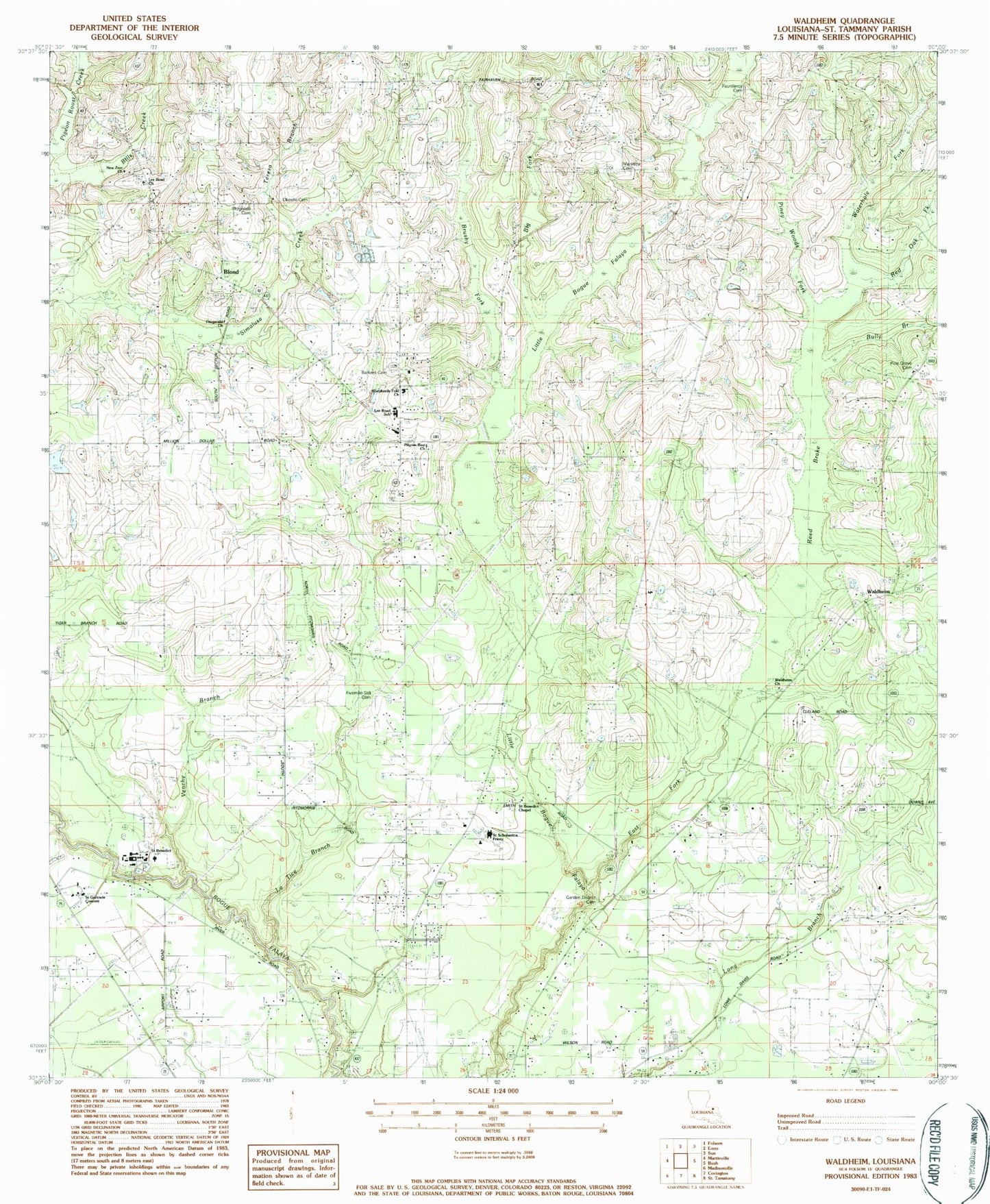
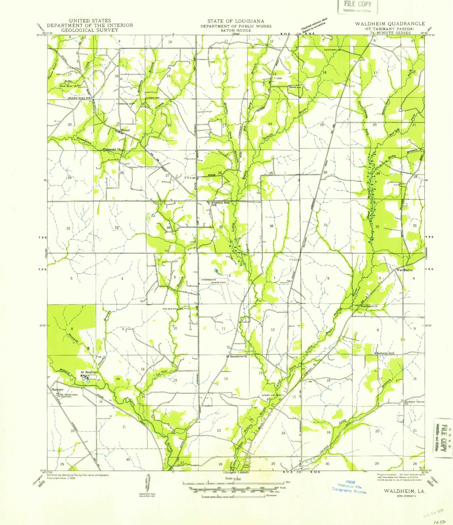
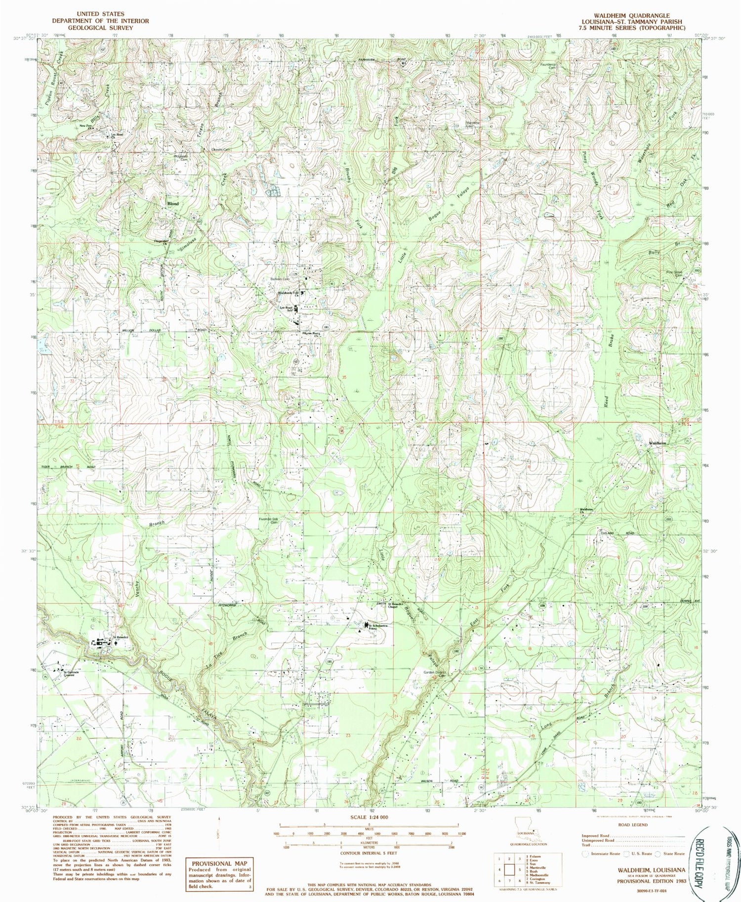
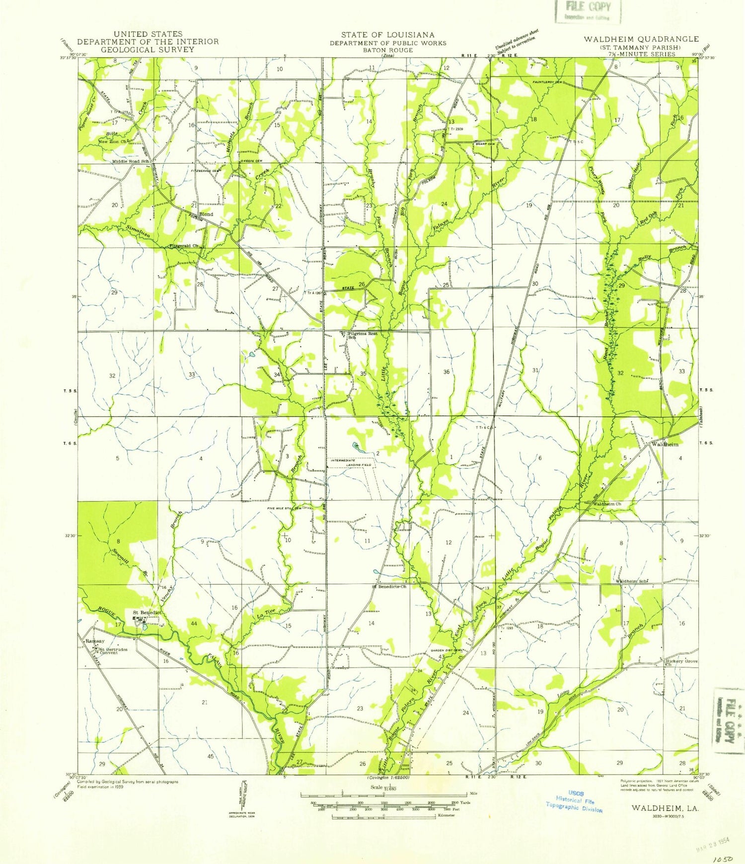
Classic USGS Waldheim Louisiana 7.5'x7.5' Topo Map
Couldn't load pickup availability
Historical USGS topographic quad map of Waldheim in the state of Louisiana. Map scale may vary for some years, but is generally around 1:24,000. Print size is approximately 24" x 27"
This quadrangle is in the following counties: St. Tammany.
The map contains contour lines, roads, rivers, towns, and lakes. Printed on high-quality waterproof paper with UV fade-resistant inks, and shipped rolled.
Contains the following named places: Abbeys Pond, Abbeys Pond Dam, Barkers Cemetery, Big Fork, Blond, Brushy Fork, Bully Branch, East Fork Little Bogue Falaya, Fauntleroy Cemetery, Fitzgerald Cemetery, Fitzgerald Church, Fivemile Still Cemetery, Garden District Cemetery, Hope Church, Keating Cemetery, La Tice Branch, Landmark Church of God, Lee Road Cemetery, Lee Road Church, Lee Road Junior High School, Long Branch Chapel, Maryetta Cemetery, New Zion Baptist Church, New Zion Cemetery, Okeefe Cemetery, Parish Governing Authority District 2, Pilgrim Rest Cemetery, Pilgrim Rest Church, Pine Grove Church, Piney Woods Fork, Red Oak Fork, Reed Brake, Saint Benedict, Saint Benedict Chapel, Saint Gertrude Convent, Saint Gertrudes Cemetery, Saint Joseph Abbey and Seminary College, Saint Joseph Abbey Cemetery, Saint Joseph Abbey Church, Saint Scholastica Priory, Saint Tammany Parish Fire District 6 Station 1, Saint Tammany Parish Fire District 6 Station 2, Saint Tammany Parish Fire District 8 Station 82, Saint Tammany Parish Library Lee Road Branch, Shepherds Fold Church, Teresa Branch, Terre Maria Sewage Treatment Plant, Venchy Branch, Waldheim, Waldheim Cemetery, Waldheim Methodist Church, Waterhole Fork, ZIP Code: 70435


