MyTopo
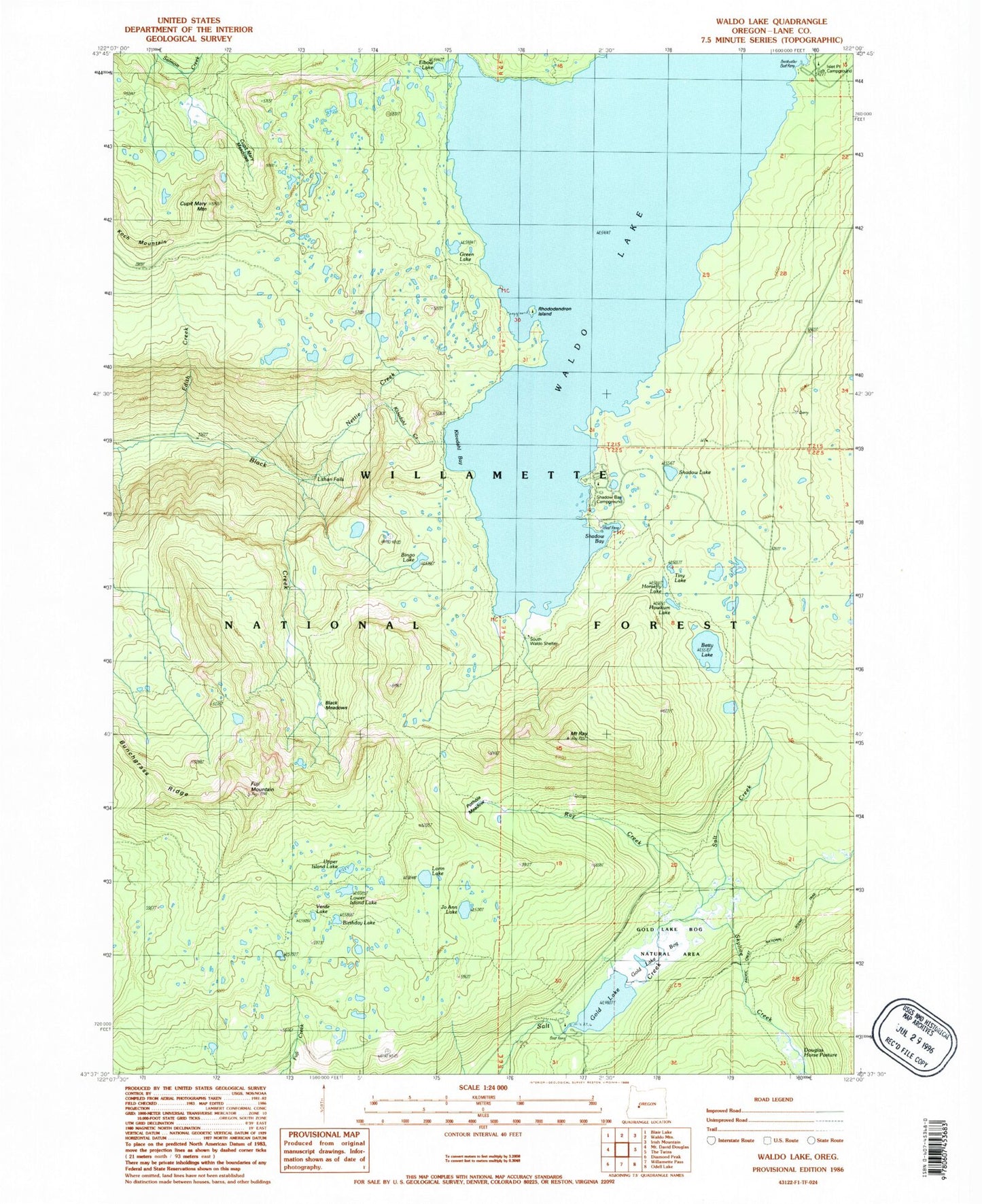
Classic USGS Waldo Lake Oregon 7.5'x7.5' Topo Map
Couldn't load pickup availability
Historical USGS topographic quad map of Waldo Lake in the state of Oregon. Typical map scale is 1:24,000, but may vary for certain years, if available. Print size: 24" x 27"
This quadrangle is in the following counties: Deschutes, Lane.
The map contains contour lines, roads, rivers, towns, and lakes. Printed on high-quality waterproof paper with UV fade-resistant inks, and shipped rolled.
Contains the following named places: Klovdahl Creek, Edith Creek, Shadow Bay, Jo Ann Lake, Black Meadows, Crain Prairie Trail, Betty Lake, Bingo Lake, Bunchgrass Ridge, Cupit Mary Meadow Trail, Cupit Mary Mountain, Deer Camp, Douglas Horse Pasture, Elbow Lake, Fuji Mountain, Fuji Mountain Trail, Gold Lake, Gold Lake Trail, Green Lake, High Divide Trail, Horsefly Lake, Howkum Lake, Island Lake Trail, Klovdahl Bay, Koch Mountain, Lillian Falls, Lorin Lake, Lower Island Lake, Maiden Peak Trail, Mount Ray Trail, Nettie Creek, Pothole Meadow, Mount Ray, Shadow Lake, Skyline Creek, South Waldo Shelter, Tiny Lake, Upper Island Lake, Waldo Lake, Waldo Lake Trail, Sapphire Lake, Cupit Mary Meadow, Emerald Lake, King Lake, Kinglet Lake, Spirit Lake, Zircon Lake, Ray Creek, Birthday Lake, Full Creek, Gold Lake Bog, Verde Lake, Photo Lake, Lower Betty Lake, Bongo Lake, Cardiac Lake, Fig Lake, Last Lake, Sump Lake, Trio Lake Number 3, Trio Lake Number 2, Trio Lake Number 1, Shadow Bay Recreation Site, Gold Lake Recreation Site, Gold Lake Bog Research Natural Area, Islet Recreation Site, Rhododendron Island Recreation Site, Boo Boo Lake, Deer Camp Lake, Gold Lake Boat Ramp, Shadow Bay Campground Boat Ramp, Islet Boat Ramp


