MyTopo
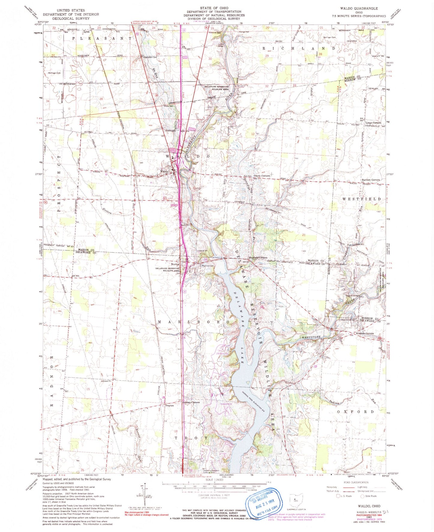
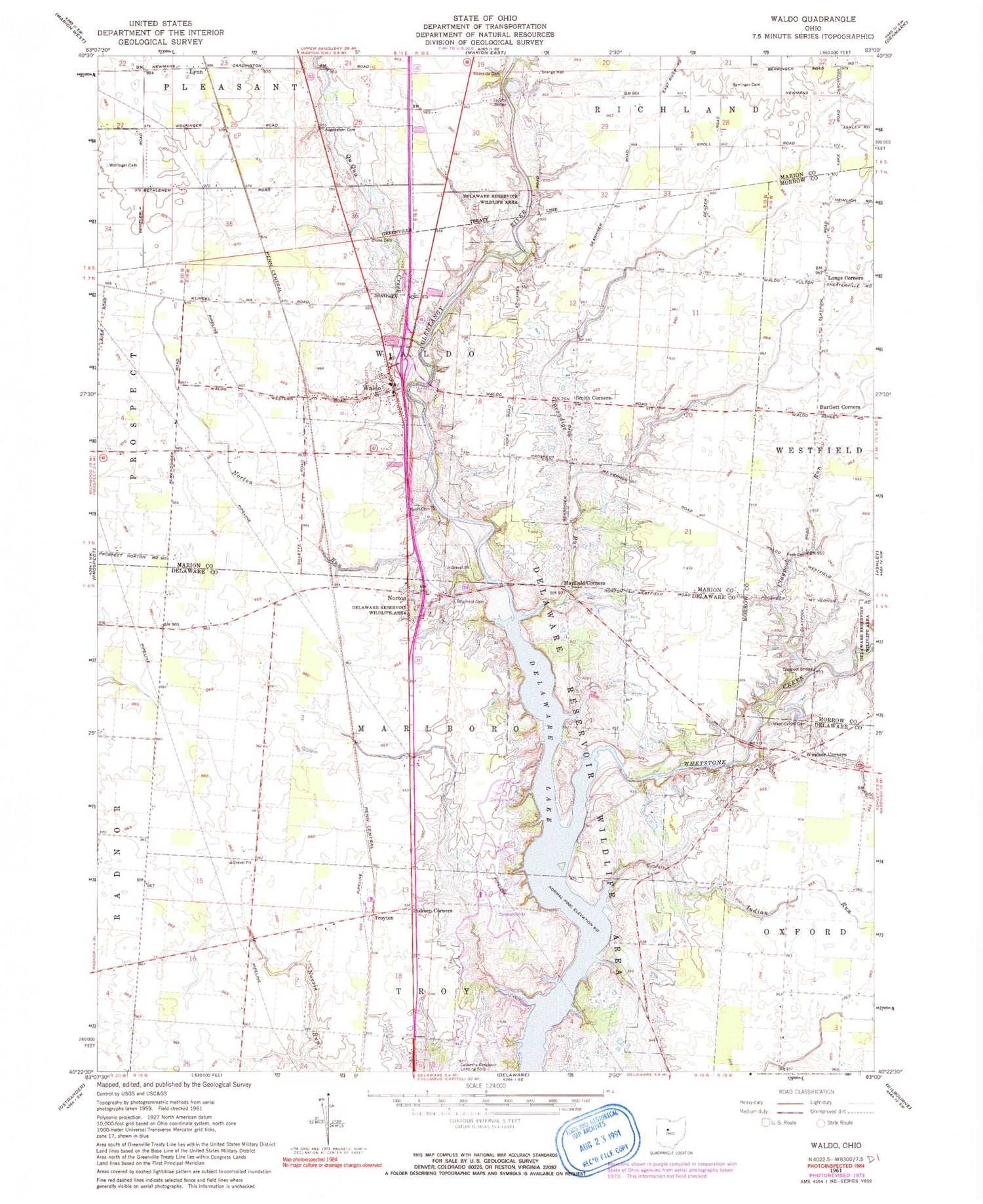
Classic USGS Waldo Ohio 7.5'x7.5' Topo Map
Couldn't load pickup availability
Historical USGS topographic quad map of Waldo in the state of Ohio. Typical map scale is 1:24,000, but may vary for certain years, if available. Print size: 24" x 27"
This quadrangle is in the following counties: Delaware, Marion, Morrow.
The map contains contour lines, roads, rivers, towns, and lakes. Printed on high-quality waterproof paper with UV fade-resistant inks, and shipped rolled.
Contains the following named places: Augenstein Cemetery, Berringer Cemetery, Claypool Run, Delaware Reservoir Wildlife Area, Inskeep Corners, Jacoby Bridge, Longs Corners, Mayfield Cemetery, Mayfield Corners, Peak Cemetery, Riverside Cemetery, West Oxford Cemetery, Whetstone Creek, Wolfinger Cemetery, Waldo, Waldo Elementary School, Hoke Bridge (historical), Saint James Church (historical), Cherry Ridge School (historical), Marlboro Church (historical), Schorr School (historical), White School (historical), Claypool Bridge, Lynn, Troyton, Bartlett Corners, Norton, Brondige Run, Indian Run, Qu Qua Creek, Drake Cemetery, Wyatt Cemetery, Norton Run, Smith Corners, Windsor Corners, Soltis Field, Township of Marlboro, Township of Waldo, Norton Cemetery, Waldo Cemetery, Troyton Post Office (historical), Waldo Post Office, Village of Waldo, Flying Acres Airport (historical), Fort Morrow Fire District, The Groves At Newmans Crossing


