MyTopo
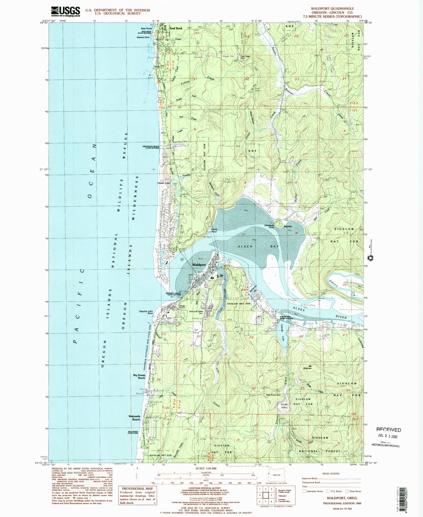
Classic USGS Waldport Oregon 7.5'x7.5' Topo Map
Couldn't load pickup availability
Historical USGS topographic quad map of Waldport in the state of Oregon. Typical map scale is 1:24,000, but may vary for certain years, if available. Print size: 24" x 27"
This quadrangle is in the following counties: Lincoln.
The map contains contour lines, roads, rivers, towns, and lakes. Printed on high-quality waterproof paper with UV fade-resistant inks, and shipped rolled.
Contains the following named places: Oliver Creek, Sandpiper, Swede Fork Eckman Creek, Eckman Lake, Day Drainage Ditch, Alder Grove Cemetery, Alsea Bay, Alsea River, Bayview, Buckley Creek, Collins Creek, Drift Creek, Eckman Creek, Fern Ridge Cemetery, Fox Creek, Governor Patterson Memorial State Recreation Site, Hidden Lake, Hill Creek, Lint Creek, Lint Slough, Little Creek, McKinney Slough, Memorial Home Cemetery, Seal Rock, Seal Rock State Recreation Site, Squaw Creek, Wakonda Beach, Waldport, Central Coast Ranger Station, Wakonda Beach State Airport, Beachside State Recreation Site, Little Creek Spring, Red River, South Fork Weist Creek, William P. Keady State Wayside, Constantine Creek, Annice Creek, Darling Creek, Freeman Creek, Weist Creek, Patterson Creek, Alsea Bay - North Bridgehead Wayside (historical), Lotus Lake, Walker Creek, Twombly Creek, Little Creek, Elephant Rock, Holly Beach, Driftwood Beach State Recreation Site, Judd, Lint Slough Fish Hatchery (historical), Lint Slough Dam (historical), Swede Fork, Yaquina John Point, Friday Creek, Thursday Creek, Bayshore, Burnham Creek, Graves Creek, Howe Canyon, South Fork Collins Creek, W B Nelson State Recreation Site, Devils Bend, Mount Eckman, Eckman Quarry, Starr Creek, Big Stump Beach, Shepards Point, Collins Post Office (historical), Lutgens Post Office (historical), Nice Post Office (historical), Bayview Post Office (historical), Waldport Post Office, Yamada Post Office (historical), Eckman Slough, L Presley and Vera C Gill State Park, Collins Creek State Park, City of Waldport, Crestview Heights School, Waldport High School, Church of Jesus Christ of Latter Day Saints, Saint Anthonys Catholic Church, Yachats Rural Fire Protection District North Station, Crestview Hills Golf Course, Alsea Bay Historic Interpretive Center, Central Oregon Coast Fire and Rescue District 7 Station 7200, Seal Rock Rural Fire Protection District Bayshore Station, Yachats Rural Fire Protection District North Station, Seal Rock Rural Fire Protection District - Seal Rock Station, Waldport Wastewater Treatment Plant, Waldport Water Treatment Plant, Waldport Public Library, Waldport City Hall, Waldport Municipal Court, Waldport Public Works, Waldport Heritage Museum, The Alsea River RV Park and Marina, Port of Alsea Boat Ramp, King Silver RV Park and Marina, Drift Creek Landing, McKinley's Marina, Drift Creek Boat Landing, Bayshore Census Designated Place


