
MyTopo
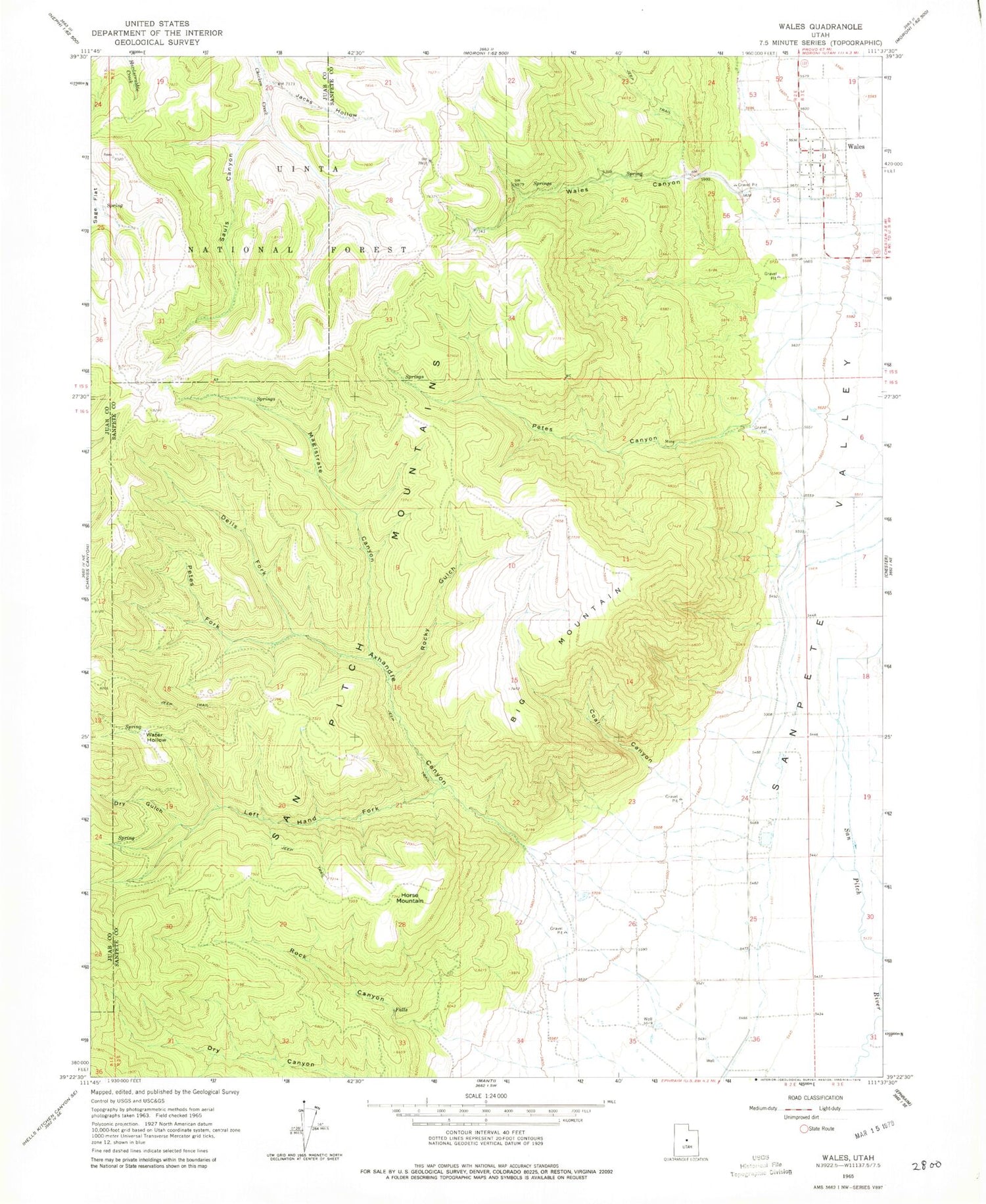
Classic USGS Wales Utah 7.5'x7.5' Topo Map
Couldn't load pickup availability
Historical USGS topographic quad map of Wales in the state of Utah. Map scale may vary for some years, but is generally around 1:24,000. Print size is approximately 24" x 27"
This quadrangle is in the following counties: Juab, Sanpete.
The map contains contour lines, roads, rivers, towns, and lakes. Printed on high-quality waterproof paper with UV fade-resistant inks, and shipped rolled.
Contains the following named places: Ax Handle Canyon, Big Mountain, Coal Canyon, Dells Fork, Dry Gulch, Horse Mountain, Jacks Hollow, Left Hand Fork Axhandle Canyon, Magistrate Canyon, Oak Creek, Peach Canyon Creek, Petes Canyon, Petes Fork, Rock Canyon, Rocky Gulch, Sauls Canyon, The Church of Jesus Christ of Latter Day Saints, Town of Wales, Wales, Wales Canyon, Wales Cemetery, Wales Volunteer Fire Department, Water Hollow


