MyTopo
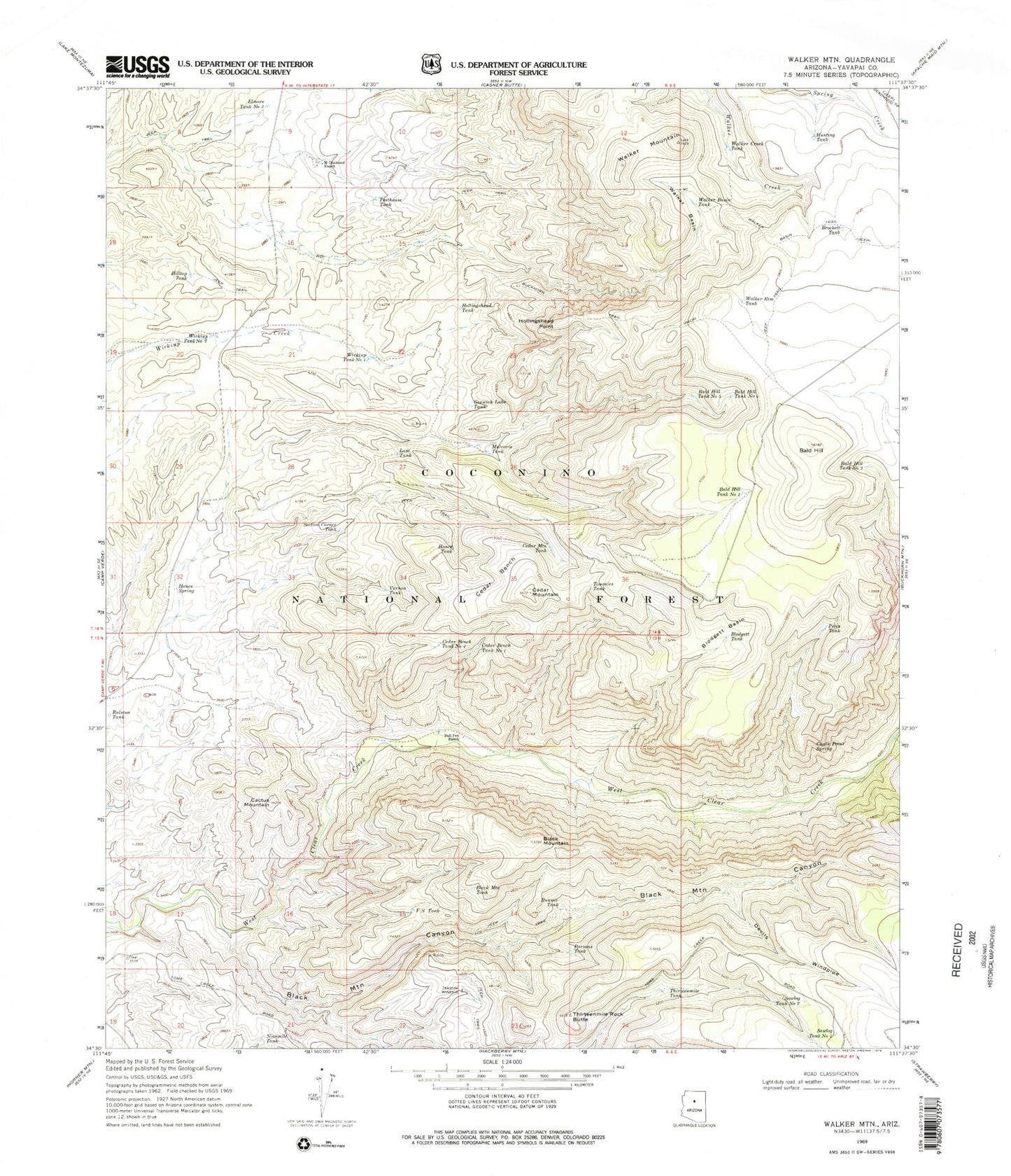
Classic USGS Walker Mountain Arizona 7.5'x7.5' Topo Map
Couldn't load pickup availability
Historical USGS topographic quad map of Walker Mountain in the state of Arizona. Typical map scale is 1:24,000, but may vary for certain years, if available. Print size: 24" x 27"
This quadrangle is in the following counties: Yavapai.
The map contains contour lines, roads, rivers, towns, and lakes. Printed on high-quality waterproof paper with UV fade-resistant inks, and shipped rolled.
Contains the following named places: Clear Creek Number One Spring, Bald Hill, Bald Hill Tank Number Two, Bald Hill Tank Number Three, Bald Hill Tank Number Four, Bald Hill Tank Number Five, Black Mountain, Black Mountain Canyon, Black Mountain Tank, Blodgett Basin, Blodgett Tank, Brockett Tank, Buckhorn Trail, Bull Pen Ranch, Cactus Mountain, Cedar Bench, Cedar Bench Tank Number One, Cedar Bench Tank Number Two, Cedar Mountain, Cedar Mountain Tank, Chalk Point Spring, Devils Windpipe, Elmore Tank Number Two, F S Tank, Goswick Lake Tank, Hance Spring, Hance Tank, Hilltop Tank, Hollingshead Point, Hollingshead Tank, Hunting Tank, Jawbone Windmill, Last Tank, M Diamond Ranch, Mulcarie Tank, Ninemile Tank, Parsons Tank, Pesthouse Tank, Petes Tank, Runner Tank, Sawlog Tank Number One, Sawlog Tank Number Two, Section Corner Tank, Thirteenmile Rock Butte, Thirteenmile Tank, Tommies Tank, Vernon Tank, Walker Basin, Walker Basin Tank, Walker Basin Trail, Walker Creek Tank, Walker Mountain, Walker Rim Tank, Wickiup Tank Number One, Wickiup Tank Number Two, Clear Creek Number Two Spring, Devils Jawbone Tank, Diamond M Tank, Hollingshead Point Tank, Quail Trick Tank, Thirteen Mile Spring, West Clear Creek Wilderness, Blodgett Basin Tank, Bull Tank, Trail Tank, Red Tank, Strip Tank, Boulder Tank, Bull Pen Campground


