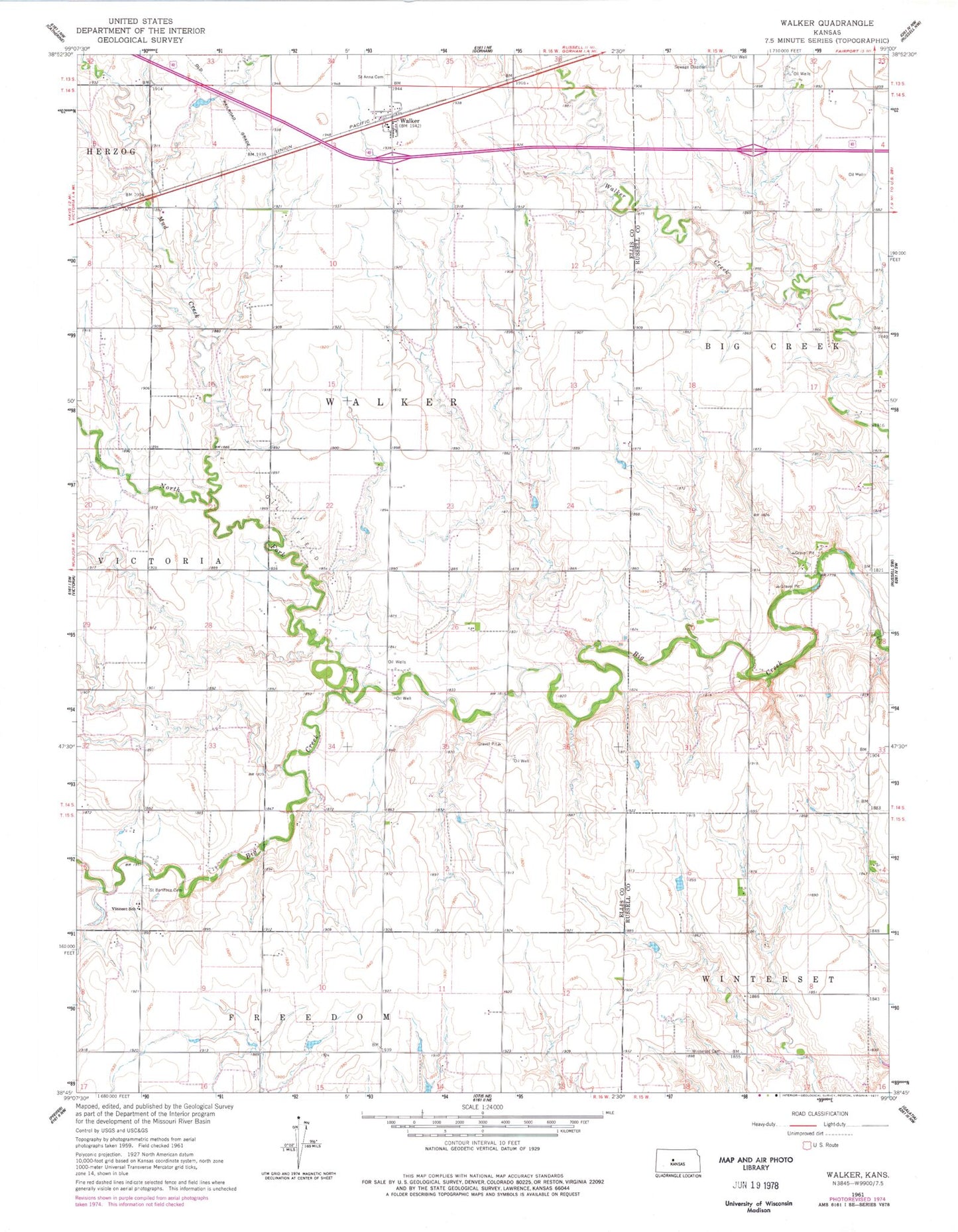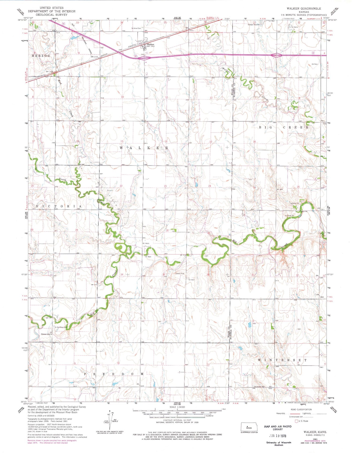
MyTopo
Classic USGS Walker Kansas 7.5'x7.5' Topo Map
Regular price
$16.95
Regular price
Sale price
$16.95
Unit price
per
Couldn't load pickup availability
Historical USGS topographic quad map of Walker in the state of Kansas. Map scale may vary for some years, but is generally around 1:24,000. Print size is approximately 24" x 27"
This quadrangle is in the following counties: Ellis, Russell.
The map contains contour lines, roads, rivers, towns, and lakes. Printed on high-quality waterproof paper with UV fade-resistant inks, and shipped rolled.
Contains the following named places: Dinkel Airport, Mud Creek, North Fork Big Creek, Saint Anns Cemetery, Saint Boniface Cemetery, Township of Victoria, United Agricultural Service Grain Elevator Number 8, Victoria Wastewater Plant, Vincent School, Walker, Winterset, Winterset Cemetery, ZIP Code: 67674