MyTopo
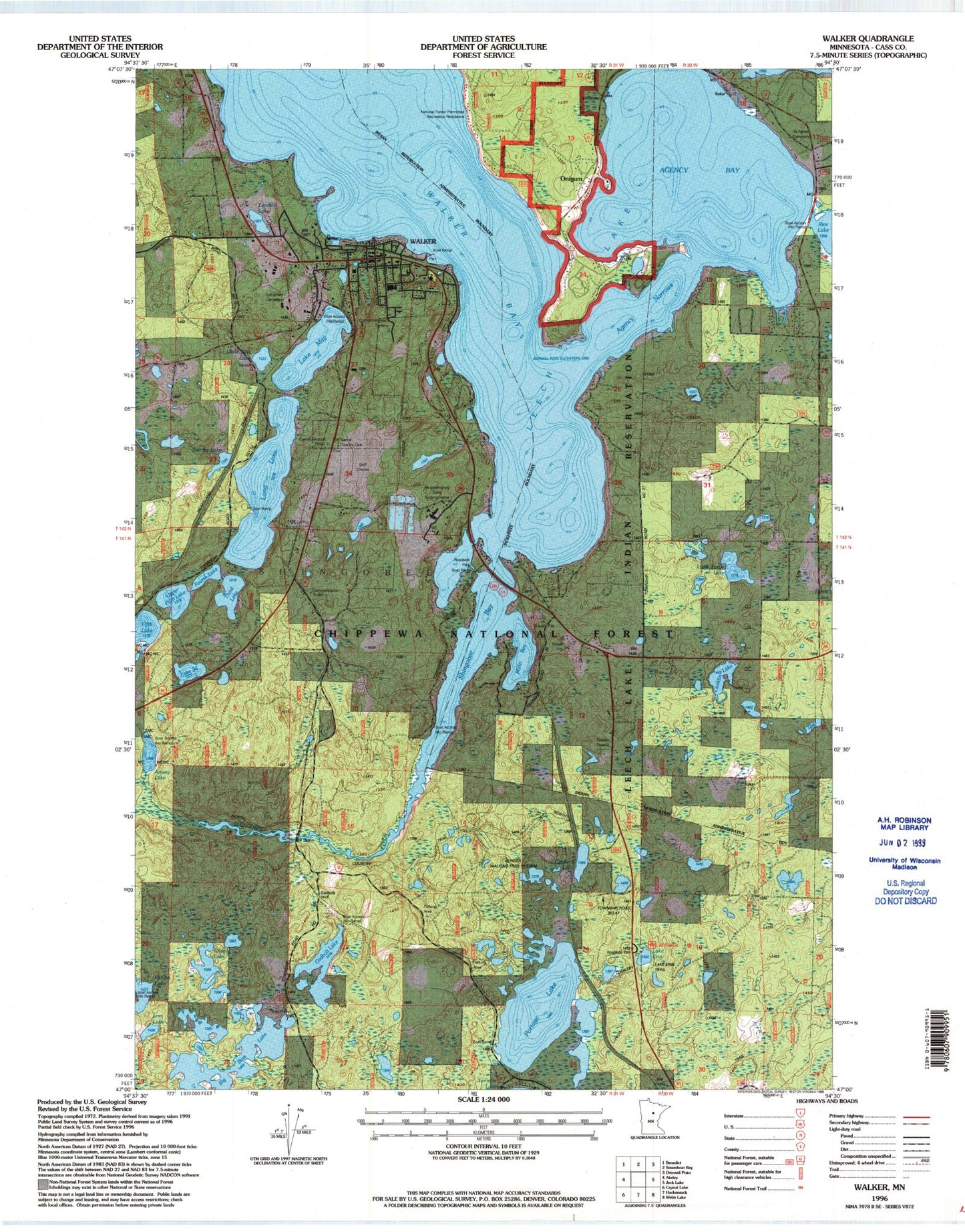
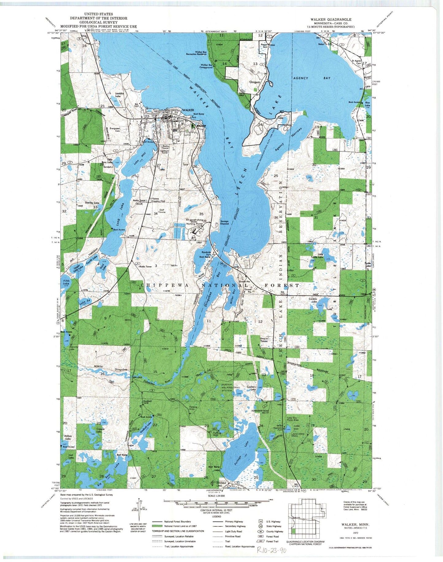
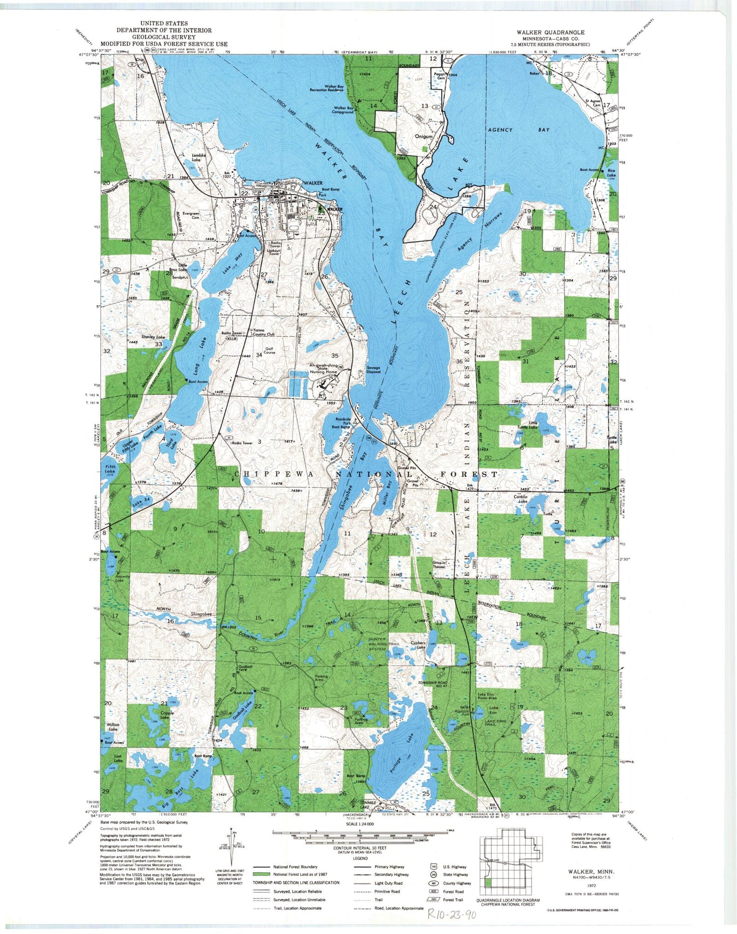
Classic USGS Walker Minnesota 7.5'x7.5' Topo Map
Couldn't load pickup availability
Historical USGS topographic quad map of Walker in the state of Minnesota. Map scale may vary for some years, but is generally around 1:24,000. Print size is approximately 24" x 27"
This quadrangle is in the following counties: Cass.
The map contains contour lines, roads, rivers, towns, and lakes. Printed on high-quality waterproof paper with UV fade-resistant inks, and shipped rolled.
Contains the following named places: Agency Bay, Agency Narrows, Ah-gwah-ching, Ah-Gwah-Ching Post Office, Ah-gwah-ching State Nursing Home, Anway Lake, Assembly of God Church, Baker, Beverly Healthcare Center - Woodcrest, Big Bass Lake, Cass County Jail, Cass County Sheriff's Office Walker, Chip, City of Walker, Community Church, Conklin Lake, County Road 50 Trail System, Cripple Lake, Cyphers, Cyphers Lake, Cyphers Post Office, Dakota Clilnic, Evergreen Cemetery, Fifth Lake, Fourth Lake, Gadbolt, Gadbolt Lake, Hope Lutheran Church, Hunter Walking Trail System, Immanuel Lutheran Church, Kaylor Fishpond, Kaylor Fishpond Dam, KLLR Radio Tower (Ely), KLLR-AM (Walker), KLLR-FM (Walker), Lake Erin, Lake Erin Picnic Area, Lake Erin Trail, Lake May, Lake Thirtyfour, Lembke Lake, Little Bass Lake, Little Turtle Lake, Long Lake, Lost Lake, Meritcare Clinic, Miller Bay, Million Lake, North Memorial Ambulance, Onigum, Onigum Post Office, Pagan Cemetery, Portage Lake, Saint Agnes Cemetery, Saint Agnes Church, Shingobee Bay, Shingobee Bay Rest Area, Shingobee River, Stanley Lake, Third Lake, Tianna Country Club, Township of Shingobee, Travel Trailer Terrace, Upper Fifth Lake, Walker, Walker Bay, Walker Bay Campground, Walker Bay Recreation Residence, Walker City Hall, Walker City Park, Walker Elementary School, Walker Fire Department, Walker Museum of Natural History and Indian Life, Walker Police Department, Walker Post Office, Walker Public Library, Wolf's Trail-In Resort and Campground