MyTopo
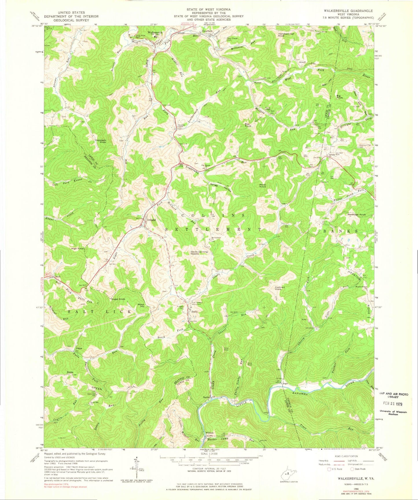
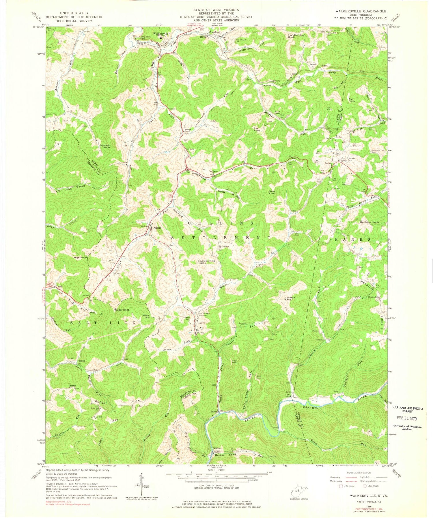
Classic USGS Walkersville West Virginia 7.5'x7.5' Topo Map
Couldn't load pickup availability
Historical USGS topographic quad map of Walkersville in the state of West Virginia. Map scale may vary for some years, but is generally around 1:24,000. Print size is approximately 24" x 27"
This quadrangle is in the following counties: Braxton, Lewis, Upshur.
The map contains contour lines, roads, rivers, towns, and lakes. Printed on high-quality waterproof paper with UV fade-resistant inks, and shipped rolled.
Contains the following named places: Abrams Run School, Bablin, Bear Hollow, Bee Knob, Beech Fork, Bennett Run, Beverage Knob, Big Knob, Big Run, Big Run School, Boyd, Bruffey Spring, Cave Run, Cherry Fork, Cherry Fork School, Chestnut Flat Cemetery, Cochran Knob, Cow Run School, Crane Camp Run, Crawford, Crawford Census Designated Place, Devils Darning Needle, Duffy, Fair Haven Church, Fallen Timber Run, Fort Pickens, Fort Pickens Monument, Glady Creek, Green Hill, Green Hill Cemetery, Green Hill Church, Green Hill School, Hacker Camp Run, Handkerchief Knob, Haystack Knob, Heading Chapel, Heaston Ridge Church, Hettie, High Knob, Ingo, Ireland, Ireland Post Office, Jewell, Joppa, Laurel Run, Leatherbark Run, Letch, Little Wildcat, Little Wildcat Run, Long Point Cemetery, McChord Run, McCutcheon Church, McCutcheon School, Middle Run, Millstone Run, Moon Hill, Moss Knob, Panther Fork, Panther Fork School, Pickens Cemetery, Post Chapel Cemetery, Right Fork Cherry Fork, Right Fork West Fork River, Spice Lick Run, Sprigg Hollow, Straight Fork Church, Straight Fork School, Sugar Knob, Sugarcamp Run, Sugarcamp School, Taylor Chapel, Trace Run, Union Hill Church, Union School, Walkersville, Walkersville Covered Bridge, Walkersville Post Office, Walkersville Volunteer Fire Department, Whites Camp School, Wildcat, Wolfpen Run, Wymer, ZIP Codes: 26343, 26376


