
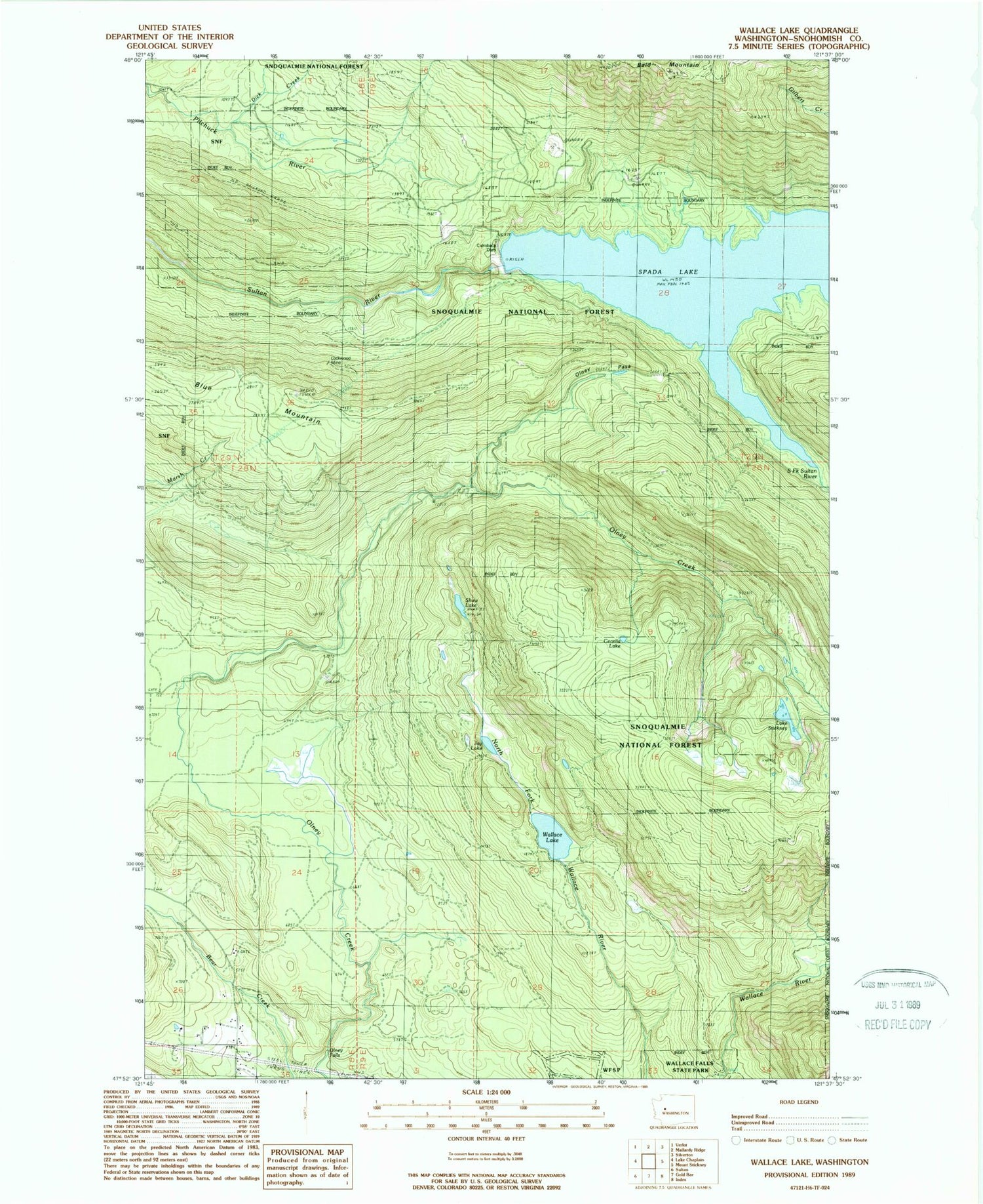
MyTopo
Classic USGS Wallace Lake Washington 7.5'x7.5' Topo Map
Regular price
$16.95
Regular price
Sale price
$16.95
Unit price
per
Couldn't load pickup availability
Historical USGS topographic quad map of Wallace Lake in the state of Washington. Map scale may vary for some years, but is generally around 1:24,000. Print size is approximately 24" x 27"
This quadrangle is in the following counties: Snohomish.
The map contains contour lines, roads, rivers, towns, and lakes. Printed on high-quality waterproof paper with UV fade-resistant inks, and shipped rolled.
Contains the following named places: Cecelia Lake, City of Everett Watershed, Culmback Dam, Dick Creek, Jay Lake, Lake Stickney, Lockwood Mine, Olney Falls, Olney Park Recreation Area, Olney Pass, Poplin Dam, Shaw Lake, South Fork Sultan River, Spada Lake, Sultan Basin, Sultan Ridge, Wallace Lake


