MyTopo
Classic USGS Wallace Ranch South Dakota 7.5'x7.5' Topo Map
Regular price
$16.95
Regular price
Sale price
$16.95
Unit price
per
Couldn't load pickup availability
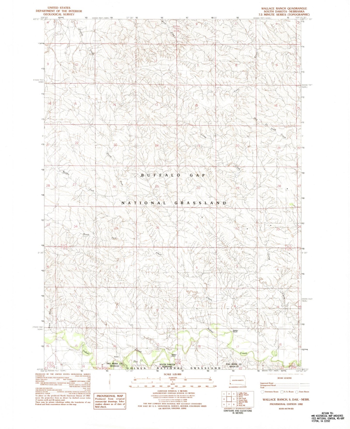
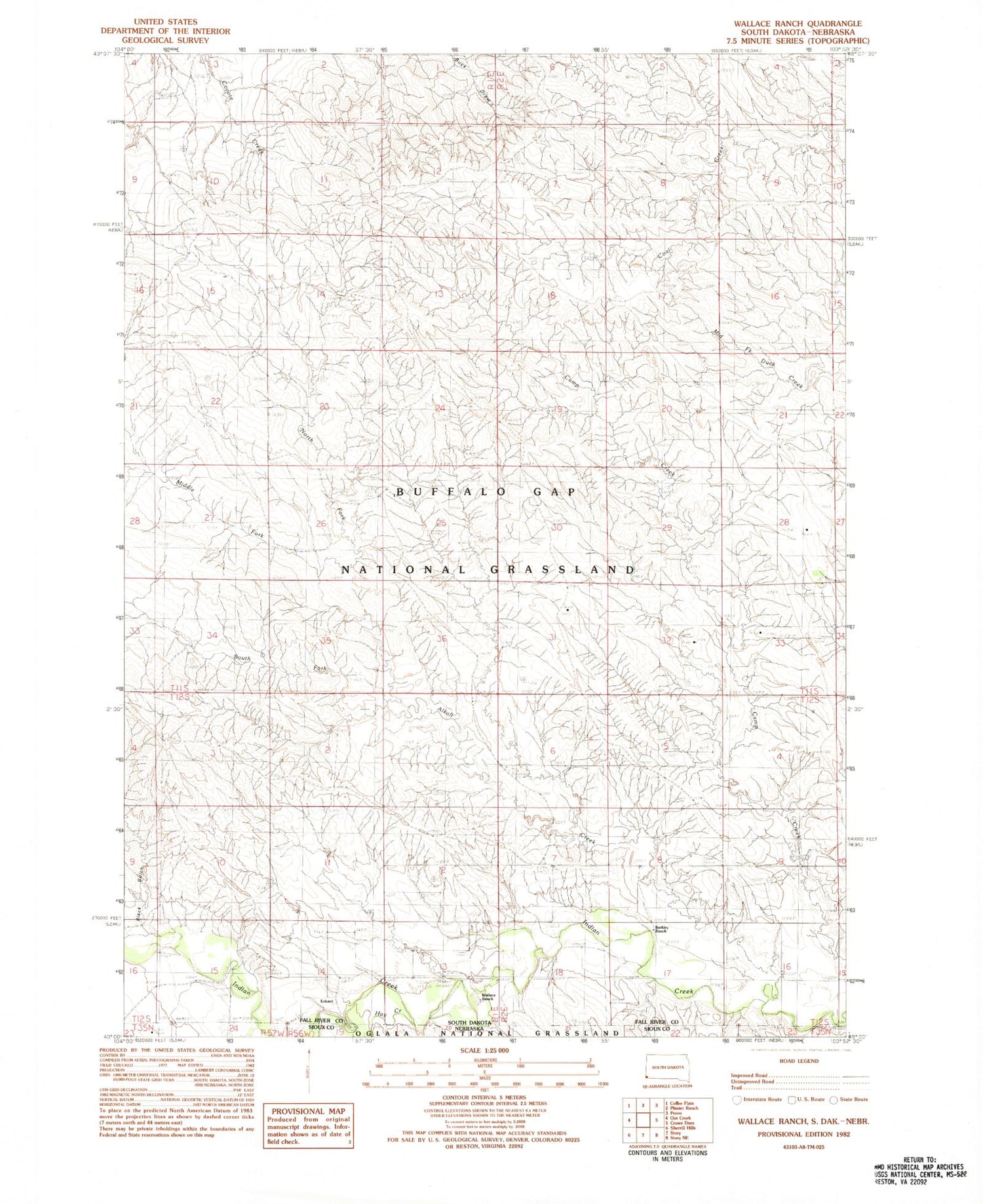
Historical USGS topographic quad map of Wallace Ranch in the states of South Dakota, Nebraska. Map scale may vary for some years, but is generally around 1:24,000. Print size is approximately 24" x 27"
This quadrangle is in the following counties: Fall River, Sioux.
The map contains contour lines, roads, rivers, towns, and lakes. Printed on high-quality waterproof paper with UV fade-resistant inks, and shipped rolled.
Contains the following named places: Alkali Creek, Barkley Ranch, Black Gulch, Bomb Range Dam, Camp Creek Dam, Eckard, Eckard Post Office, Hay Creek, Horse Creek, Indian Dam Number 1, Middle Fork Alkali Creek, North Fork Alkali Creek, South Fork Alkali Creek, Wallace Ranch