MyTopo
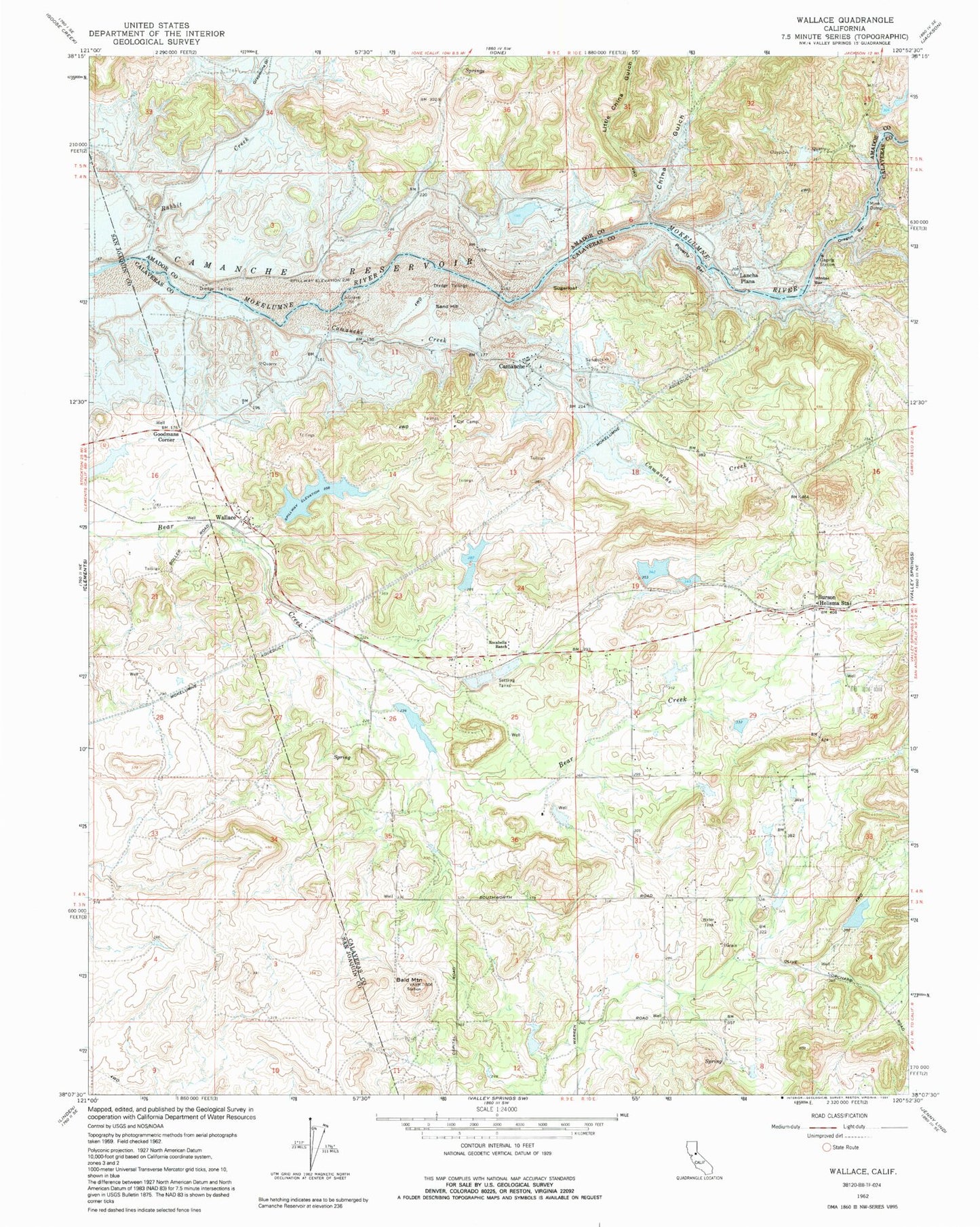
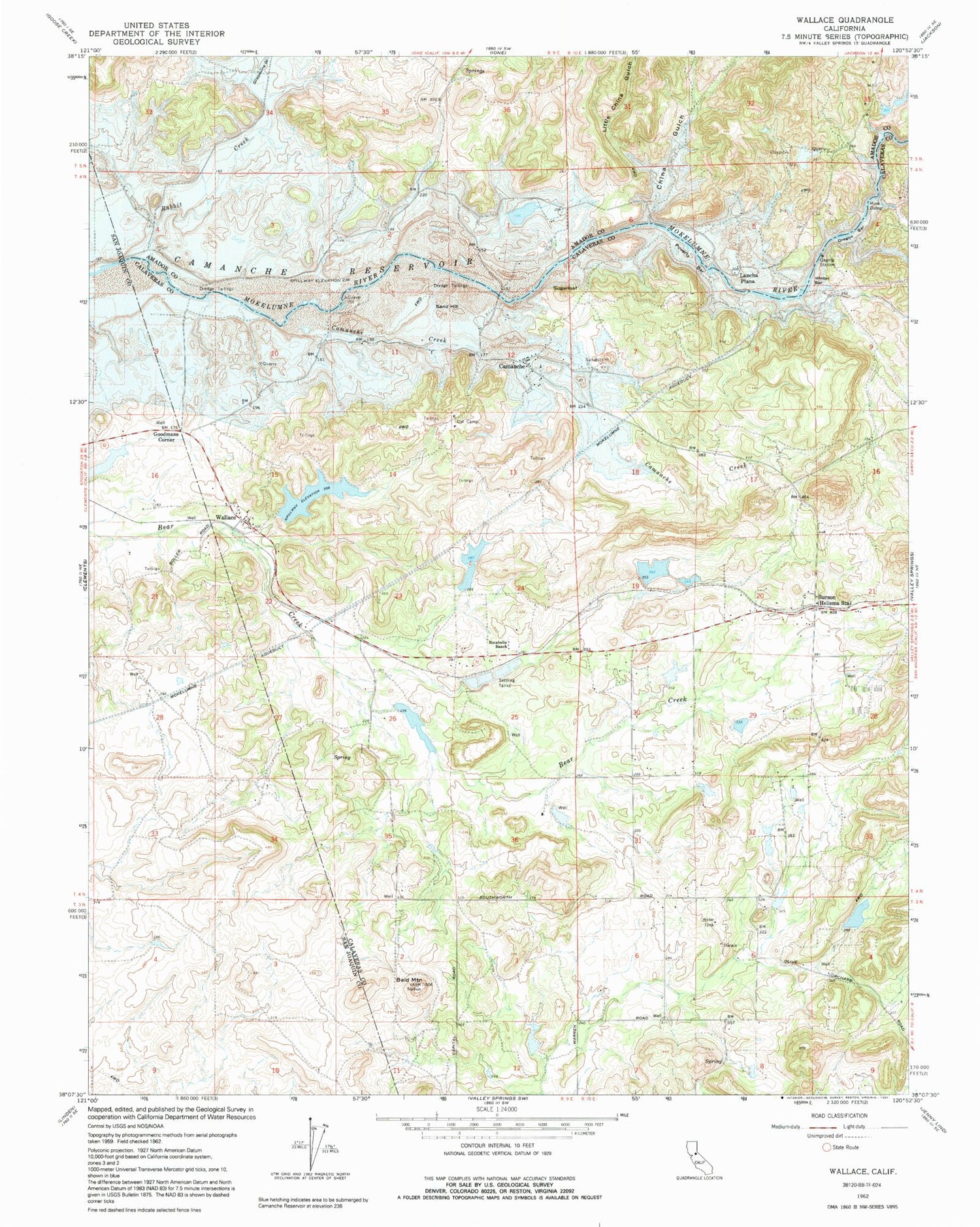
Classic USGS Wallace California 7.5'x7.5' Topo Map
Couldn't load pickup availability
Historical USGS topographic quad map of Wallace in the state of California. Typical map scale is 1:24,000, but may vary for certain years, if available. Print size: 24" x 27"
This quadrangle is in the following counties: Amador, Calaveras, San Joaquin.
The map contains contour lines, roads, rivers, towns, and lakes. Printed on high-quality waterproof paper with UV fade-resistant inks, and shipped rolled.
Contains the following named places: Oregon Bar, Bald Mountain, Camanche Creek, Cat Camp, China Gulch, Little China Gulch, Rabbit Creek, Rocabella Ranch, Sugarloaf, Goodmans Corner, Lancha Plana (historical), Poverty Bar, Sand Hill (historical), Winter Bar, Camanche Reservoir, Camanche (historical), Burson, Wallace, Bevanda 495 Dam, Ferrario 506 Dam, Hein 1491 Dam, Mine Run 31-032 Dam, Evergreen School (historical), Burson Post Office, Lake Camanche Ranches, South Camanche Shore, Wallace Census Designated Place, Camanche North Shore Census Designated Place, Jackson Valley Fire Protection District Station 171, Foothill Fire Protection District Station 1 Headquarters, Wallace Post Office


