MyTopo
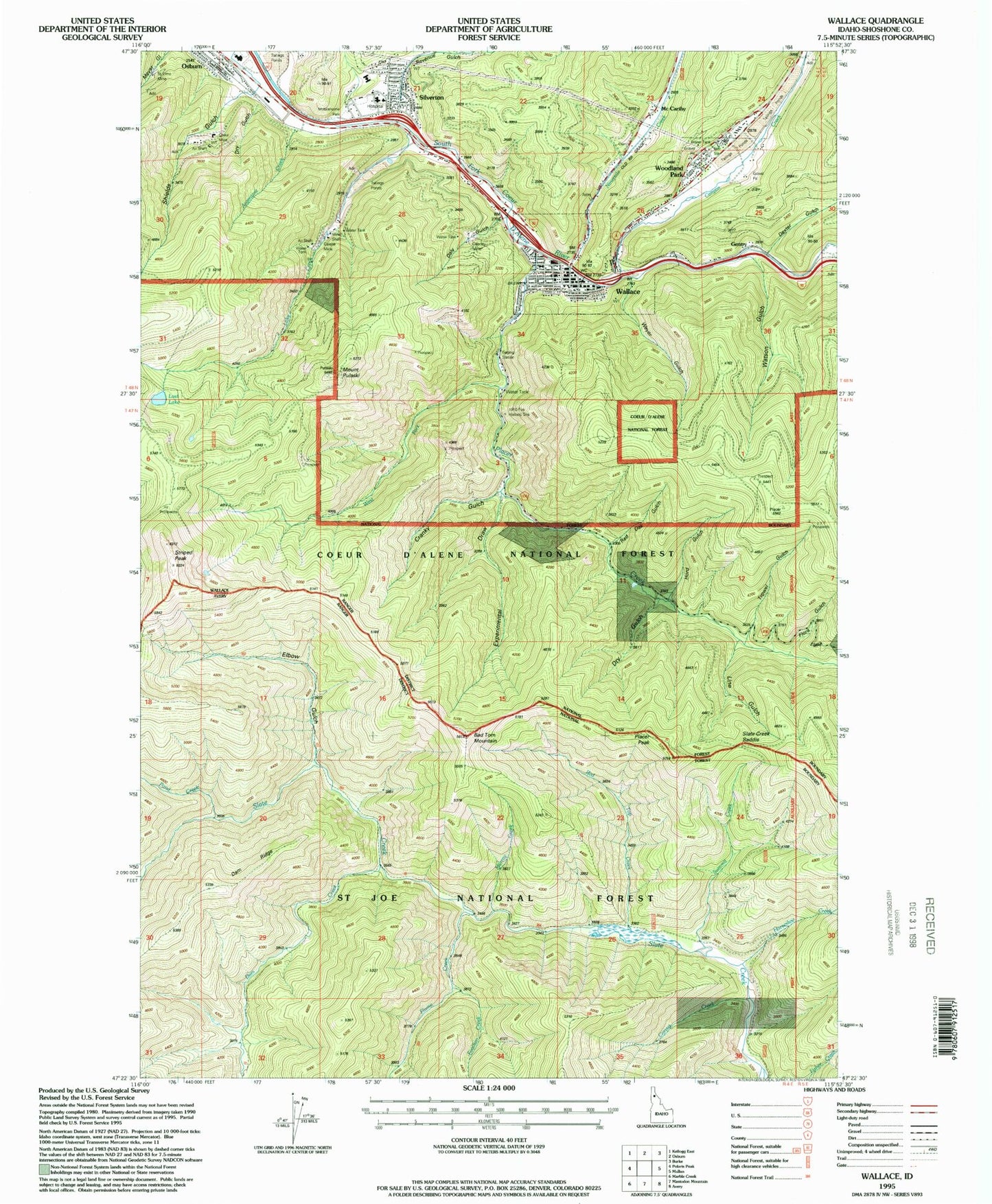
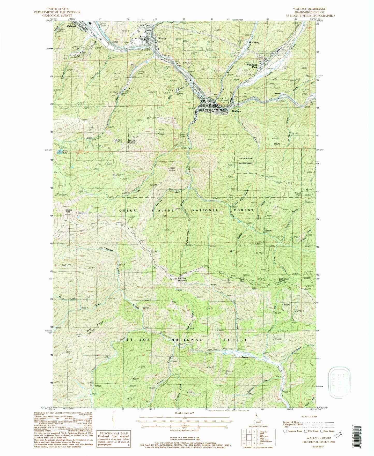
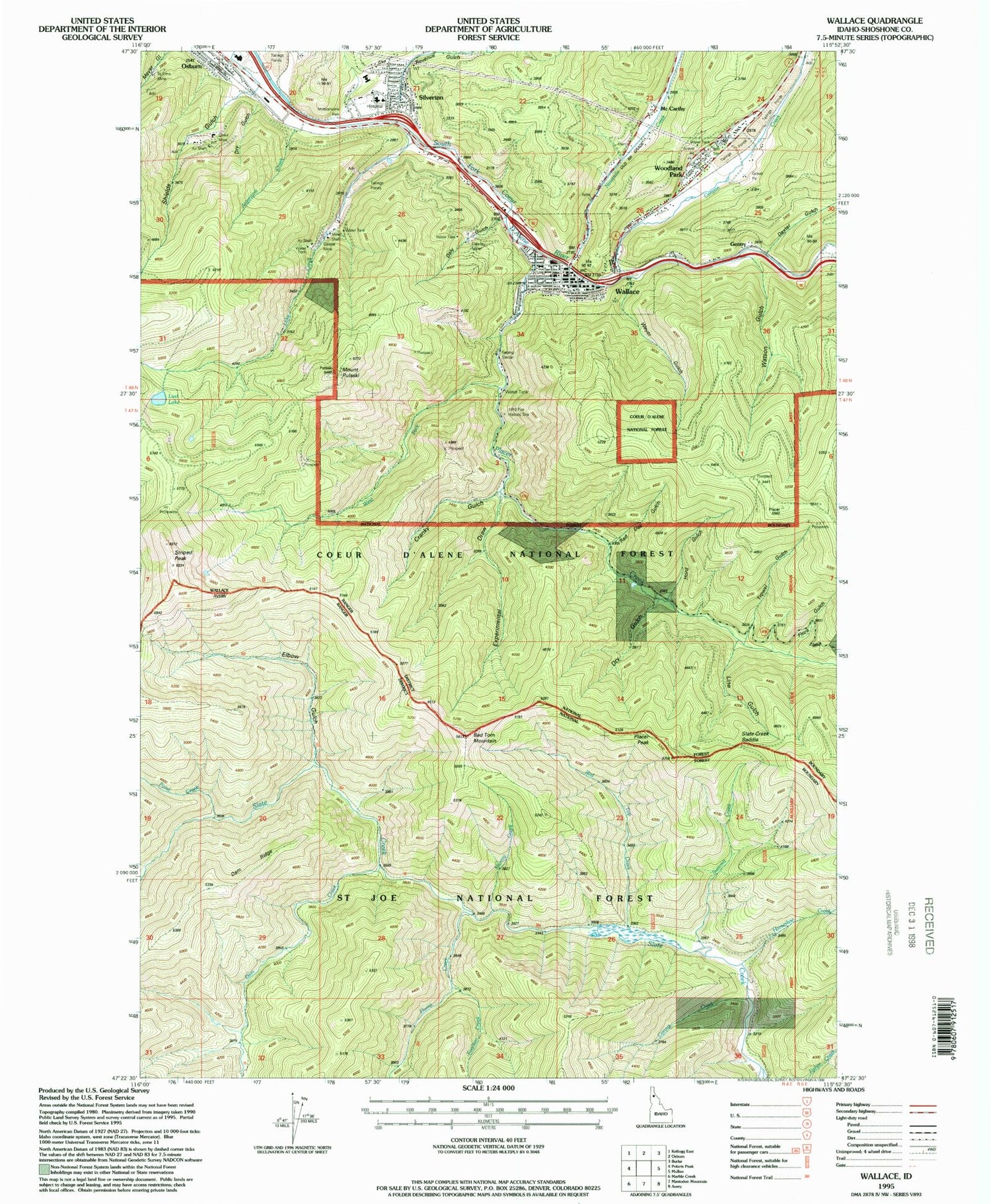
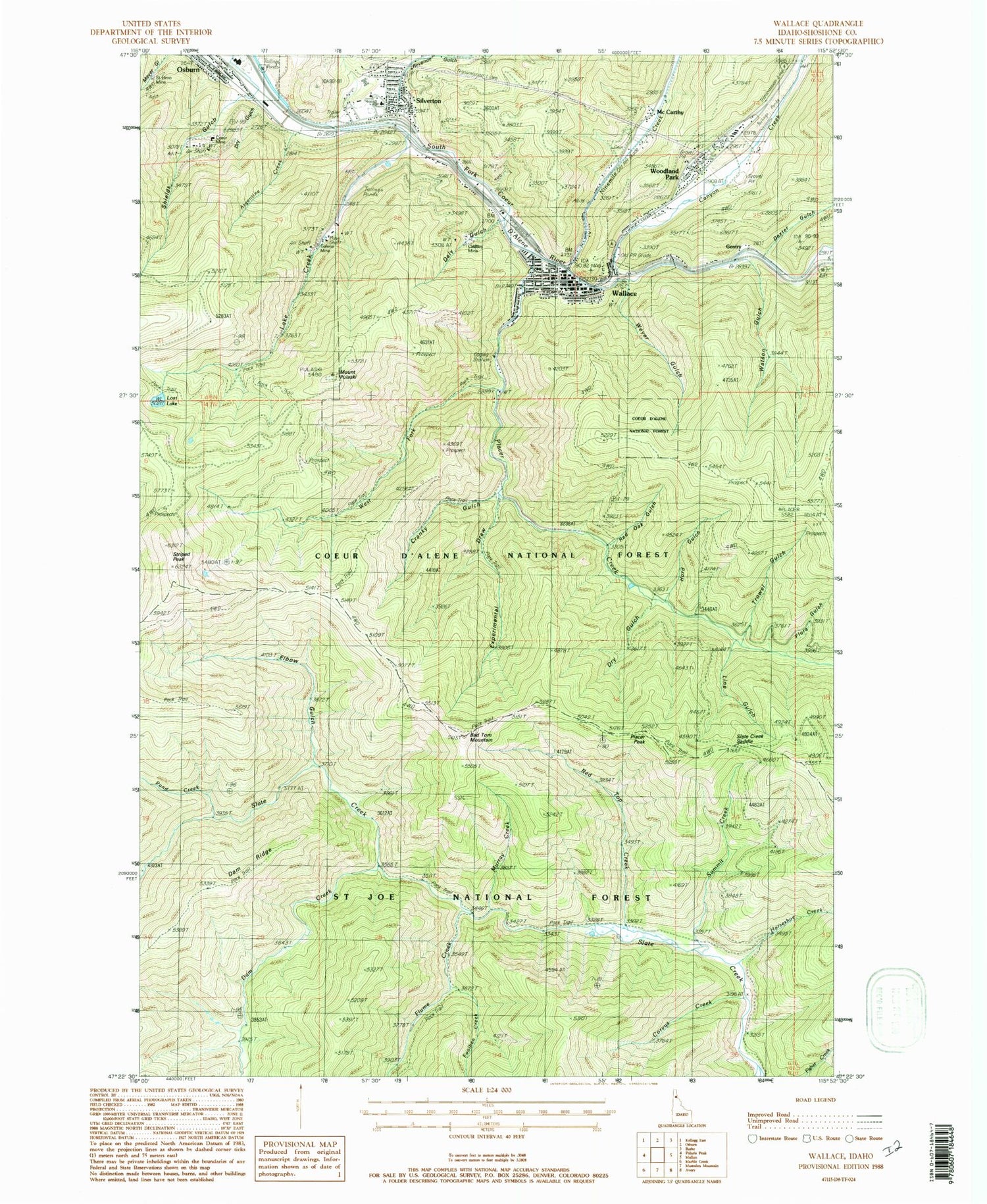
Classic USGS Wallace Idaho 7.5'x7.5' Topo Map
Couldn't load pickup availability
Historical USGS topographic quad map of Wallace in the state of Idaho. Map scale may vary for some years, but is generally around 1:24,000. Print size is approximately 24" x 27"
This quadrangle is in the following counties: Shoshone.
The map contains contour lines, roads, rivers, towns, and lakes. Printed on high-quality waterproof paper with UV fade-resistant inks, and shipped rolled.
Contains the following named places: Argentine Creek, Argentine Mine, Bad Tom Mountain, Bad Tom Trail, Canyon Creek, City of Wallace, Corvus Creek, Cranky Gulch, Daly Gulch, Dam Creek, Dam Ridge, Dexter Gulch, Dry Gulch, Elbow Gulch, Elmo Mine, Experimental Draw, Flora Gulch, Flume Creek, Foolhen Creek, Galena Mill Number One-Upper Dam, Galena Mill Number Three-Lower Dam, Galena Mill Number Two-Middle Dam, Galena Mine, Gentry, Hord Gulch, Horseshoe Creek, Lake Creek, Line Gulch, Lost Lake, McCarthy, Miners Union Cemetery, Mount Pulaski, Murray Creek, Nine Mile Cemetery, Ninemile Creek, Osborn Tailings Dam, Placer Creek, Placer Peak, Pond Creek, Red Oak Gulch, Red Top Creek, Revenue Gulch, Shields Gulch, Shoshone County Fire District 1, Shoshone County Sheriff's Office, Silver Hills Elementary School, Silver Valley High School, Silverton, Silverton Census Designated Place, Silverton Post Office, Slate Creek Cabin, Slate Creek Recreation Site, Slate Creek Saddle, Star Tailings Number Five Dam, Star Tailings Number Four Dam, Star Tailings Number One Dam, Star Tailings Number Six Dam, Star Tailings Number Three Dam, Star Tailings Number Two Dam, Striped Peak, Summit Creek, Trowel Gulch, Upper Slate Creek Trail, Wallace, Wallace Intermediate School, Wallace Junior - Senior High School, Wallace Police Department, Wallace Post Office, Wallace Ranger Station Heliport, Watson Gulch, Webb, West Fork Placer Creek, Weyer Gulch, Woodland Park


