MyTopo
Classic USGS Wallace Nebraska 7.5'x7.5' Topo Map
Couldn't load pickup availability
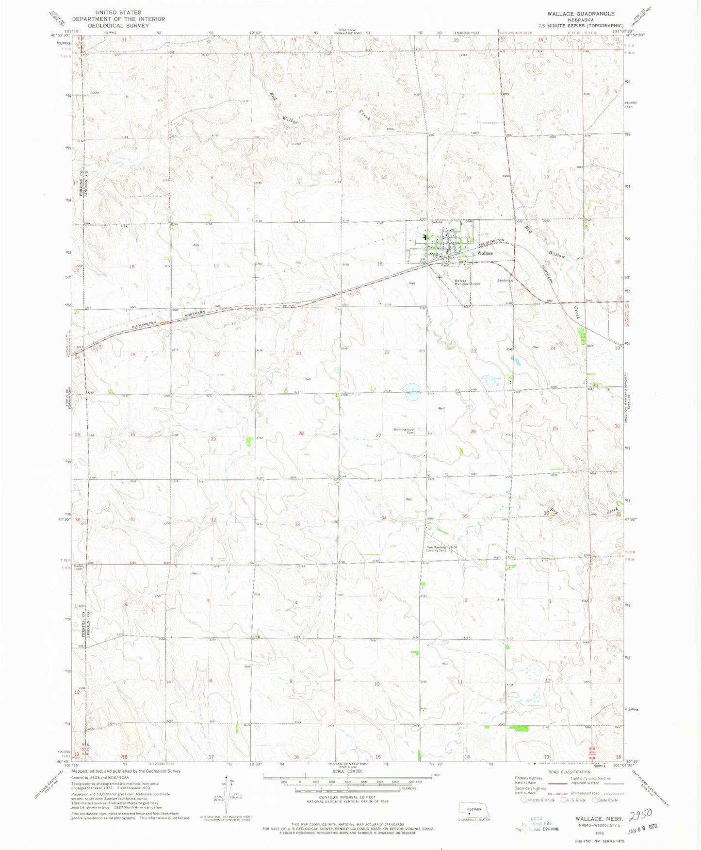
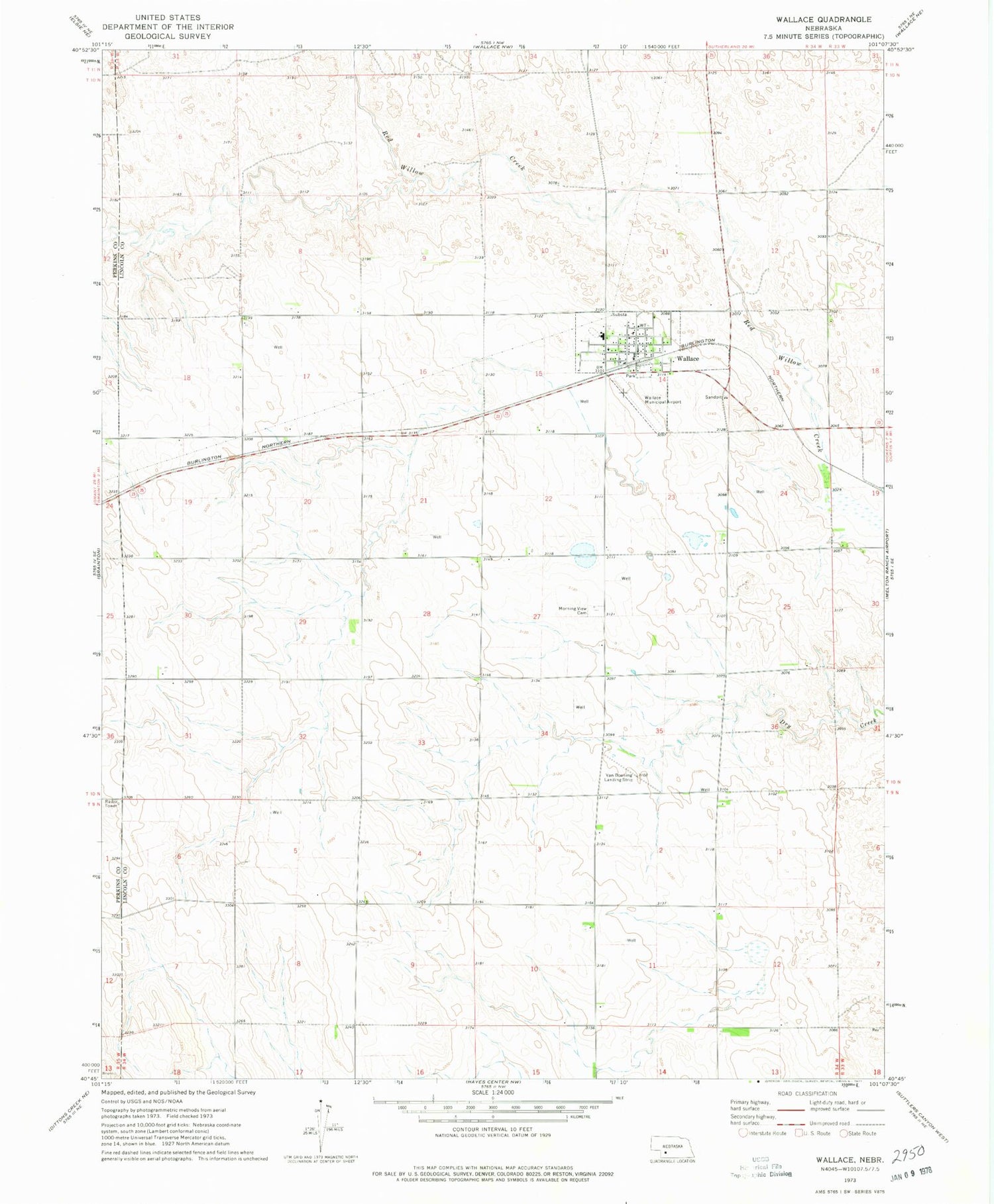
Historical USGS topographic quad map of Wallace in the state of Nebraska. Map scale may vary for some years, but is generally around 1:24,000. Print size is approximately 24" x 27"
This quadrangle is in the following counties: Lincoln, Perkins.
The map contains contour lines, roads, rivers, towns, and lakes. Printed on high-quality waterproof paper with UV fade-resistant inks, and shipped rolled.
Contains the following named places: Bartmess Airport, Faith Memorial Library, Morning View Cemetery, Saint Marys Church, Scoular Grain Company Elevator, United Methodist Church, Van Boening Airport, Village of Wallace, Wallace, Wallace Medical Clinic, Wallace Municipal Airport, Wallace Post Office, Wallace Public Schools District 65 R, Wallace Rural Fire District, ZIP Code: 69169