MyTopo
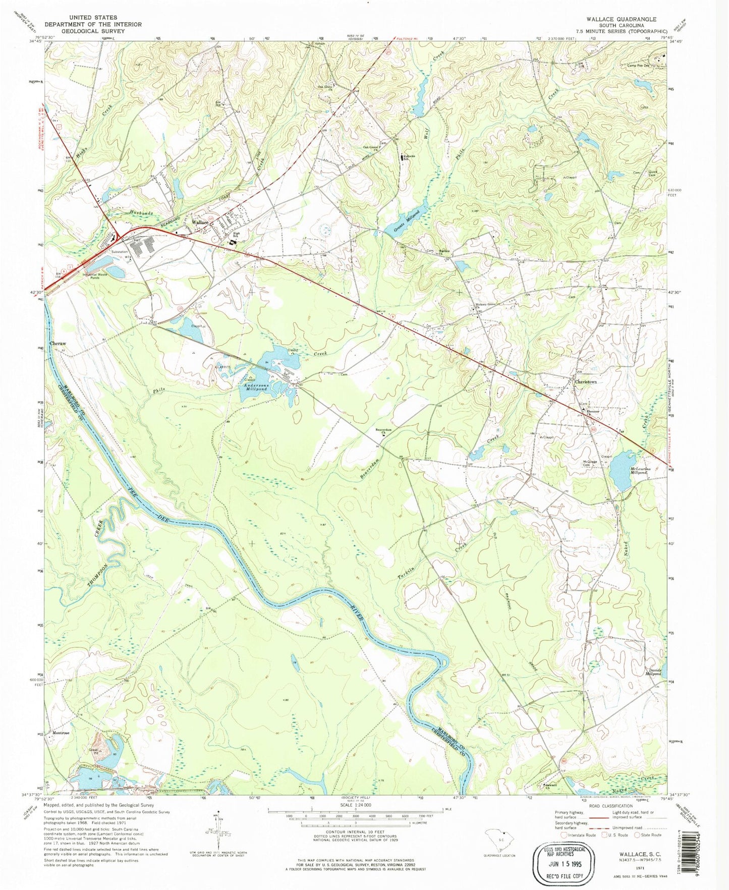
Classic USGS Wallace South Carolina 7.5'x7.5' Topo Map
Couldn't load pickup availability
Historical USGS topographic quad map of Wallace in the state of South Carolina. Map scale may vary for some years, but is generally around 1:24,000. Print size is approximately 24" x 27"
This quadrangle is in the following counties: Chesterfield, Marlboro.
The map contains contour lines, roads, rivers, towns, and lakes. Printed on high-quality waterproof paper with UV fade-resistant inks, and shipped rolled.
Contains the following named places: Andersons Millpond, Beattie Hill, Beaver Dam School, Beaverdam Church, Beaverdam Creek, Camp Pee Dee, Camp Pee Dee Pond Number One, Camp Pee Dee Pond Number One Dam D-3434, Camp Sandy Ridge Pond, Camp Sandy Ridge Pond Dam D-3433, Chavistown, Cheraw Bridge, Coulter Mission School, Cross Roads School, Doctor Mays Pond, Ebenezer Cemetery, Ebenezer Church, Ebenezer School, Everetts, Girl Scout Pond, Grants Mill, Grants Mill Pond Dam D-3429, Grants Millpond, Hickory Grove Church, Hickson, Irby, Irby School, J E Powe Pond, J P Stevens Pond, Kollocks School, Madeline, McLaurins Mill, McLaurins Millpond, McMeekin Pond, McMeekin Pond Dam D-3430, McQuage Cemetery, Montrose, Oak Grove Church, Pegues School, Phils Creek, Pine Hill Baptist Retreat, Quick Cemetery, Rollins Pond, Rollins Pond Dam D-2945, Sawmill Church, Smiths Mill, Smiths School, South Carolina Noname 35002 Dam, South Carolina Noname 35003 D-3411 Dam, South Carolina Noname 35017 D-3428 Dam, South Carolina Noname 35020 D-3432 Dam, South Carolina Noname 35024 D-2946 Dam, South Carolina Noname 35039 D-3461 Dam, Tarkiln Creek, Thompson Creek, Wallace, Wallace Census Designated Place, Wallace Church, Wallace Division, Wallace Elementary School, Wallace Fire Department Smithville, Wallace Fire Department Wallace, Wallace Middle School, Wallace Rescue Squad, White Creek Church, White Oak Cemetery, Wilson School, Wolf Creek, ZIP Code: 29596


