MyTopo
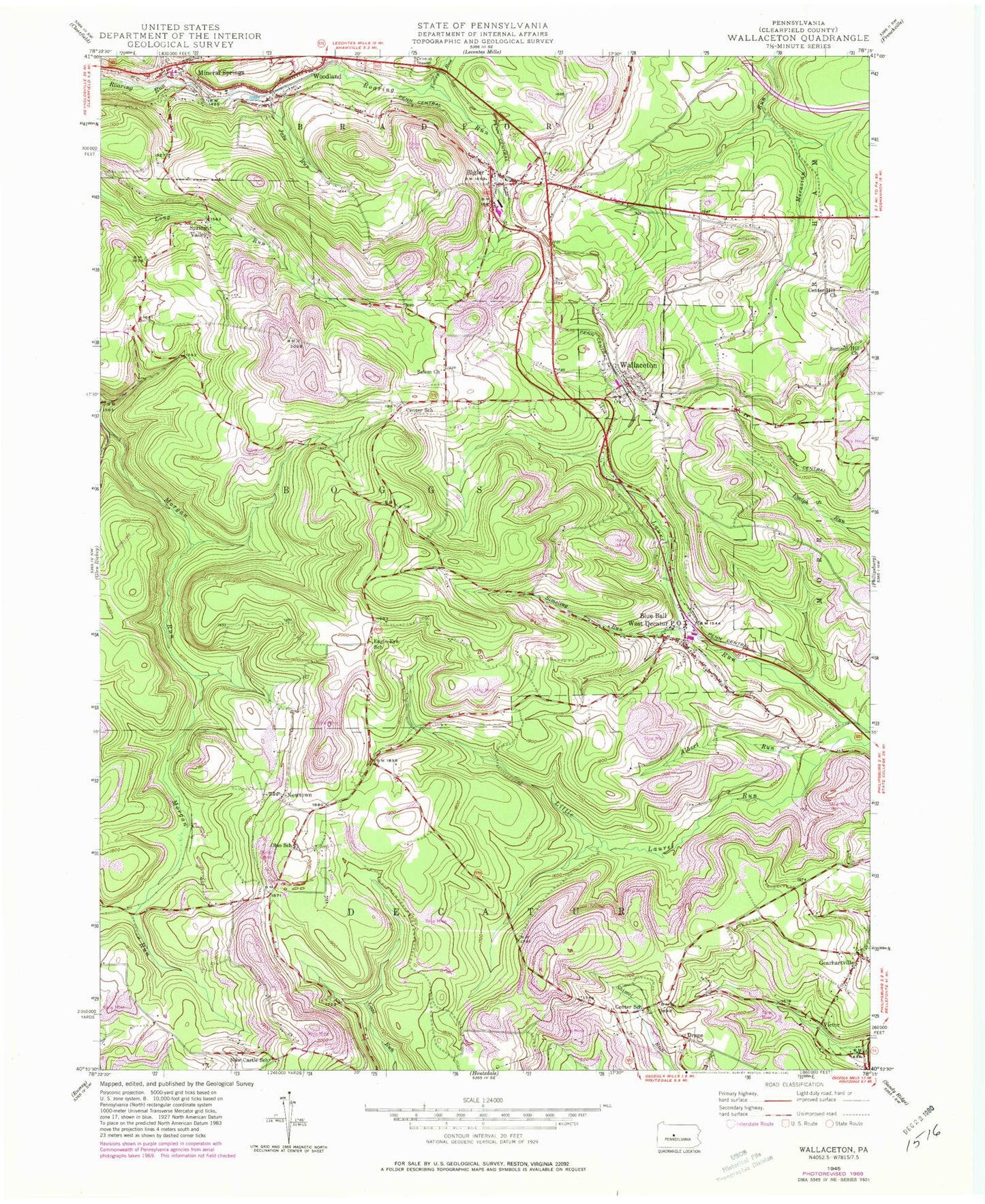
Classic USGS Wallaceton Pennsylvania 7.5'x7.5' Topo Map
Couldn't load pickup availability
Historical USGS topographic quad map of Wallaceton in the state of Pennsylvania. Map scale may vary for some years, but is generally around 1:24,000. Print size is approximately 24" x 27"
This quadrangle is in the following counties: Clearfield.
The map contains contour lines, roads, rivers, towns, and lakes. Printed on high-quality waterproof paper with UV fade-resistant inks, and shipped rolled.
Contains the following named places: ACCI Heliport, Albert Run, Baughman Cemetery, Bigler, Bigler Cemetery, Bigler Census Designated Place, Bigler Jackson Woodland Volunteer Fire Company Station 16, Bigler Post Office, Blue Ball, Blue Ball School, Borough of Wallaceton, Bradford Elementary School, Bradford Refinery Mine Station, Burly, Butterworth Grove Free Methodist Church, Center Hill Cemetery, Center Hill Church, Center School, Centre United Methodist Cemetery, Centre United Methodist Church, Decaturville, Drane, Eagle Eye School, Forcey Run, Frans Airport, Gearhartville, Goss Cemetery, House of Prayer Church, Jake Run, Lake Street United Methodist Church, Mineral Springs, Mineral Springs Post Office, Mokes Hill Cemetery, Morgan Run, New Castle, New Castle School, New Castle United Methodist Church, New Liberty, Newtown, Oak Grove United Methodist Church, Ohio School, Ohio United Methodist Church, Pine Top, Reidy Cemetery, Salem Church, Simeling Run, Singleton, Spring Valley, Spring Valley Cemetery, State Game Lands Number 98, Summit Hill Cemetery, Summit Hill Church, Township of Boggs, Township of Decatur, Valley Fork Run, Van Mine Station, Victor, Wallaceton, Wallaceton Boggs Elementary School, Wallaceton Post Office, Wallaceton Volunteer Fire Company Station 15, West Decatur, West Decatur Census Designated Place, West Decatur Post Office, Woodland, ZIP Codes: 16666, 16825, 16876, 16878


