MyTopo
Classic USGS Wallowa Oregon 7.5'x7.5' Topo Map
Couldn't load pickup availability
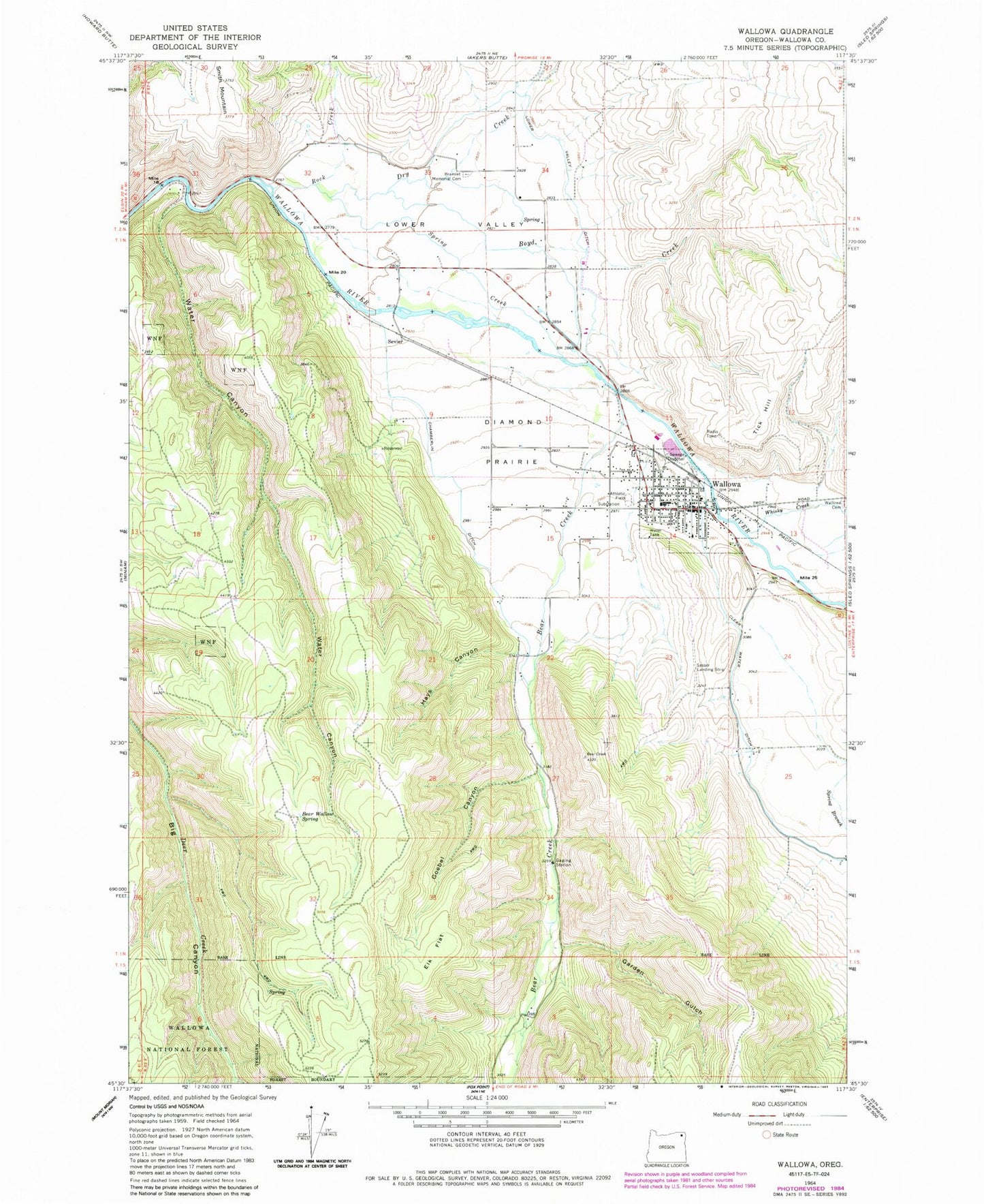
Historical USGS topographic quad map of Wallowa in the state of Oregon. Map scale may vary for some years, but is generally around 1:24,000. Print size is approximately 24" x 27"
This quadrangle is in the following counties: Wallowa.
The map contains contour lines, roads, rivers, towns, and lakes. Printed on high-quality waterproof paper with UV fade-resistant inks, and shipped rolled.
Contains the following named places: Bear Creek, Bear Wallow Spring, Boyd Creek, Bramlet Memorial Cemetery, Chamberlin Ditch, City of Wallowa, Clear Water Ditch, Diamond Prairie, Dry Creek, Elk Flat, Evans Park, Garden Gulch, Goebel Canyon, Hays Canyon, Joseph Sewage Treatment Plant, Lower Valley, Lower Valley Ditch, Maxwell Pond, Rock Creek, Sage Creek, Sasser Landing Strip, Sevier, Shell Creek, Spring Creek, Tick Hill, Wade, Wallowa, Wallowa Cemetery, Wallowa City Hall, Wallowa Division, Wallowa Elementary School, Wallowa Fire Department, Wallowa Forest Service Station, Wallowa Post Office, Wallowa Public Library, Wallowa Public Works Department Shop and Office, Water Canyon, Whisky Creek


