MyTopo
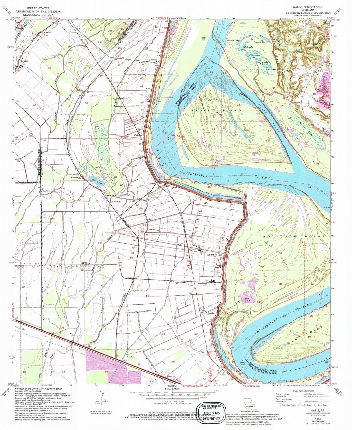
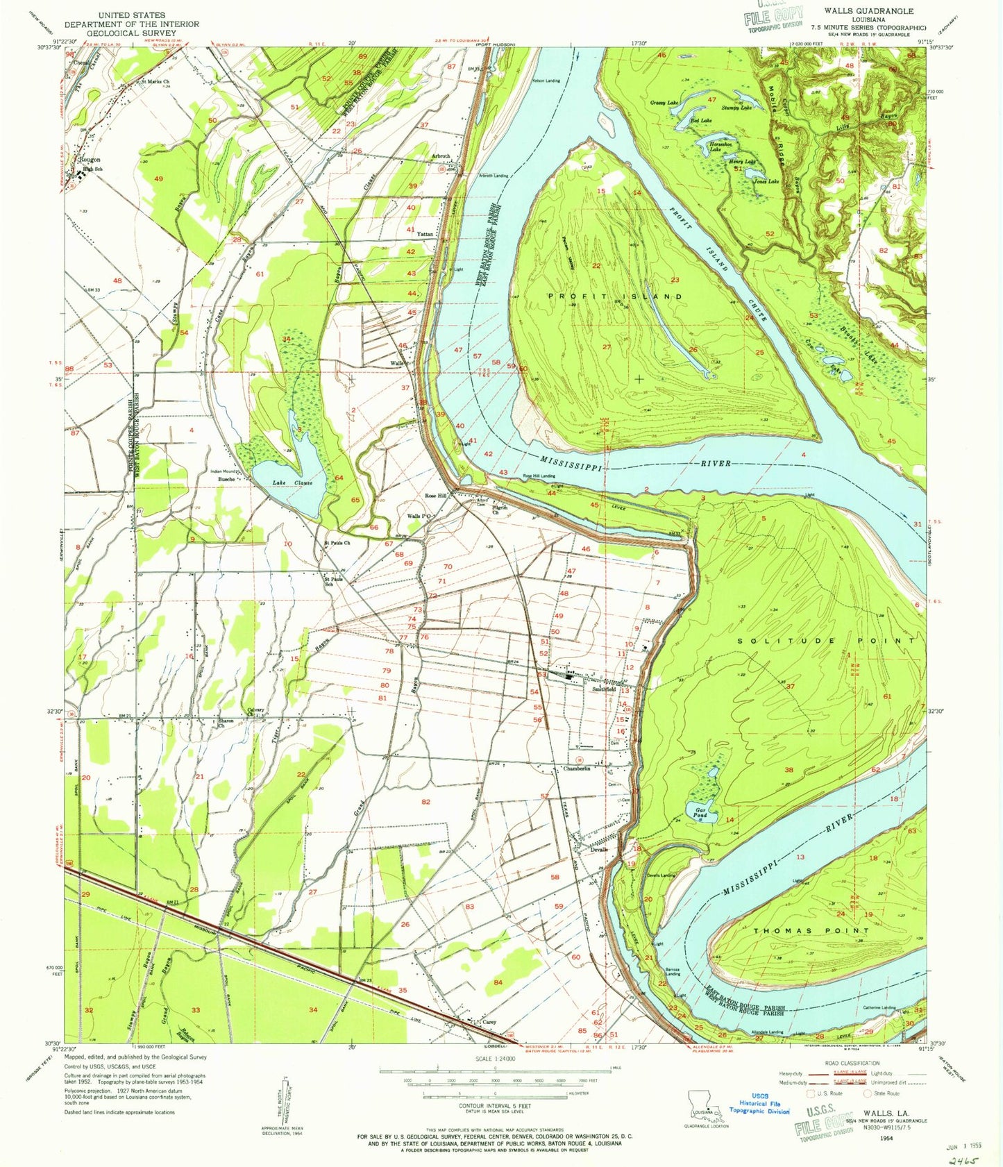
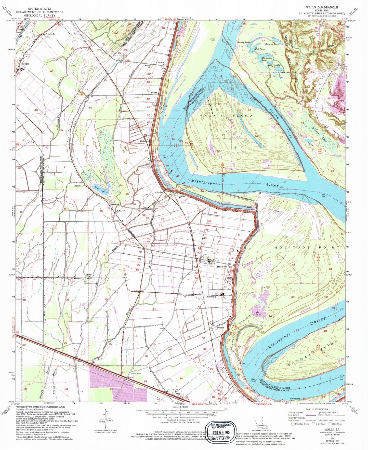
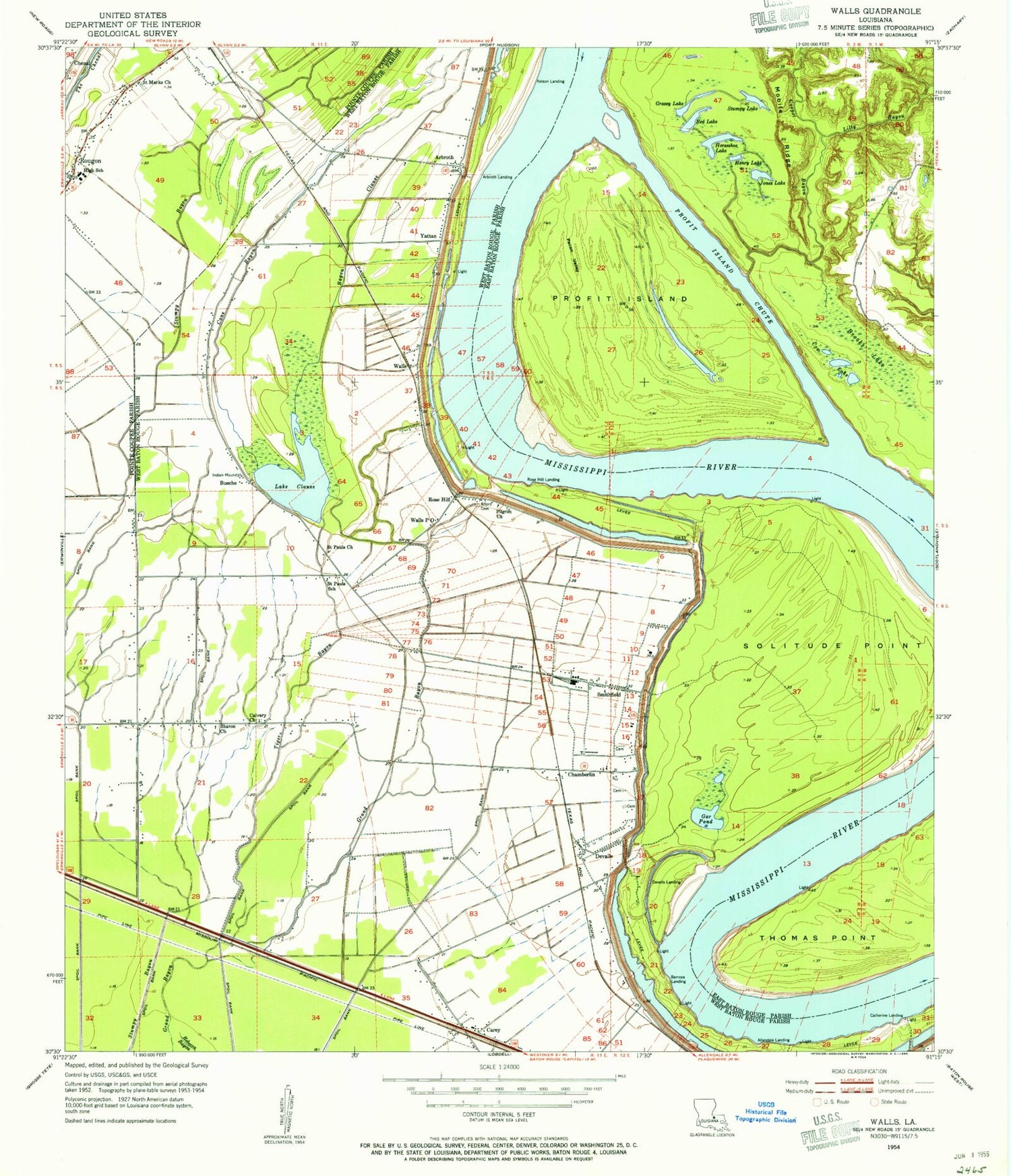
Classic USGS Walls Louisiana 7.5'x7.5' Topo Map
Couldn't load pickup availability
Historical USGS topographic quad map of Walls in the state of Louisiana. Map scale may vary for some years, but is generally around 1:24,000. Print size is approximately 24" x 27"
This quadrangle is in the following counties: East Baton Rouge, Pointe Coupee, West Baton Rouge.
The map contains contour lines, roads, rivers, towns, and lakes. Printed on high-quality waterproof paper with UV fade-resistant inks, and shipped rolled.
Contains the following named places: Alford Cemetery, Alfords, Allen Landing, Allendale Revetment, Arbroth, Arbroth Landing, Arbroth Revetment, Ashland Plantation, Barroza, Barroza Landing, Batture Plantation, Bayou Clause, Brooks Lake, Bueche, Bueche Church, Bueche Post Office, Calvary Church, Camp Plantation, Cane Bayou, Carey, Catherine Landing, Chamberlin, Chamberlin Elementary School, Clarkland Plantation, Cooper Bayou, Cow Lake, Devall Middle School, Devalls, Gar Pond, Glynnwood Plantation, Grassy Lake, Grossman Landing, Henry Lake, Highland Plantation Landing, Horseshoe Lake, Jones Lake, Kelson Landing, Lake Clause, Lilly Bayou, Lobdell Landing, Lobdells Plantation, Mallet Bend, Mobile Ridge, Mount Zion Church, New Life Apostolic Church, Omni Airport, Orange Grove Plantation, Parish Governing Authority District 4, Parish Governing Authority District 7, Pecan Valley, Pilgrim Church, Pointe Coupee Parish Library Julian Poydras Branch, Profit Island, Profit Island Chute, Profit Island Gas Field, Rebecca Bayou Gas Field, Rebecca Bayou Oil Field, Red Lake, Rose Hill, Rose Hill Landing, Rosehill Volunteer Fire Department Station 2, Rougon, Rougon Elementary School, Rougon High School, Rougon Post Office, Saint Marks Church, Saint Pauls Church, Sharon Church, Smithfield, Smithfield Plantation, Solitude Point, Stumpy Lake, Thomas Point, Tiger Bayou, Tiny Tot Head Start Center School, Walls, Ward Five, Ward Six, Yattan, Zion Traveler Church, ZIP Codes: 70729, 70773


