MyTopo
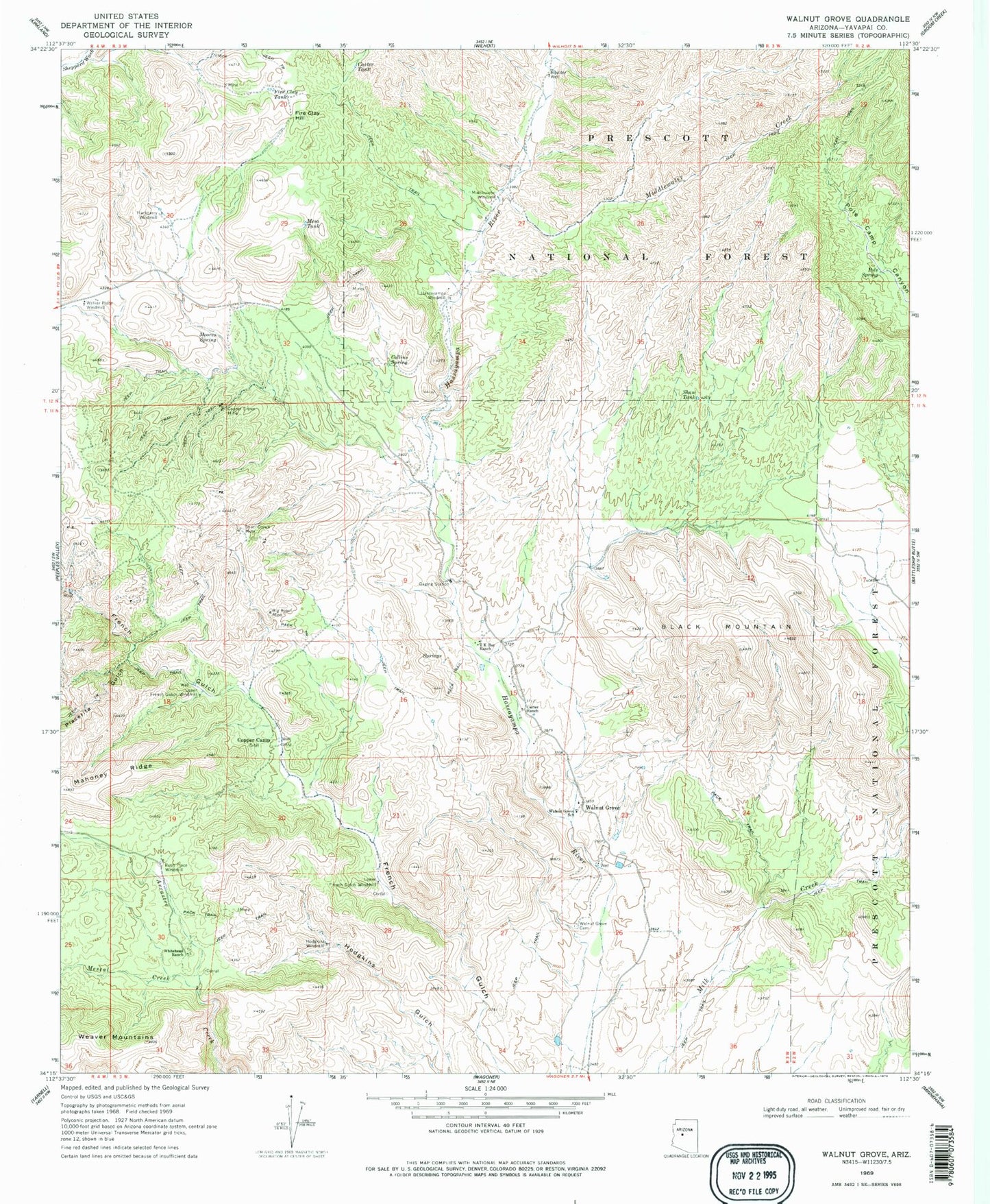
Classic USGS Walnut Grove Arizona 7.5'x7.5' Topo Map
Couldn't load pickup availability
Historical USGS topographic quad map of Walnut Grove in the state of Arizona. Typical map scale is 1:24,000, but may vary for certain years, if available. Print size: 24" x 27"
This quadrangle is in the following counties: Yavapai.
The map contains contour lines, roads, rivers, towns, and lakes. Printed on high-quality waterproof paper with UV fade-resistant inks, and shipped rolled.
Contains the following named places: Big Rebel Mine, Black Mountain, Boulder Well, Carter Ranch, Carter Tank, Collins Spring, Copper Camp, Copper Crown Mine, Fire Clay Hill, Fire Clay Tank, Hackberry Windmill, Hassayampa Windmill, Hodgkins Windmill, Lower French Gulch Windmill, Mahoney Ridge, Mesa Tank, Mescal Creek, Middlewater Creek, Middlewater Windmill, Moores Spring, Placerita Gulch, Pole Spring, Rush Place Windmill, Shaw Tank, Silver Crown Mine, T K Bar Ranch, Upper French Gulch Windmill, Walker Place Windmill, Walnut Grove, Walnut Grove Cemetery, Walnut Grove School, Whitehead Ranch, Miners Tank, Seep Spring, Big Bug Mountains (historical), River Pasture


