MyTopo
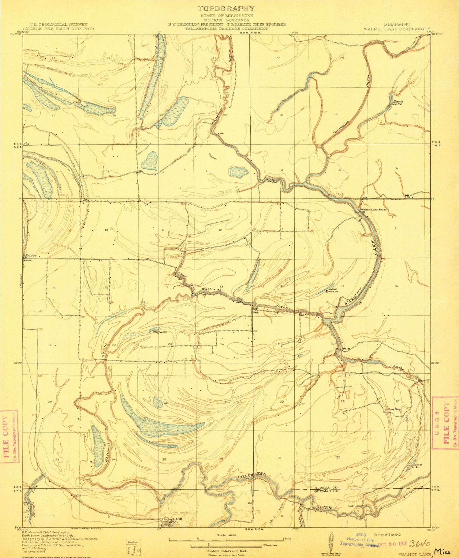
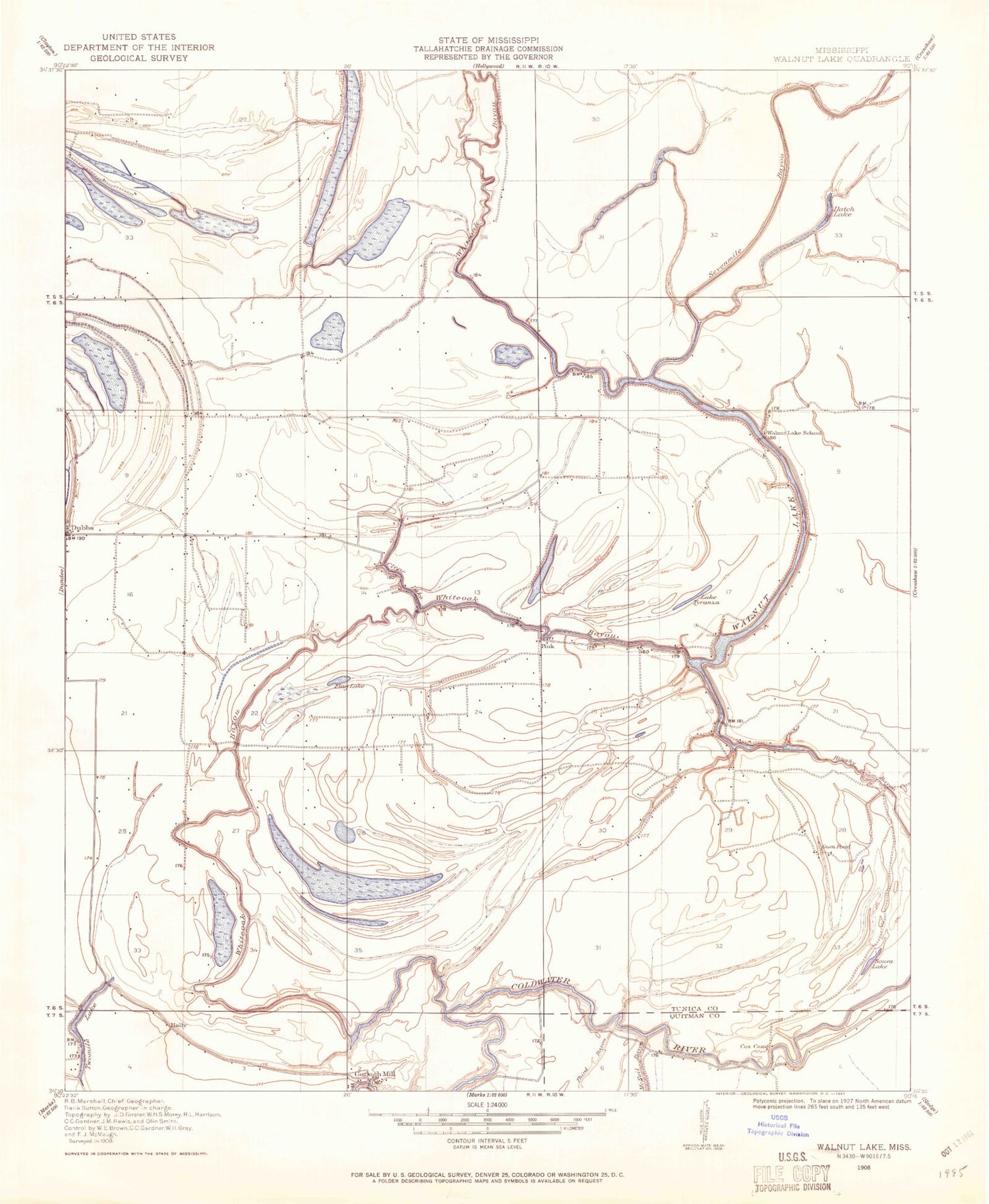
Classic USGS Walnut Lake Mississippi 7.5'x7.5' Topo Map
Couldn't load pickup availability
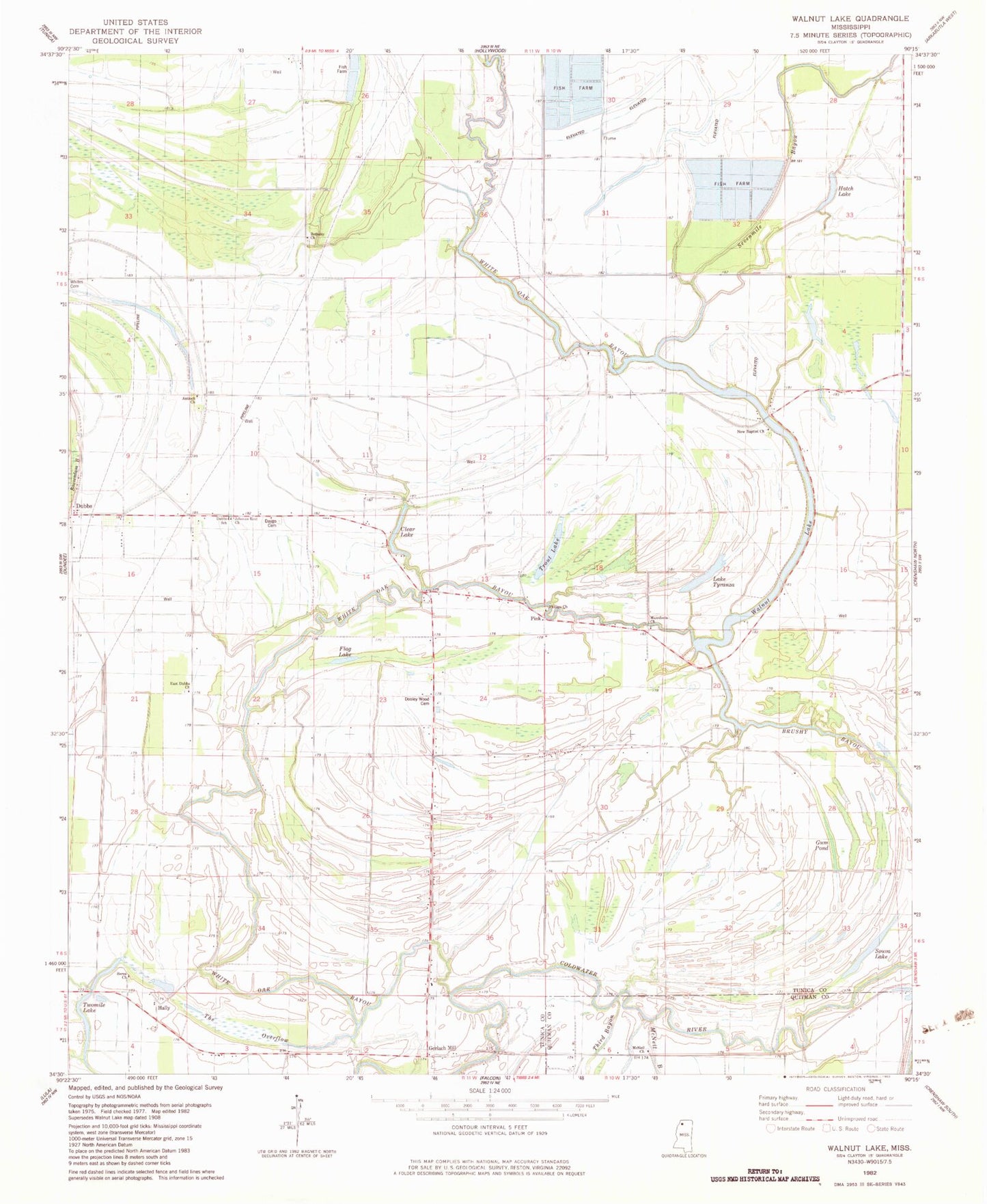
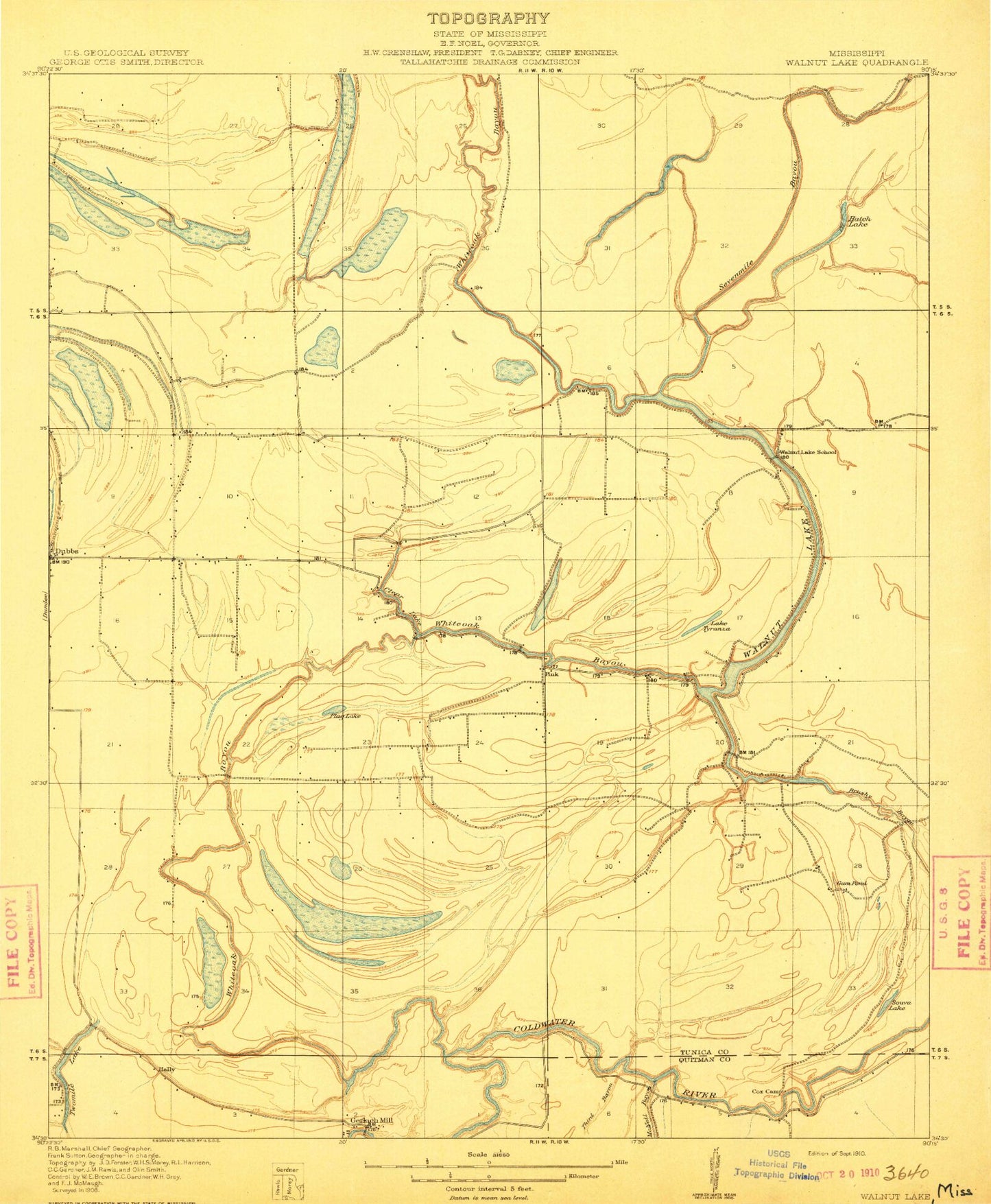
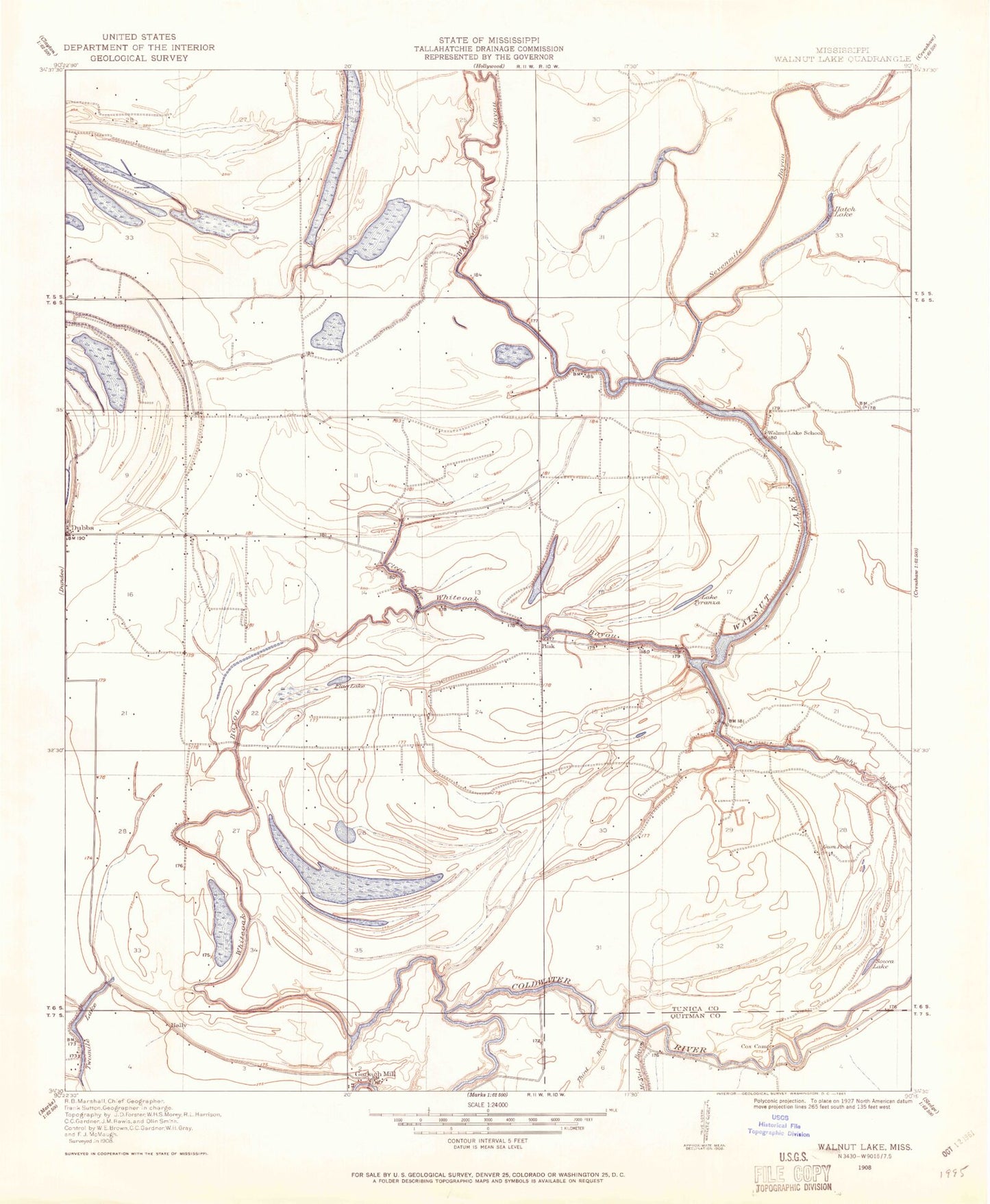
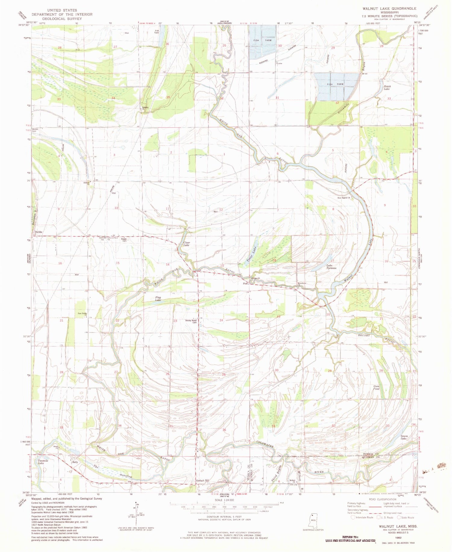
Historical USGS topographic quad map of Walnut Lake in the state of Mississippi. Map scale may vary for some years, but is generally around 1:24,000. Print size is approximately 24" x 27"
This quadrangle is in the following counties: Quitman, Tunica.
The map contains contour lines, roads, rivers, towns, and lakes. Printed on high-quality waterproof paper with UV fade-resistant inks, and shipped rolled.
Contains the following named places: Antioch Church, Berea Cemetery, Berea Church, Bethany Cemetery, Bethany Church, Bonnie Blue School, Brushy Bayou, Cannon School, Church of God Cemetery, Clear Lake, Daygo Cemetery, Dooley Wood Cemetery, Dooley Wood School, Dubbs, Dubbs School, East Dubbs Church, Flag Lake, Gerlach Mill, Gum Pond, Hally, Hatch Lake, Jehovan Rest Church, Lake Tyranza, Macedonia Church, McNeil Church, New Baptist Cemetery, New Baptist Church, Paul Battles Catfish Ponds Dam, Phillips Cemetery, Phillips Church, Pink, Pruett School, Seven Mile Bayou, Souva Lake, Thompson School, Trout Lake, Twomile Lake, Walnut Lake, White Oak Bayou, Whites Cemetery, Whites Church
