MyTopo
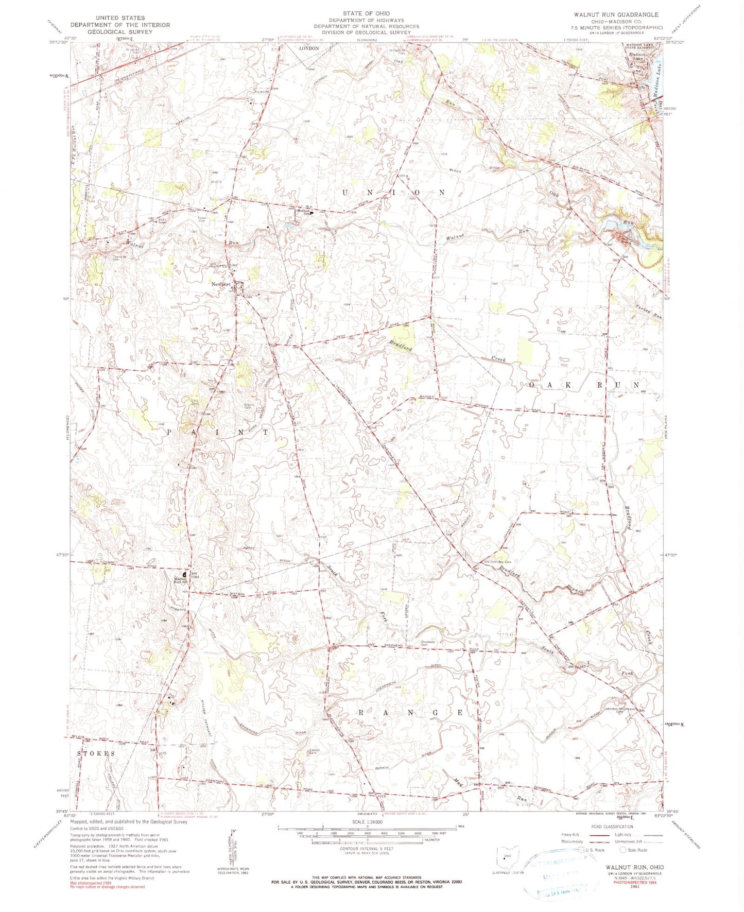
Classic USGS Walnut Run Ohio 7.5'x7.5' Topo Map
Couldn't load pickup availability
Historical USGS topographic quad map of Walnut Run in the state of Ohio. Map scale may vary for some years, but is generally around 1:24,000. Print size is approximately 24" x 27"
This quadrangle is in the following counties: Madison.
The map contains contour lines, roads, rivers, towns, and lakes. Printed on high-quality waterproof paper with UV fade-resistant inks, and shipped rolled.
Contains the following named places: Ambassador Bible Institute, Black Ditch, Bradford Branch, Burr Farms, Carson Cemetery, Central Township Fire Department Station 2, Century Two Farms, Chenoweth Ditch, Chrisman Ditch, Clearview Farm, Concord Methodist Episcopal Church, Concord School, Crawford Ditch, Dunkin Ditch, Emma Welch Ditch, Evans Cemetery, Filmore Jackson Ditch, First Church of God, Hickory Grove Golf Course, Johnston-McClimans Cemetery, Jones Ditch, Kilgore Cemetery, Kirkwood Cemetery, Madison Ditch, Madison Lake, Madison Lake Dam, Madison Lake State Reserve, Madison Rural Elementary School, Madison-Plains High School, Merri-Mac Park, Newport, Old Johnston Cemetery, Paint Township Cemetery, Pentecostal Church of Christ, Phifer Ditch, Roberts Airport, Roberts Ditch, Saint Patrick Cemetery, Seaburn Farms, Shepherd Cemetery, Sifrit Cemetery, Sugar Maple Hiking Trail, Walnut Run