MyTopo
Classic USGS Walnut Wells NE New Mexico 7.5'x7.5' Topo Map
Regular price
$16.95
Regular price
Sale price
$16.95
Unit price
per
Couldn't load pickup availability
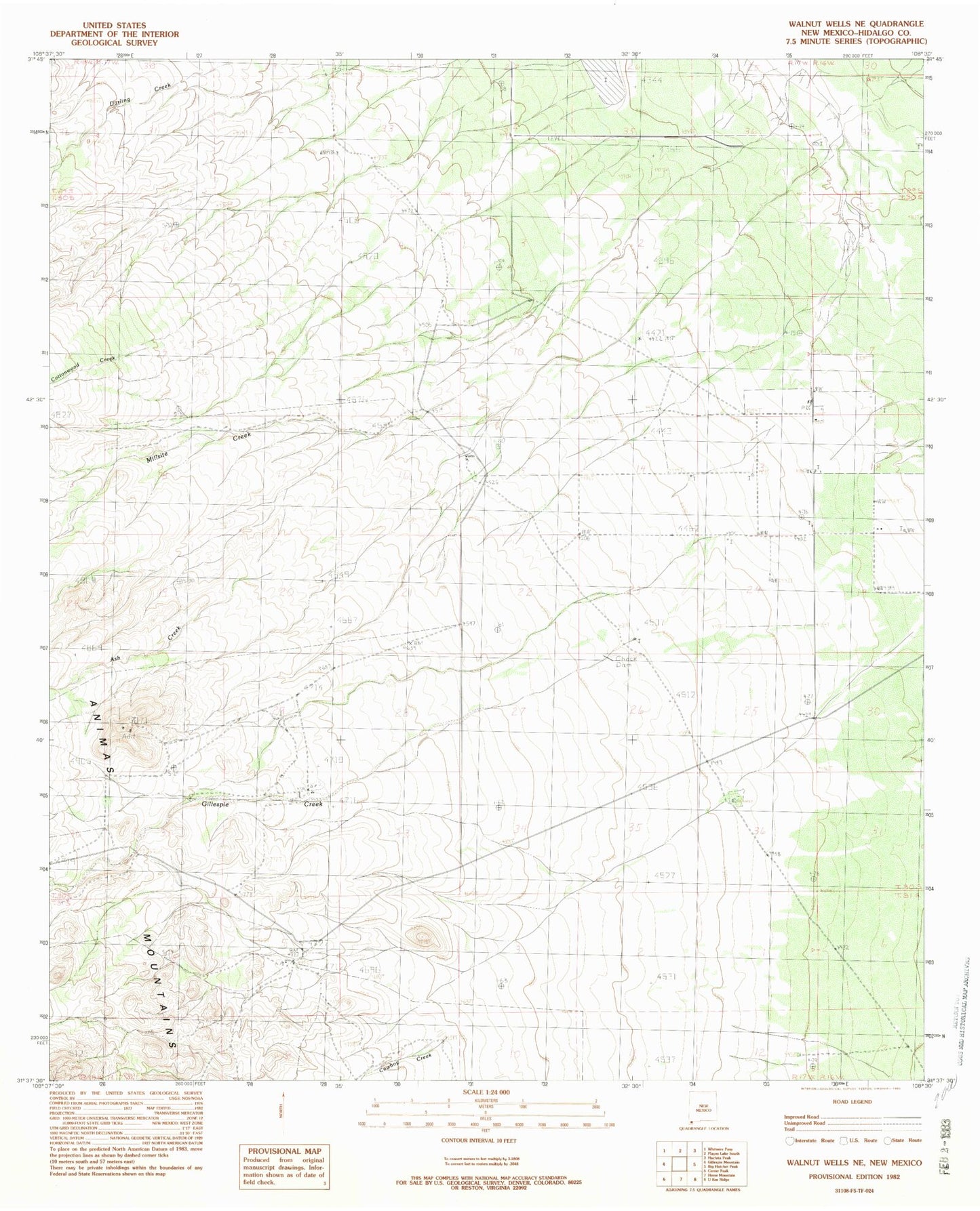
Historical USGS topographic quad map of Walnut Wells NE in the state of New Mexico. Map scale may vary for some years, but is generally around 1:24,000. Print size is approximately 24" x 27"
This quadrangle is in the following counties: Hidalgo.
The map contains contour lines, roads, rivers, towns, and lakes. Printed on high-quality waterproof paper with UV fade-resistant inks, and shipped rolled.
Contains the following named places: 10350 Water Well, Ash Creek, Bennett Creek, Cottonwood Creek, Cowboy Creek, Darling Creek, Gillespie Creek, Jacks Defeat, Lanes Ranch, Millsite Creek, Red Hill Mine, Youngs Ranch