
MyTopo
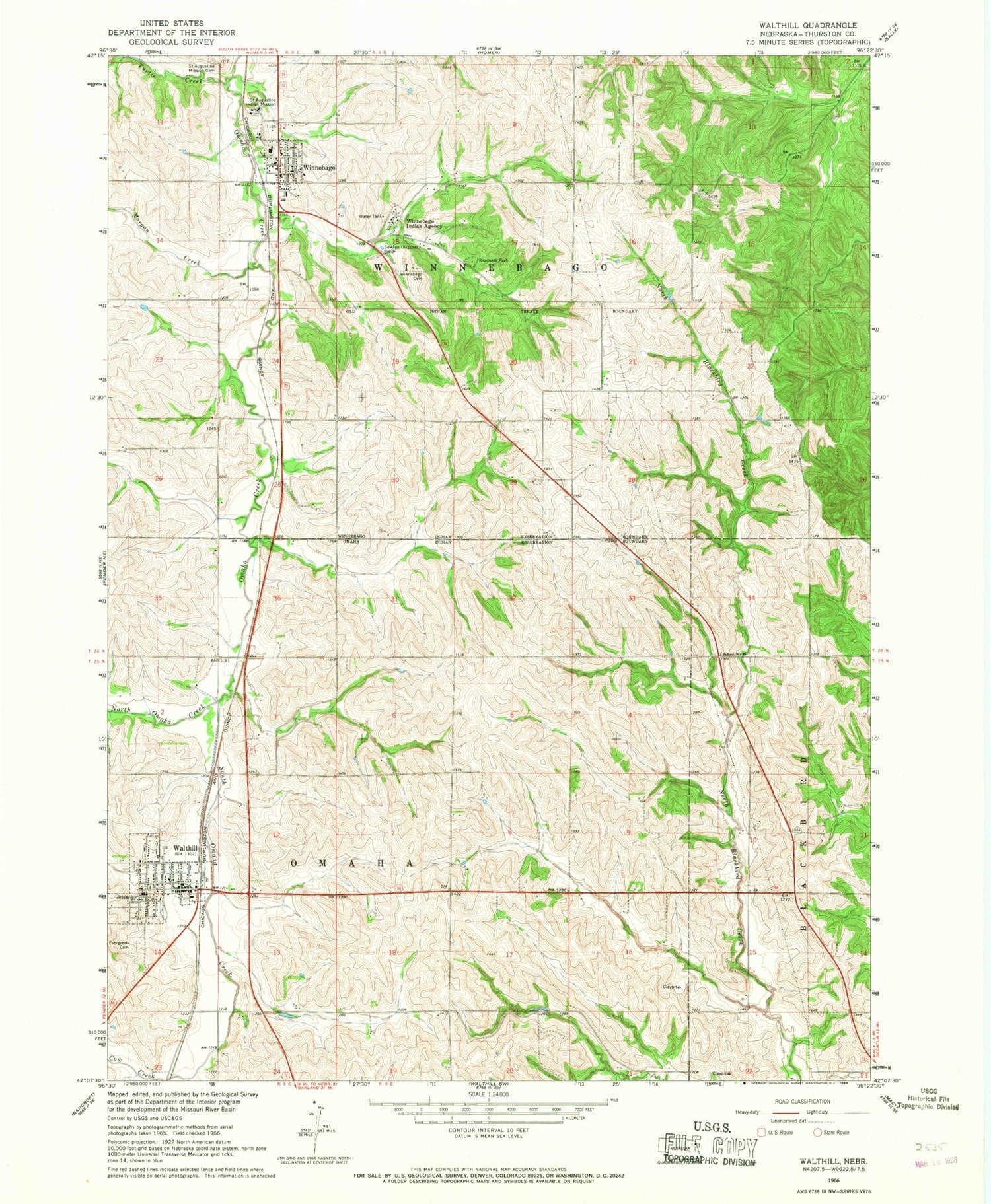
Classic USGS Walthill Nebraska 7.5'x7.5' Topo Map
Couldn't load pickup availability
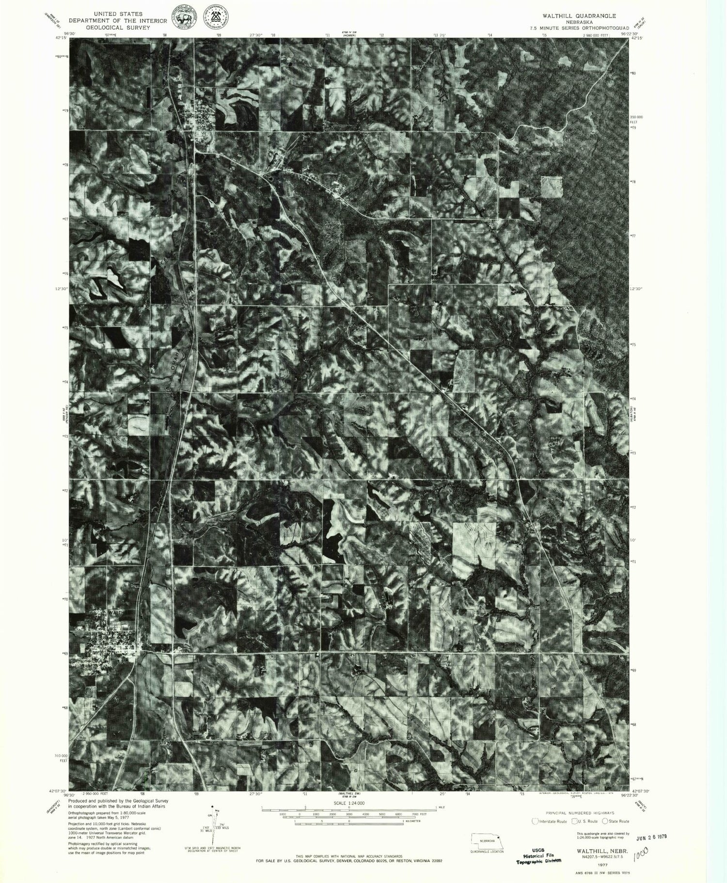
Historical USGS topographic quad map of Walthill in the state of Nebraska. Typical map scale is 1:24,000, but may vary for certain years, if available. Print size: 24" x 27"
This quadrangle is in the following counties: Thurston.
The map contains contour lines, roads, rivers, towns, and lakes. Printed on high-quality waterproof paper with UV fade-resistant inks, and shipped rolled.
Contains the following named places: Cow Creek, Evergreen Cemetery, Morgan Creek, North Omaha Creek, Saint Augustine Indian Mission, Saint Augustine Mission Cemetery, South Omaha Creek, Turtle Creek, Walthill, Winnebago, Winnebago Cemetery, Winnebago Indian Agency, School Number 35, Township of Omaha, Township of Winnebago, Walthill Rural Fire and Rescue Protection, Walthill Post Office, Susan LaFlesche Picotte Memorial Hospital Historical Marker, Assembly of God Church, Faith United Presbyterian Church, Saint Josephs Catholic Church, First United Methodist Church, Reorganized Church of Jesus Christ of Latter Day Saints, Trinity Lutheran Church, Doctor Susan LaFlesche Picotte Center, Walthill Public Library, Winnebago Post Office, Winnebago Dental Clinic, Winnebago Volunteer Fire Department, Winnebago Hospital, Winnebago Pow Wow Grounds, Winnebago Reformed Church, Little Priest Tribal College Library, Veterans Park, Winnebago, Saint Augustine Catholic Church, Saint Augustine Elementary School, Winnebago Public Schools, Winnebago Scouts Historical Marker, Walthill Public Schools, Walthill, Village of Winnebago, Village of Walthill, Winnebago Tribal Rescue and Ambulance, Winnebago Police Department


