MyTopo
Classic USGS Walton East New York 7.5'x7.5' Topo Map
Couldn't load pickup availability
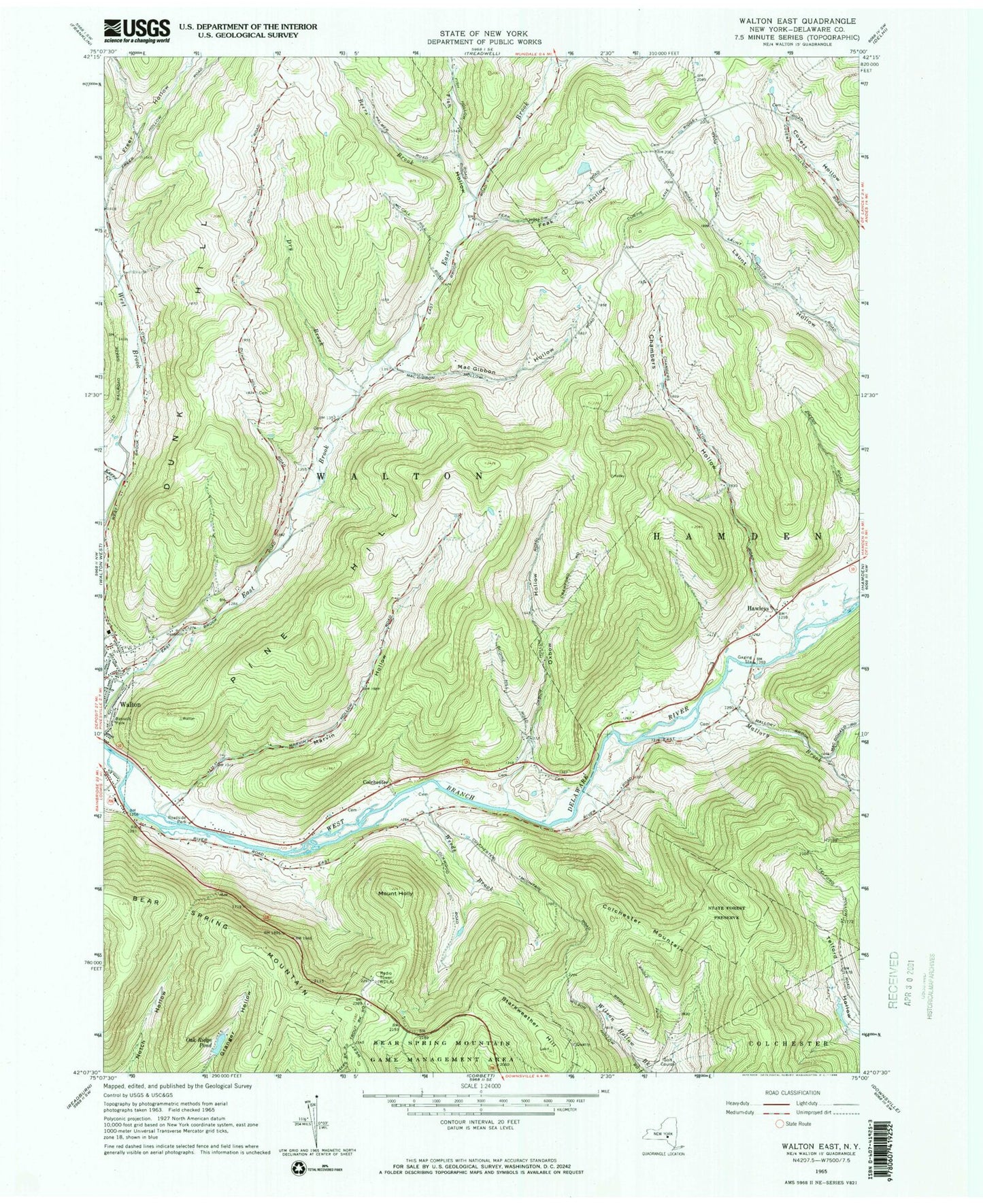
Historical USGS topographic quad map of Walton East in the state of New York. Typical map scale is 1:24,000, but may vary for certain years, if available. Print size: 24" x 27"
This quadrangle is in the following counties: Delaware.
The map contains contour lines, roads, rivers, towns, and lakes. Printed on high-quality waterproof paper with UV fade-resistant inks, and shipped rolled.
Contains the following named places: Bassett Park, Bear Spring Mountain, Beers Brook, Chambers Hollow, Colchester Mountain, Dry Brook, Dunk Hill, Feak Hollow, Fish Hollow, Hawleys, Mount Holly, Kerrs Creek, Mac Gibbon Hollow, Mallory Brook, Marvin Hollow, Oxbow Hollow, Pine Hill, Starkweather Hill, Weeds Brook, Colchester, WDLA-AM (Walton), WDLA-FM (Walton), Feak Hollow Cemetery, Feak Hollow Jamieson Cemetery, Archer Cemetery, Lovey Day Farm, Rocking L Ranch, Dunk Hill Farm, Eagle Hollow Farm, Kingdom Hall of Jehovahs Witnesses, New Hope Community Church, Walton Assembly of God


