MyTopo
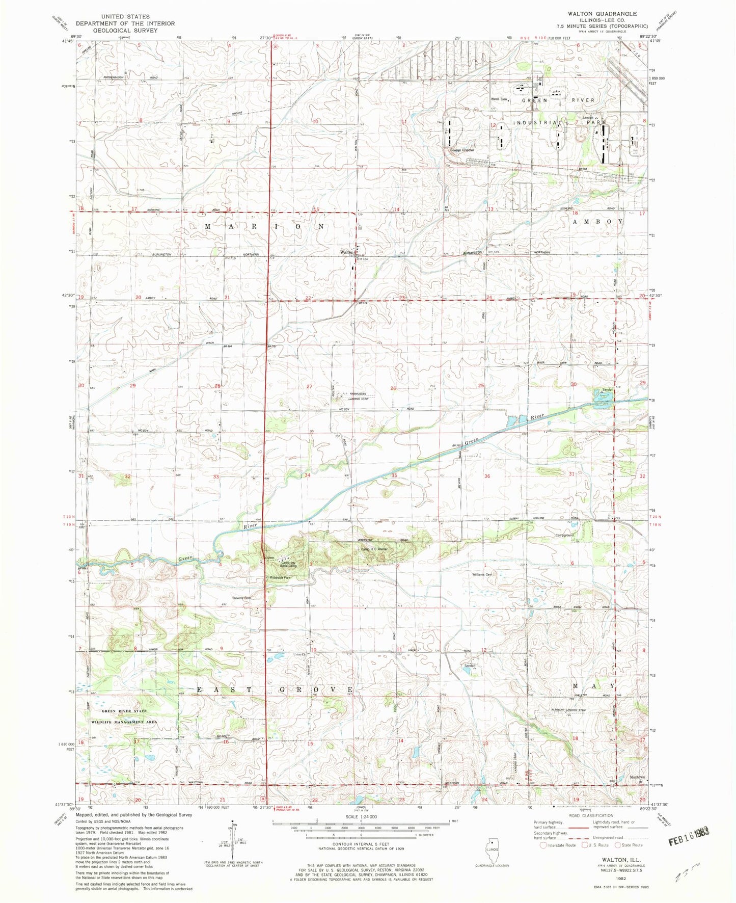
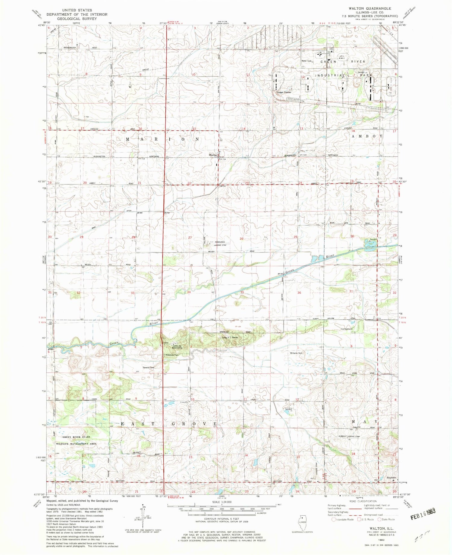
Classic USGS Walton Illinois 7.5'x7.5' Topo Map
Couldn't load pickup availability
Historical USGS topographic quad map of Walton in the state of Illinois. Map scale may vary for some years, but is generally around 1:24,000. Print size is approximately 24" x 27"
This quadrangle is in the following counties: Lee.
The map contains contour lines, roads, rivers, towns, and lakes. Printed on high-quality waterproof paper with UV fade-resistant inks, and shipped rolled.
Contains the following named places: Albrecht Airport, Bonanza Creek Farm, Camp H C Warner, Camp Joy Bible Camp, Cemetery, City of Amboy, Green River Ordnance Plant, Green School, Lee County Landfill, Morrissey School, Nathaniel Carter Williams Gravesite, Olson Farms, Palmer School, Rasmussen Landing Strip, Rhodenbaugh Farm, Sandy Knoll Farms, Stott School, Township of East Grove, Township of Marion, Union Church, Walton


