MyTopo
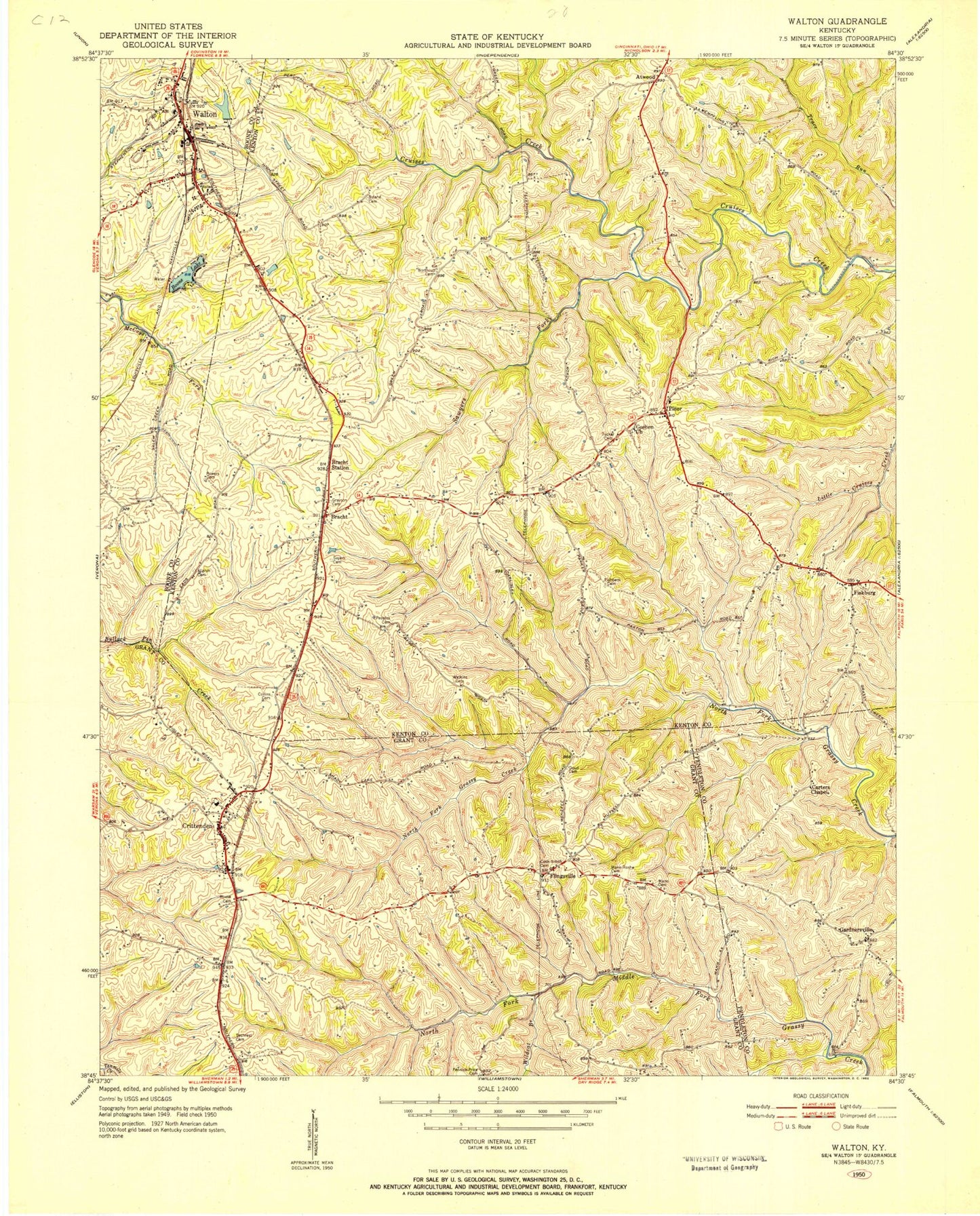
Classic USGS Walton Kentucky 7.5'x7.5' Topo Map
Couldn't load pickup availability
Historical USGS topographic quad map of Walton in the state of Kentucky. Map scale may vary for some years, but is generally around 1:24,000. Print size is approximately 24" x 27"
This quadrangle is in the following counties: Boone, Grant, Kenton, Pendleton.
The map contains contour lines, roads, rivers, towns, and lakes. Printed on high-quality waterproof paper with UV fade-resistant inks, and shipped rolled.
Contains the following named places: Allphin Cemetery, Atwood, Atwood Post Office, Blackwell, Boone Lake, Bracht, Bracht Railroad Station, Byland Cemetery, Carters Chapel, City of Crittenden, City of Walton, Collins Cemetery, Cook - Smith Cemetery, Crittenden, Crittenden Christian Cemetery, Crittenden Fire Department, Crittenden Police Department, Crittenden Post Office, Doud Cemetery, Fishback Cemetery, Fiskburg, Fiskburgh Post Office, Flingsville, Gaines Post Office, Gaines Railroad Station, Gardnersville, Gardnersville Post Office, Goshen Church, Goshen School, Grayson Cemetery, Key West Post Office, Leary Lake, Mann - Roshe Cemetery, Mann Cemetery, Mullins Wildlife Area, Northcutt Cemetery, Northern Kentucky Treatment Center, Pennick - Price Cemetery, Peoples Cemetery, Piner, Piner - Fiskburg Fire Protection District, Piner Post Office, Piner-Visalia Division, Powers Cemetery, Rouse Cemetery, Sawyers Fork, Sayers Cemetery, Sechrest Cemetery, The Wells, Tucker Cemetery, Walton Fire Protection District Station 1, Walton Police Department, Walton Post Office, Walton Woods Park, Watkins Cemetery, Wildcat Branch, Wilmington Baptist Church, Wilmington Baptist Church Cemetery, Young Cemetery, ZIP Code: 41030


