MyTopo
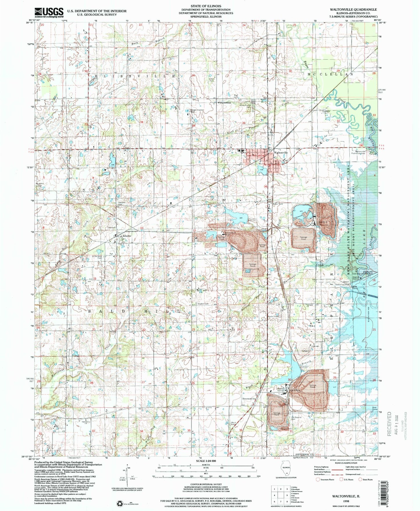
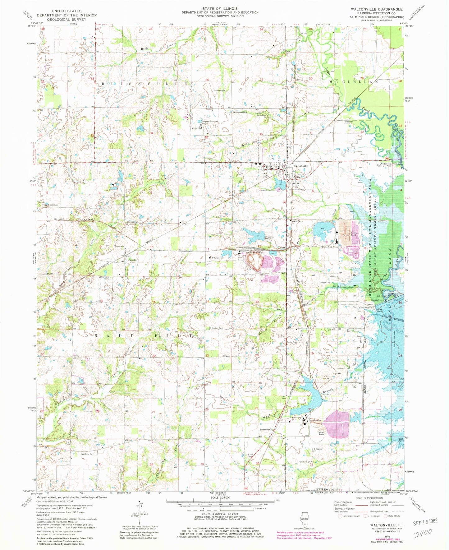
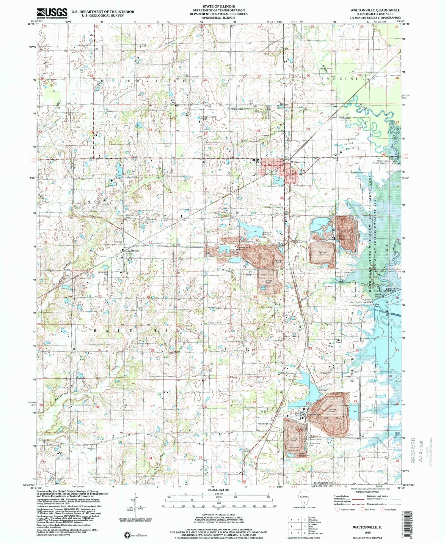
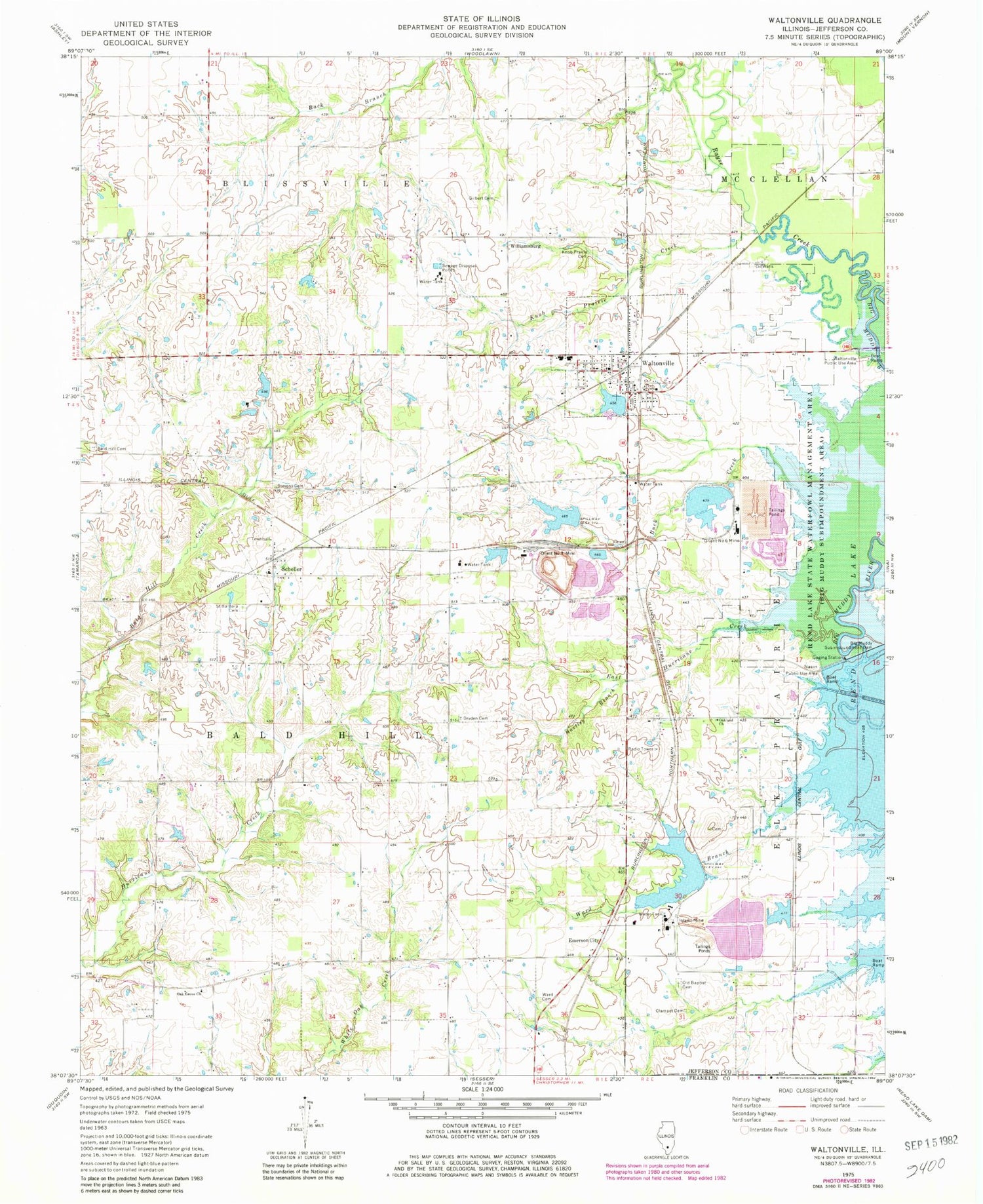
Classic USGS Waltonville Illinois 7.5'x7.5' Topo Map
Couldn't load pickup availability
Historical USGS topographic quad map of Waltonville in the state of Illinois. Map scale may vary for some years, but is generally around 1:24,000. Print size is approximately 24" x 27"
This quadrangle is in the following counties: Franklin, Jefferson.
The map contains contour lines, roads, rivers, towns, and lakes. Printed on high-quality waterproof paper with UV fade-resistant inks, and shipped rolled.
Contains the following named places: Auxiliary Reservoir, Auxiliary Reservoir Impoundment Structure Dam, Bald Hill Cemetery, Bald Hill Townhall, Bethany Church, Big Muddy Subimpoundment Dam, Buck Creek, Dees School, Dryden Cemetery, Dryden School, East Hurricane Creek, East Lake Impoundment, East Lake Impoundment Dam, Emerson City, Fitzgerrell, Fitzgerrell Post Office, Four Corners School, Gilbert Cemetery, Hartley Branch, Horse Prairie Cemetery, Inland Mine, Knob Prairie Cemetery, Knob Prairie Creek, Mount Pleasant School, Nason Public Use Area, Number 2 Portal Lake, Number 2 Portal Lake Dam, Oak Grove Church, Oak Grove School, Oakland Church, Oakland School, Old Baptist Cemetery, Orient Number 3 Mine, Orient Number 6 Mine, Progress School, Raw Water Reservoir, Raw Water Reservoir Dam, Rayse Creek, Rend Lake State Waterfowl Management Area, Saint Barbara Cemetery, Scheller, Scheller Post Office, Science School, Stevens Cemetery, Township of Bald Hill, Utah School, Village of Waltonville, Waltonville, Waltonville Fire Protection District, Waltonville Grade School, Waltonville High School, Waltonville Lake, Waltonville Lake Dam, Waltonville Post Office, Waltonville Public Use Area, Ward Branch, Ward Cemetery, Whiteoak School, Williamsburg, ZIP Codes: 62883, 62894


