MyTopo
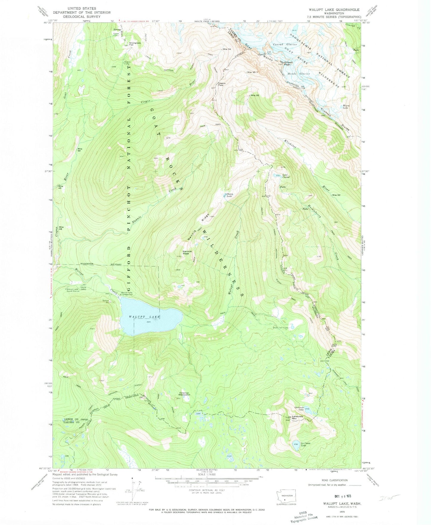
Classic USGS Walupt Lake Washington 7.5'x7.5' Topo Map
Couldn't load pickup availability
Historical USGS topographic quad map of Walupt Lake in the state of Washington. Typical map scale is 1:24,000, but may vary for certain years, if available. Print size: 24" x 27"
This quadrangle is in the following counties: Lewis, Yakima.
The map contains contour lines, roads, rivers, towns, and lakes. Printed on high-quality waterproof paper with UV fade-resistant inks, and shipped rolled.
Contains the following named places: Alpine Camp, Bypass Camp, Cispus Pass, Coleman Weedpatch, Conrad Glacier, Lake Corral, Gertrude Lake, Gilbert Peak, Goat Rocks, Klickton Divide, Lakeview Mountain, LeConte Lake, Meade Glacier, Nannie Peak, Nannie Ridge, Sheep Lake, Short Trail Camp, Snowgrass Flat, Walupt Creek, Walupt Lake, Walupt Lake Campground, Walupt Lake Guard Station, Warm Lake, Walupt Lake Horse Camp, Nannie Peak Lookout