
MyTopo
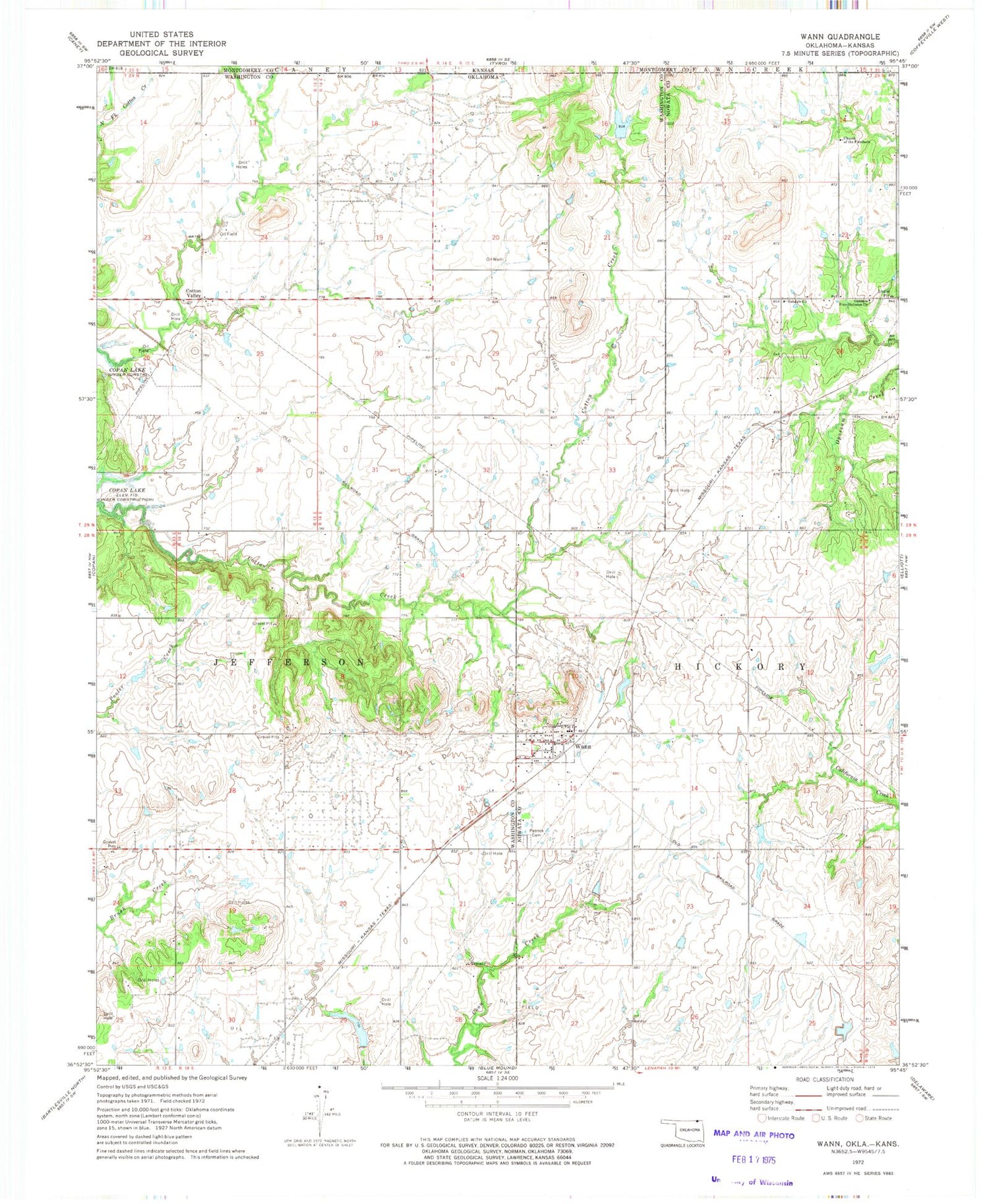
Classic USGS Wann Oklahoma 7.5'x7.5' Topo Map
Couldn't load pickup availability
Historical USGS topographic quad map of Wann in the state of Oklahoma. Map scale may vary for some years, but is generally around 1:24,000. Print size is approximately 24" x 27"
This quadrangle is in the following counties: Montgomery, Nowata, Washington.
The map contains contour lines, roads, rivers, towns, and lakes. Printed on high-quality waterproof paper with UV fade-resistant inks, and shipped rolled.
Contains the following named places: Church of the Firstborn, Cotton Valley, Cotton-Coon-Mission Creek Site 11 Dam, Cotton-Coon-Mission Creek Site 11 Reservoir, Cotton-Coon-Mission Creek Site 7 Dam, Cotton-Coon-Mission Creek Site 7 Reservoir, Floyd Fitzsimmons Dam, Floyd Fitzsimmons Reservoir, Oakdale Church, Oakdale Free Holiness Church, Patrick Cemetery, Town of Wann, Wann, Wann Fire Department, Wann Post Office, ZIP Code: 74083


