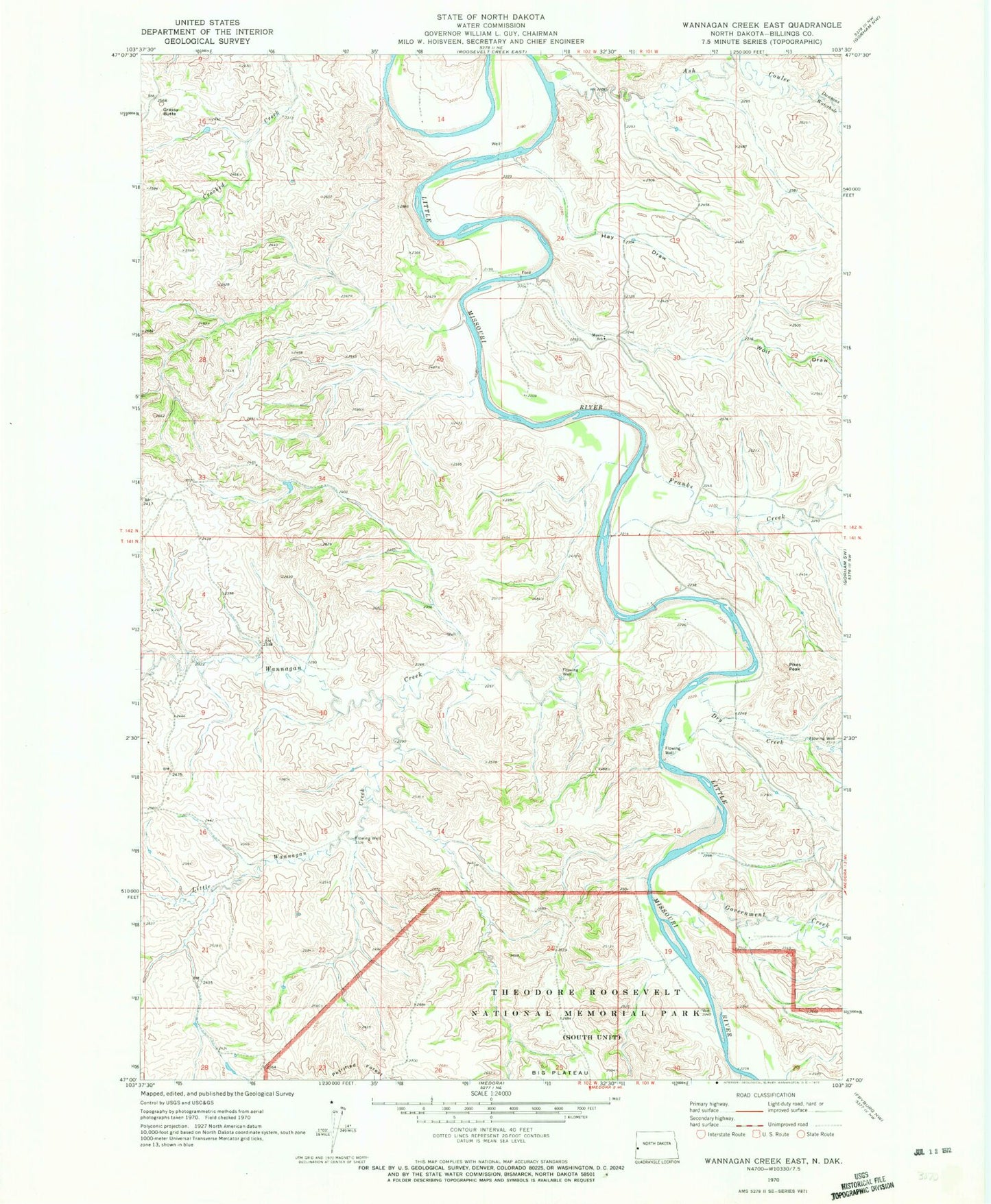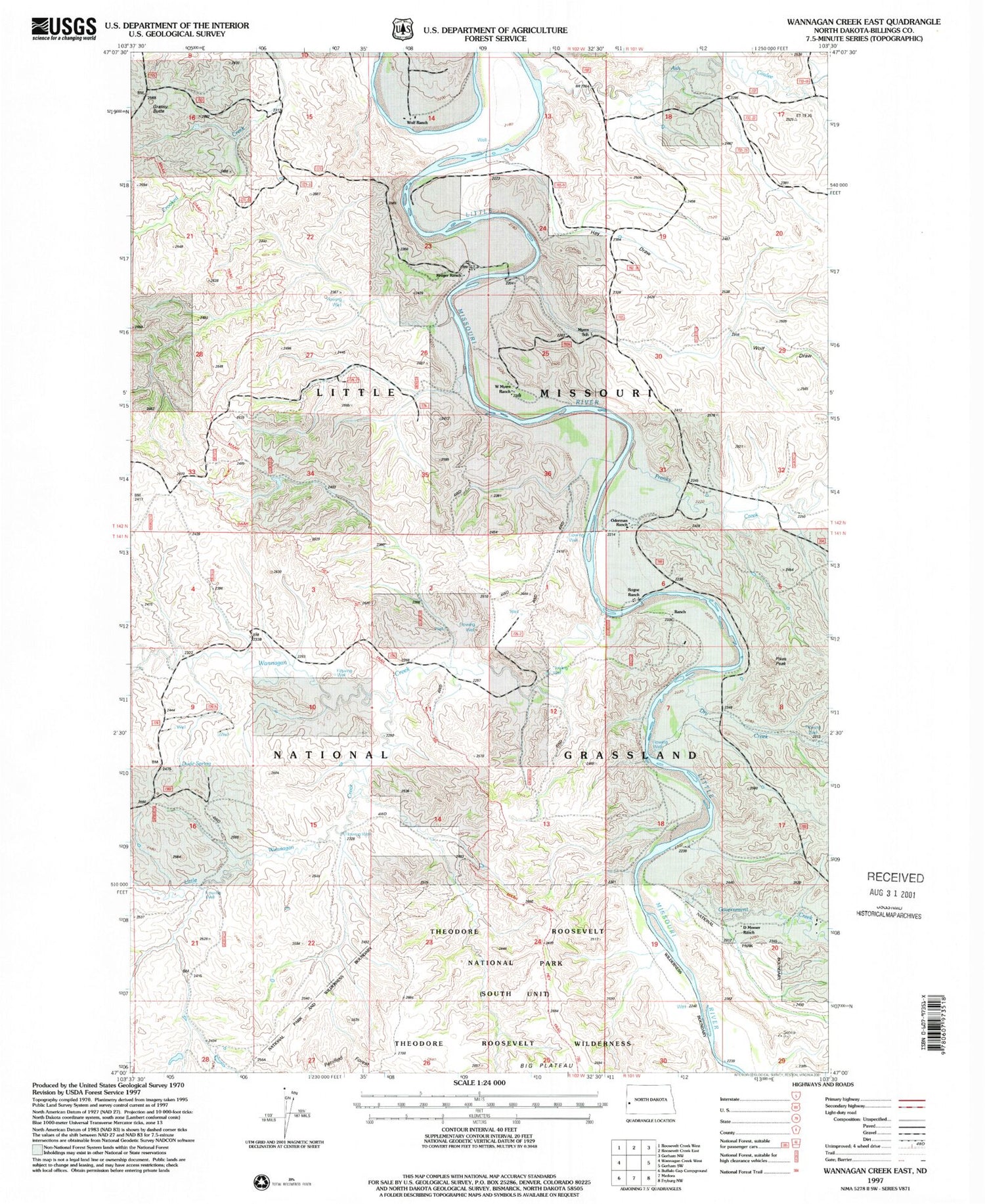

MyTopo
Classic USGS Wannagan Creek East North Dakota 7.5'x7.5' Topo Map
Couldn't load pickup availability
Historical USGS topographic quad map of Wannagan Creek East in the state of North Dakota. Typical map scale is 1:24,000, but may vary for certain years, if available. Print size: 24" x 27"
This quadrangle is in the following counties: Billings.
The map contains contour lines, roads, rivers, towns, and lakes. Printed on high-quality waterproof paper with UV fade-resistant inks, and shipped rolled.
Contains the following named places: Ash Coulee, Dawsons Waterhole, Dry Creek, Franks Creek, Government Creek, Grassy Butte, Hay Draw, Little Wannagan Creek, Myers School, Pikes Peak, Wannagan Creek, Wolf Draw, Little Missouri Badlands, McLeod Ranch, Stevens Ranch, Briggs Ranch, Wolf Ranch, Kruger Ranch, W Myers Ranch, Mosser Ranch