MyTopo
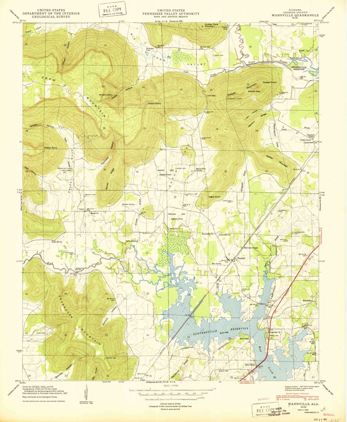
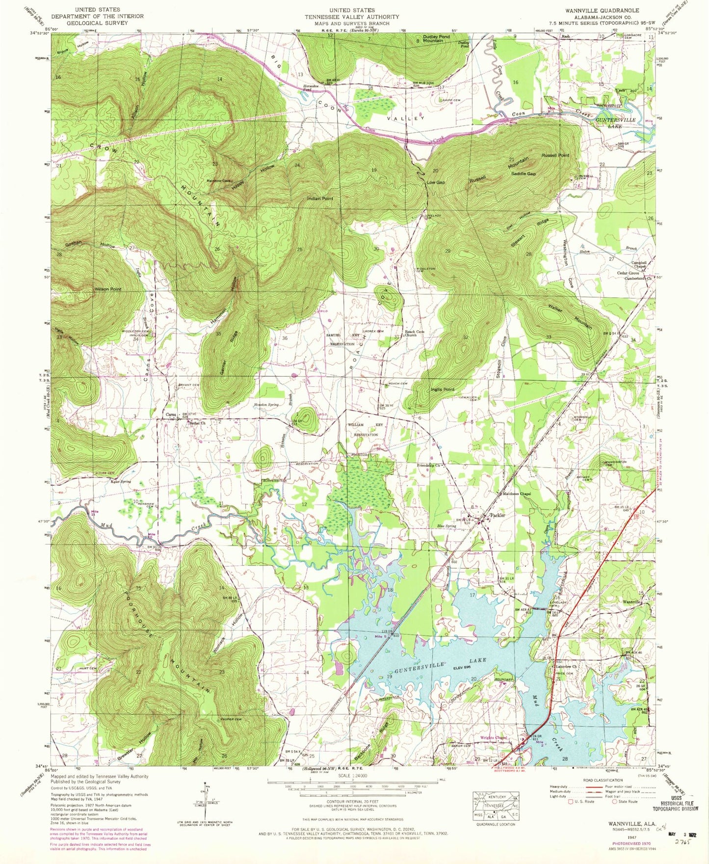
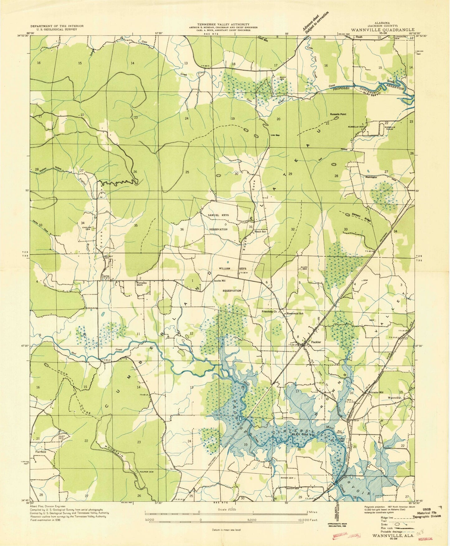
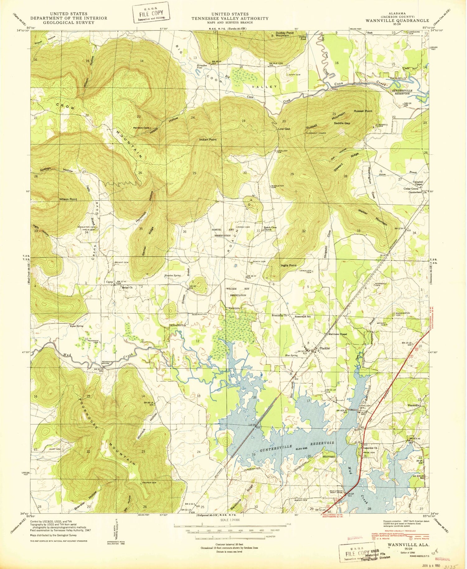
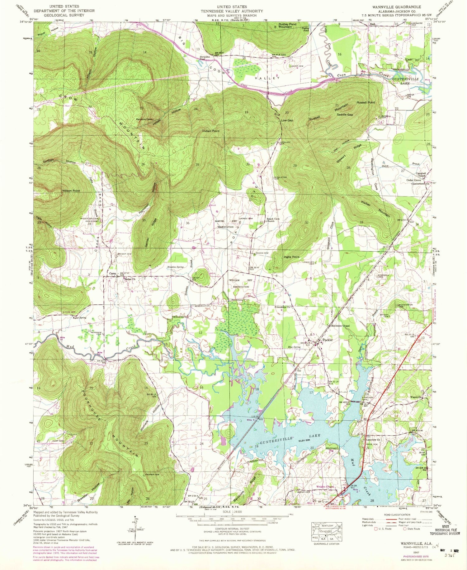
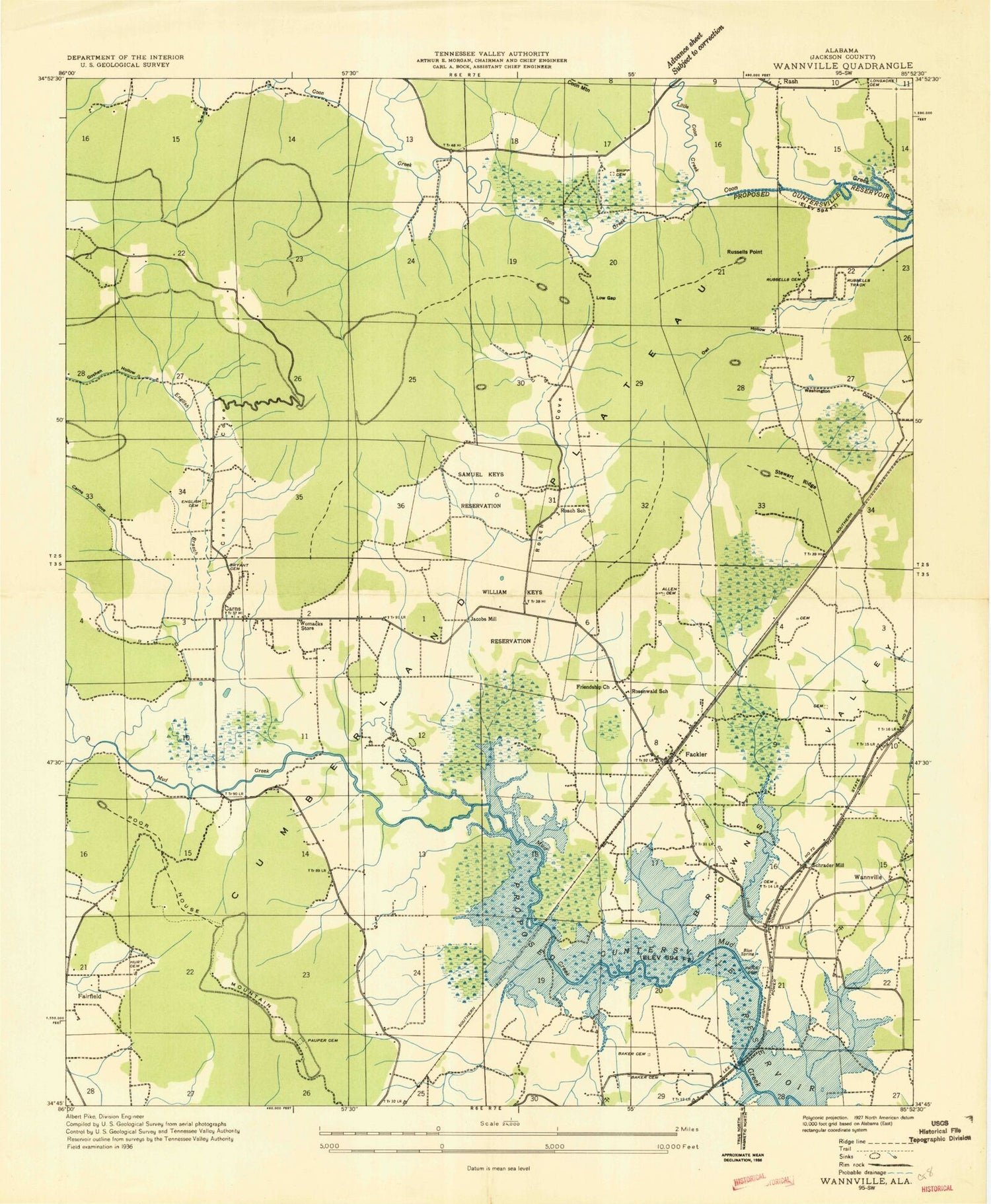
Classic USGS Wannville Alabama 7.5'x7.5' Topo Map
Couldn't load pickup availability
Historical USGS topographic quad map of Wannville in the state of Alabama. Map scale may vary for some years, but is generally around 1:24,000. Print size is approximately 24" x 27"
This quadrangle is in the following counties: Jackson.
The map contains contour lines, roads, rivers, towns, and lakes. Printed on high-quality waterproof paper with UV fade-resistant inks, and shipped rolled.
Contains the following named places: Allison Hollow, Baker Cemetery, Bethel Church, Big Coon Creek, Big Coon Valley, Blue Spring, Blue Spring Brook, Brewster Hollow, Bryant Cemetery, Cambell Chapel, Campbell Chapel, Carnes School, Carns, Carns Cove, Coffey Cemetery, Cross Cemetery, Dudley Pond, Dudley Pond Mountain, Fackler, Fackler Volunteer Fire Department, Fairfield, Friendship Church, Garner Ridge, Goshen Hollow, Hammon Hollow, Happy Hollow, Horseshoe Pond, Houston Branch, Houston Spring, Hurt Cemetery, Indian Point, Inglis Branch, Inglis Cemetery, Inglis Hollow, Inglis Point, Jackson County, Jacobs Mill, Kyles Cemetery, Kyles Spring, Lakeview Church, Lewallen Cemetery, Little Coon Creek, Longacre Cemetery, Lovelady Cemetery, Low Gap, Loyds Cemetery, Matthews Chapel, Middleton Cemetery, Mud Creek Boat Dock, Owen Branch, Owl Hollow, Pauper Cemetery, Poorhouse Mountain, Price Cemetery, Rash, Renshaw Bridge, Renshaw Cemetery, Roach Cemetery, Roach Cove, Roach School, Roaches Cove Baptist Church, Rorex Cemetery, Rosenwald School, Russell Cemetery, Russell Mountain, Russell Point, Russells School, Russells Track, Saddle Gap, Samuel Key Reservation, Schrader Mill, Shipp Cemetery, Stewart Ridge, Stogsdill Cove, Stogspill Cemetery, Walker Mountain, Wannville, Wanville Church, Wanville School, Washington Cemetery, Washington Cove, William Key Reservation, Wilson Point, Womack Hollow, Womacks Store, Wrights Chapel
