MyTopo
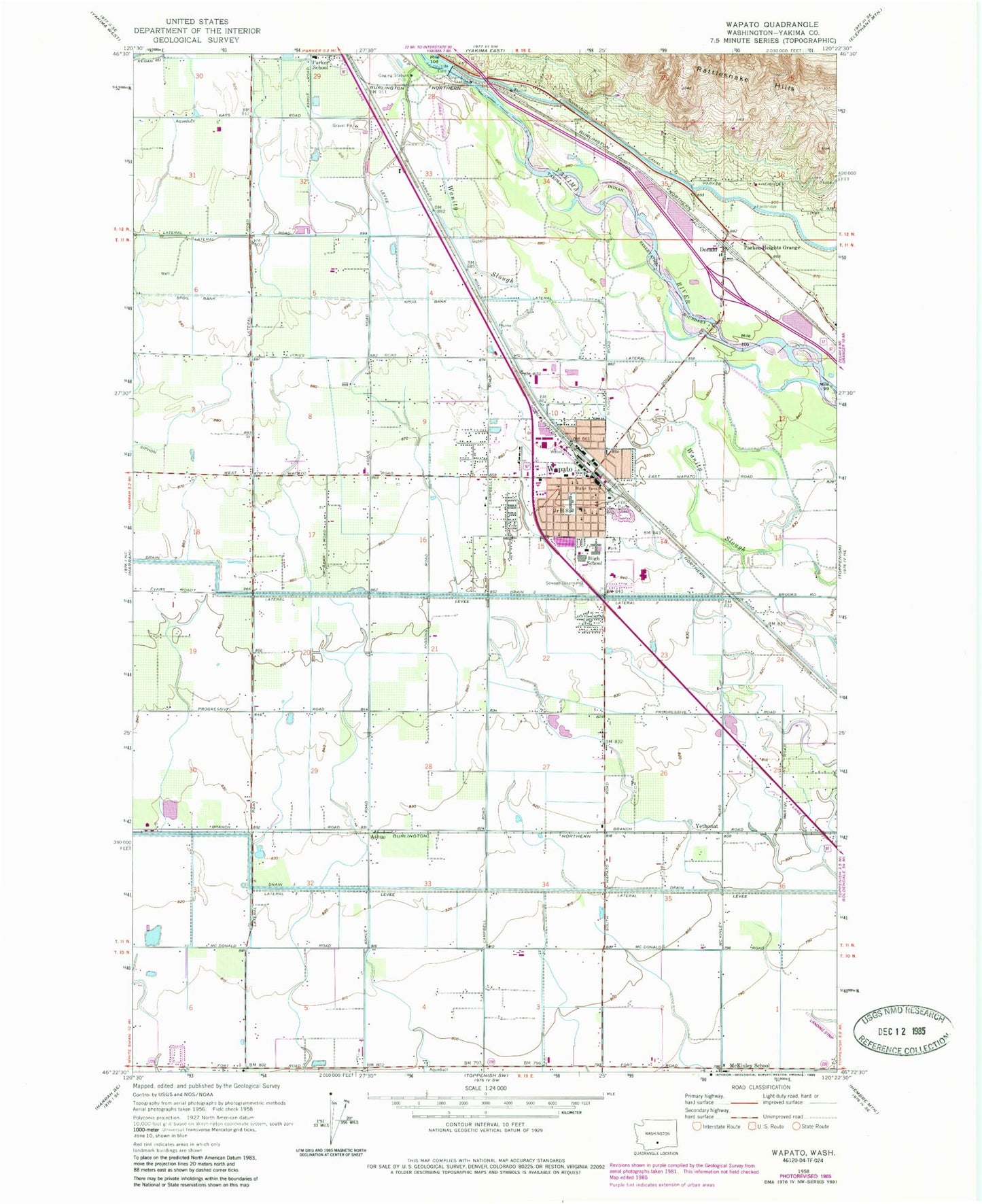
Classic USGS Wapato Washington 7.5'x7.5' Topo Map
Couldn't load pickup availability
Historical USGS topographic quad map of Wapato in the state of Washington. Map scale may vary for some years, but is generally around 1:24,000. Print size is approximately 24" x 27"
This quadrangle is in the following counties: Yakima.
The map contains contour lines, roads, rivers, towns, and lakes. Printed on high-quality waterproof paper with UV fade-resistant inks, and shipped rolled.
Contains the following named places: Ashue, Central Valley Junior Academy, City of Wapato, Donald, Donald Census Designated Place, Drain 2, Drain 3, Lateral 2, Lateral 3, Parker Heights Grange, Parker Heights School, Parker School, Satus Elementary School, Sunnyside Dam, Toppenish-Wapato Division, Union Gap Canal, Utahco, Wapato, Wapato High School, Wapato Intermediate School, Wapato Middle School, Wapato Police Department, Wapato Post Office, Yakima County Fire District 5 Station 6 Wapato, Yethonat, ZIP Code: 98939