MyTopo
Classic USGS Wapiti Lake Montana 7.5'x7.5' Topo Map
Regular price
$16.95
Regular price
Sale price
$16.95
Unit price
per
Couldn't load pickup availability
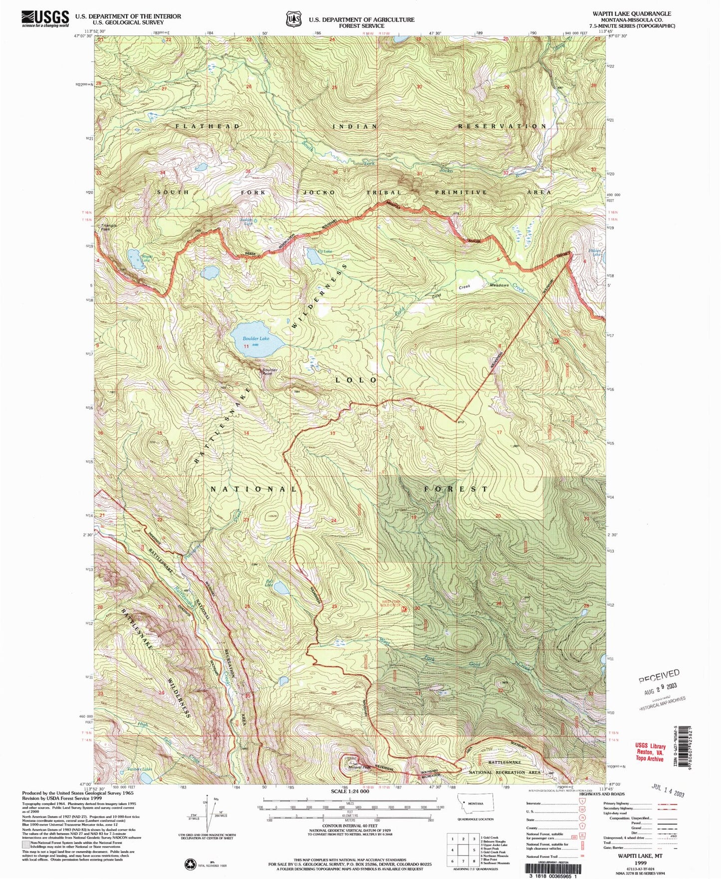
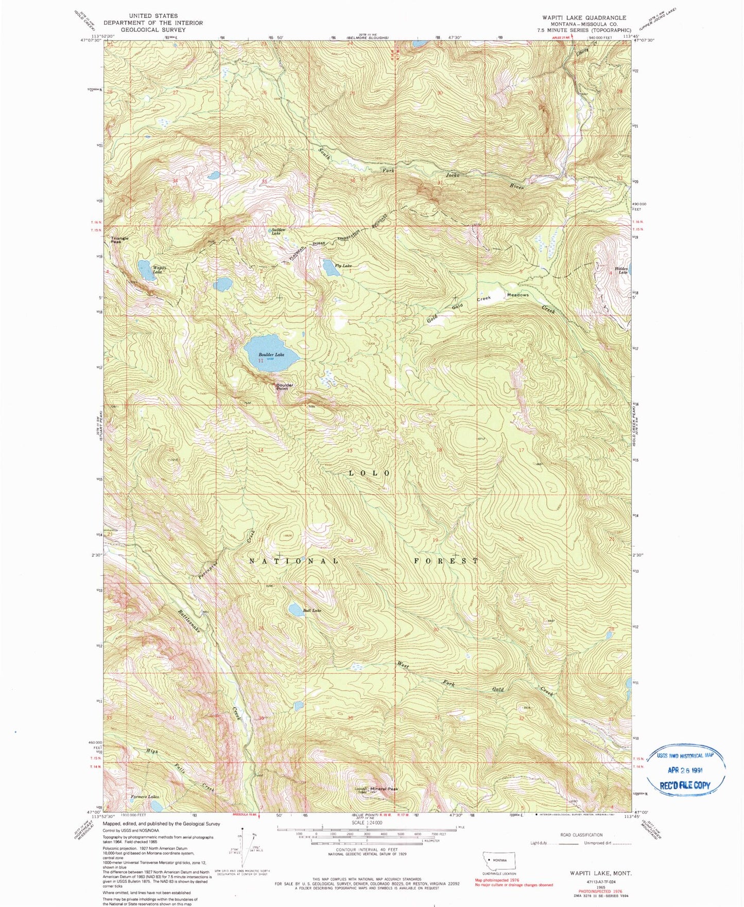
Historical USGS topographic quad map of Wapiti Lake in the state of Montana. Map scale may vary for some years, but is generally around 1:24,000. Print size is approximately 24" x 27"
This quadrangle is in the following counties: Missoula.
The map contains contour lines, roads, rivers, towns, and lakes. Printed on high-quality waterproof paper with UV fade-resistant inks, and shipped rolled.
Contains the following named places: Boulder Lake, Boulder Point, Bull Lake, Fly Lake, Gold Creek Meadows, High Falls Creek, Lake Creek, Liberty Creek, Mineral Peak, Porcupine Creek, Rattlesnake National Recreation Area, Sudden Lake, Wapiti Lake