MyTopo
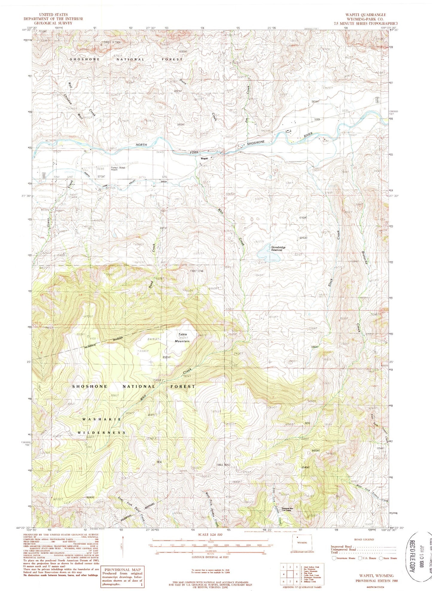
Classic USGS Wapiti Wyoming 7.5'x7.5' Topo Map
Couldn't load pickup availability
Historical USGS topographic quad map of Wapiti in the state of Wyoming. Map scale may vary for some years, but is generally around 1:24,000. Print size is approximately 24" x 27"
This quadrangle is in the following counties: Park.
The map contains contour lines, roads, rivers, towns, and lakes. Printed on high-quality waterproof paper with UV fade-resistant inks, and shipped rolled.
Contains the following named places: Bi Ho Ba Girl Scout Camp, Bradford Ranch, Breteche Creek, Chinese Wall, Dahlem Ranch, Diamond Bar Cow Camp, Dunn Creek, Flying L Skytel Airport, Frost Dam, Frost Reservoir, Green Creek, Jim Creek, North Fork Valley Ditch, Park County Fire Protection District 2 Station 4 Wapiti Valley, Rand Creek, River Rest Resort, Slack Creek, Stonebridge Dam, Stonebridge Reservoir, Table Mountain, Table Mountain Trail, Wall Creek, Wapiti, Wapiti Elementary School, Wapiti Valley Church Cemetery, Whit Creek