MyTopo
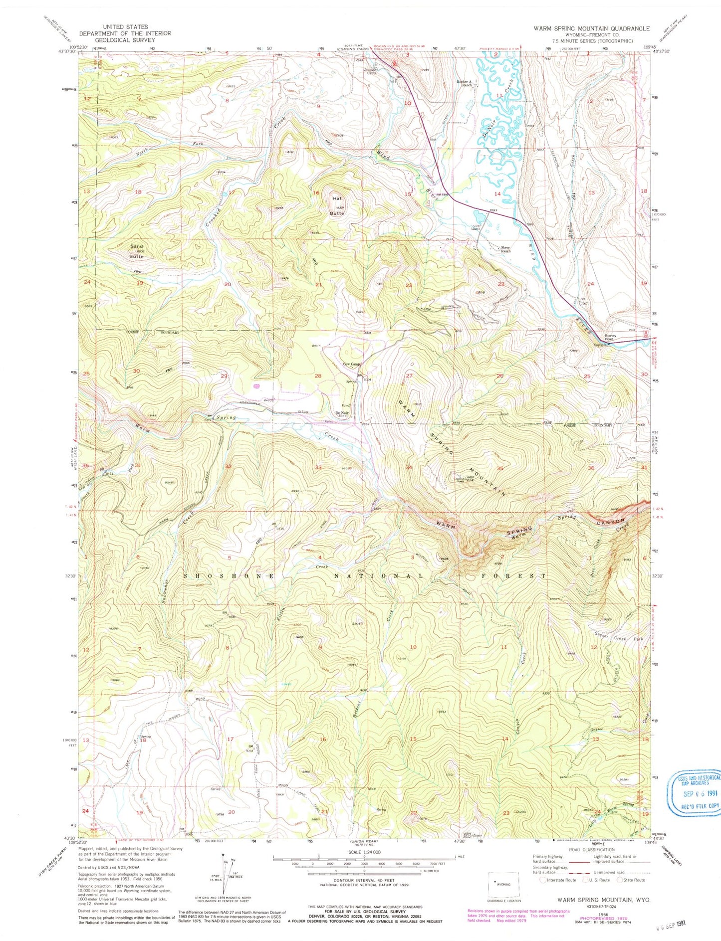
Classic USGS Warm Spring Mountain Wyoming 7.5'x7.5' Topo Map
Couldn't load pickup availability
Historical USGS topographic quad map of Warm Spring Mountain in the state of Wyoming. Typical map scale is 1:24,000, but may vary for certain years, if available. Print size: 24" x 27"
This quadrangle is in the following counties: Fremont.
The map contains contour lines, roads, rivers, towns, and lakes. Printed on high-quality waterproof paper with UV fade-resistant inks, and shipped rolled.
Contains the following named places: Bear Creek, Bench Creek, Canyon Creek, Crooked Creek, DuNoir, Du Noir Creek, Geyser Creek Park, Hat Butte, Johnson Camp, Kitten Creek, North Fork Crooked Creek, Rocker A Ranch, Sand Butte, Sheer Ranch, Smith Sawmill, Snowshoe Creek, South Fork Warm Spring Creek, Stoney Point, Union Pass Trail, Warm Spring Mountain, Wildcat Creek, Cow Camp, Little Warm Springs Creek Mine, Warm Spring Mountain Mine, Helt Claims Mine