
MyTopo
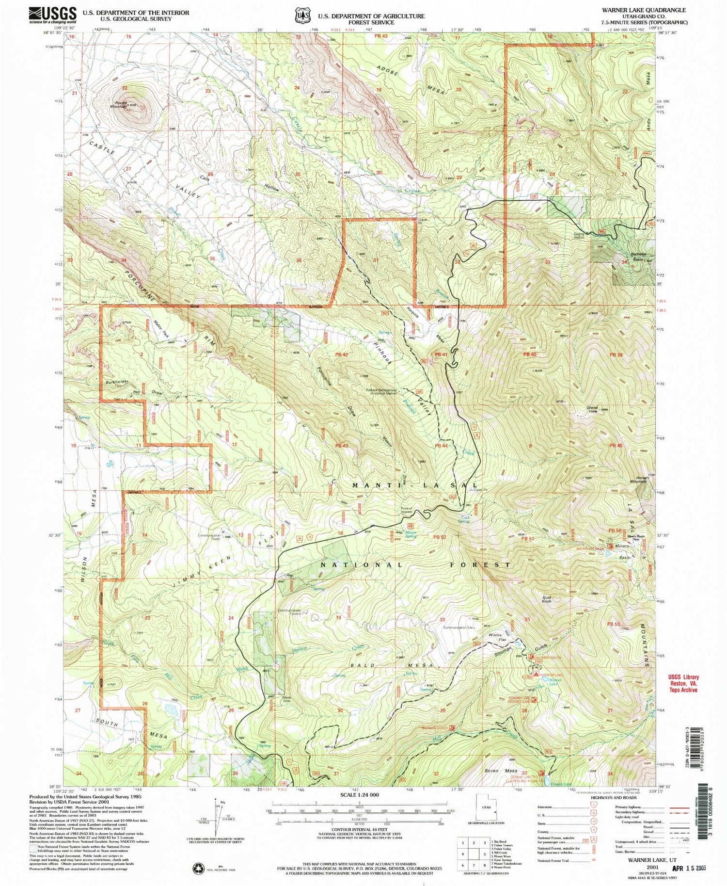
Classic USGS Warner Lake Utah 7.5'x7.5' Topo Map
Couldn't load pickup availability
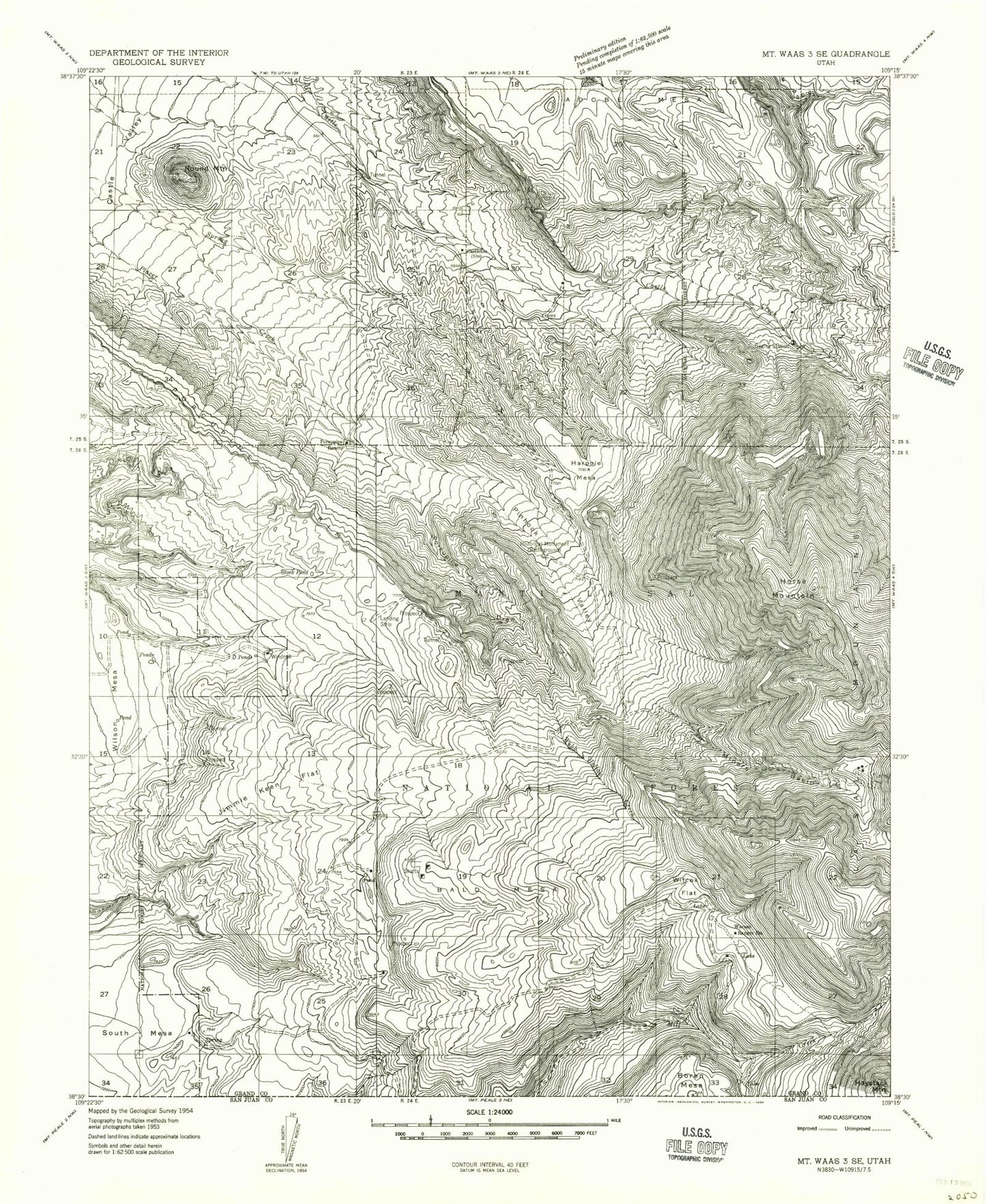
Historical USGS topographic quad map of Warner Lake in the state of Utah. Map scale may vary for some years, but is generally around 1:24,000. Print size is approximately 24" x 27"
This quadrangle is in the following counties: Grand.
The map contains contour lines, roads, rivers, towns, and lakes. Printed on high-quality waterproof paper with UV fade-resistant inks, and shipped rolled.
Contains the following named places: Adobe Mesa, Bald Mesa, Cain Hollow, Castle Valley Overlook, Castleton, Castleton Cemetery, Cold Spring, Dry Fork Mill Creek, Gold Knob, Grand View, Harpole Mesa, Horse Mountain, Jerry Stocks Mine, Jimmy Keen Flat, Lake Oowah Dam, Maloy Park, Mason Draw, Mason Spring, Mason Spring Creek, Mesa Guard Station, Mill Creek Canyon Overlook, Miners Basin, Oowah Campground, Oowah Lake, Pinhook Creek, Pinhook Draw Historical Marker, Pinhook Valley, Porcupine Draw, Porcupine Ranch, Round Mountain, Shuman Gulch, South Mesa, Spring Branch, Warner Campground, Warner Lake, Warner Ranger Station, Webb Hollow Creek, Wet Fork Mill Creek, Wilcox Flat