MyTopo
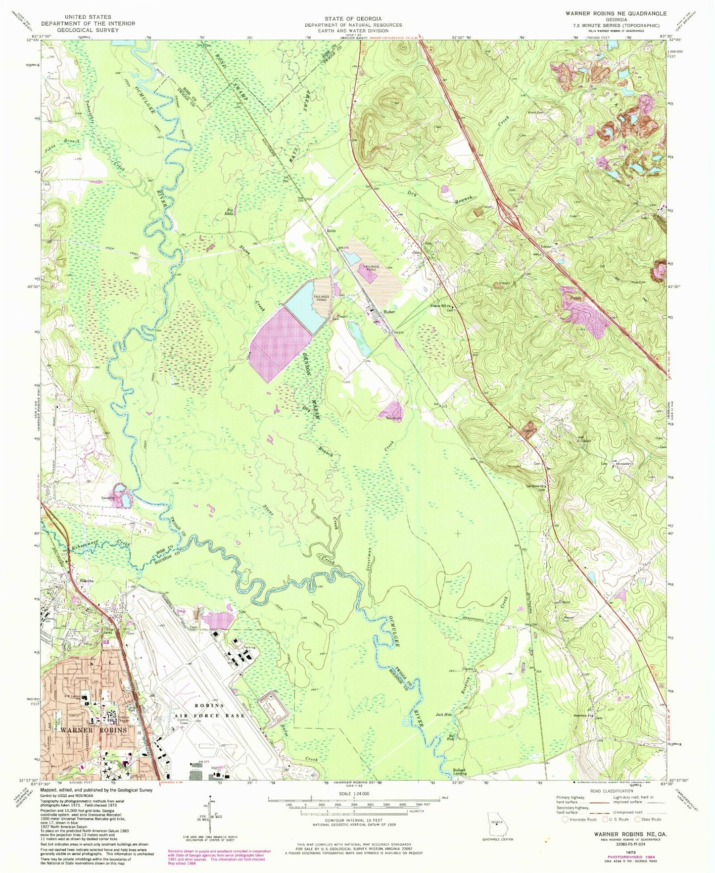
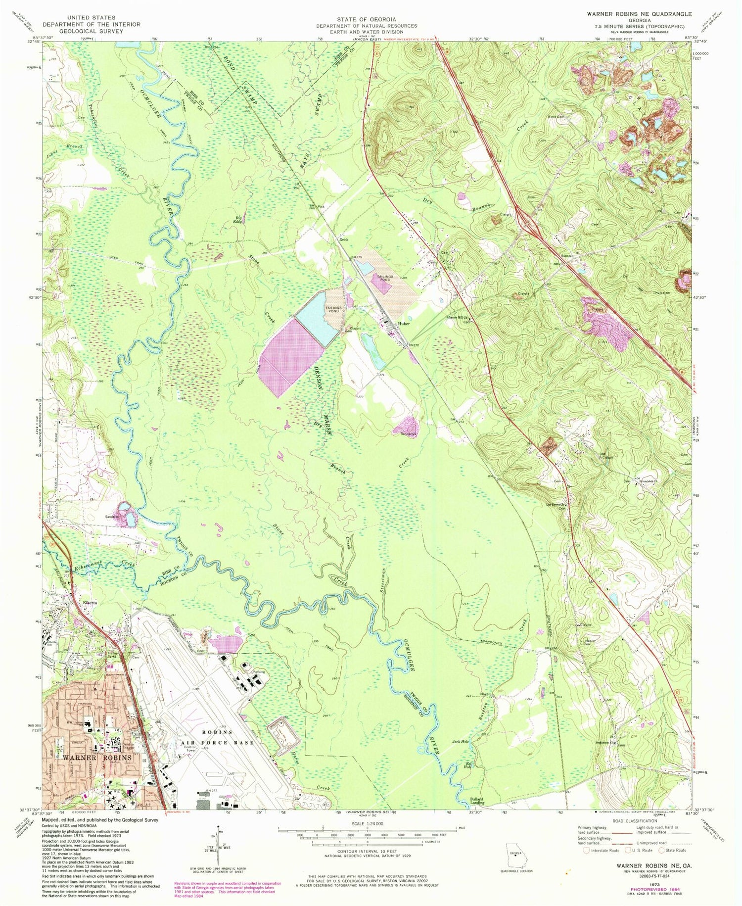
Classic USGS Warner Robins NE Georgia 7.5'x7.5' Topo Map
Couldn't load pickup availability
Historical USGS topographic quad map of Warner Robins NE in the state of Georgia. Map scale may vary for some years, but is generally around 1:24,000. Print size is approximately 24" x 27"
This quadrangle is in the following counties: Bibb, Houston, Twiggs.
The map contains contour lines, roads, rivers, towns, and lakes. Printed on high-quality waterproof paper with UV fade-resistant inks, and shipped rolled.
Contains the following named places: Alex Ferguson Memorial Park, Avondale Church, Bethlehem Church, Big Eddy, Bond Cemetery, Bond Swamp, Bond Swamp National Wildlife Refuge, Bullard Landing, Chance Hill Church, Chance Hill School, D D Memorial Church, Davidsons Academy, Denson Marsh, Dry Branch Creek, Echeconnee Creek, Eel Hole, Elberta, Elberta School, Evergreen Baptist Church, Evergreen Baptist School, Friendship Church, Hale Cemetery, Huber, Jack Hole, Johns Branch, Lar Grove Church, Northview United Methodist Church, Pearce Cemetery, Pearson Volunteer Fire Department, R W Lindsey School, Rays Swamp, Reids, Richardson Estates, Robins Air Force Base, Rosston Creek, Sewell Circle Park, Springfield Church, Stone Creek, Streetman Creek, Tobesofkee Creek, WGNM-TV (Macon)


