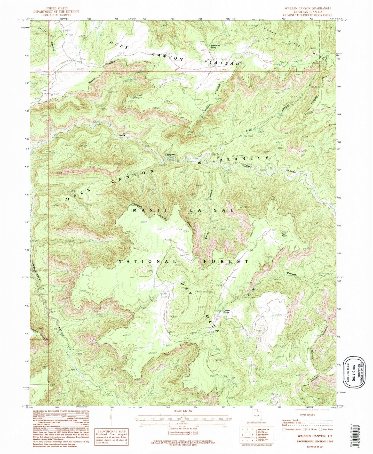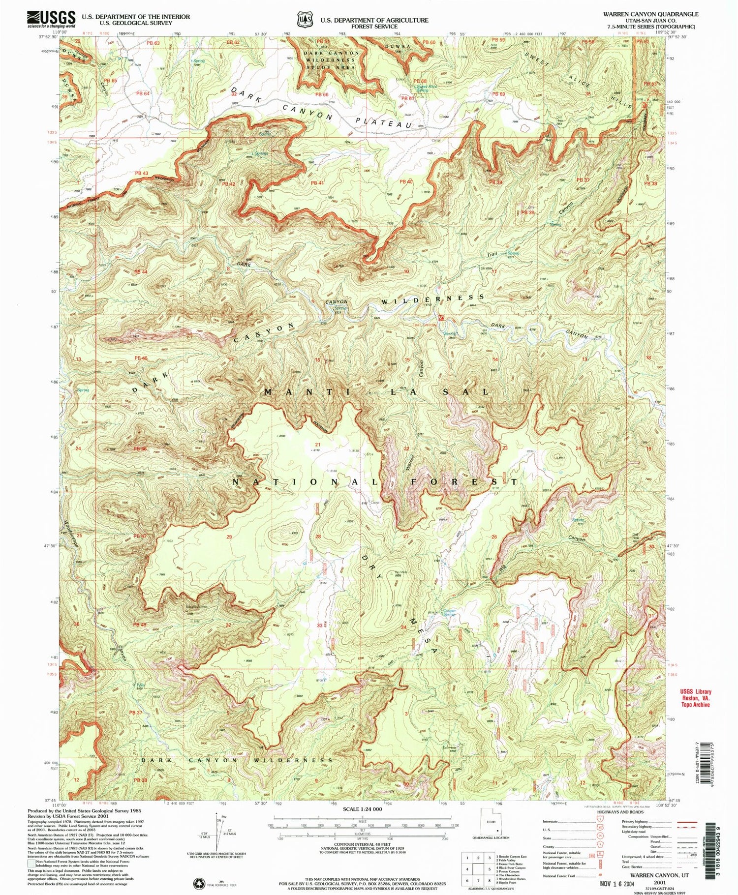

MyTopo
Classic USGS Warren Canyon Utah 7.5'x7.5' Topo Map
Regular price
$16.95
Regular price
Sale price
$16.95
Unit price
per
Couldn't load pickup availability
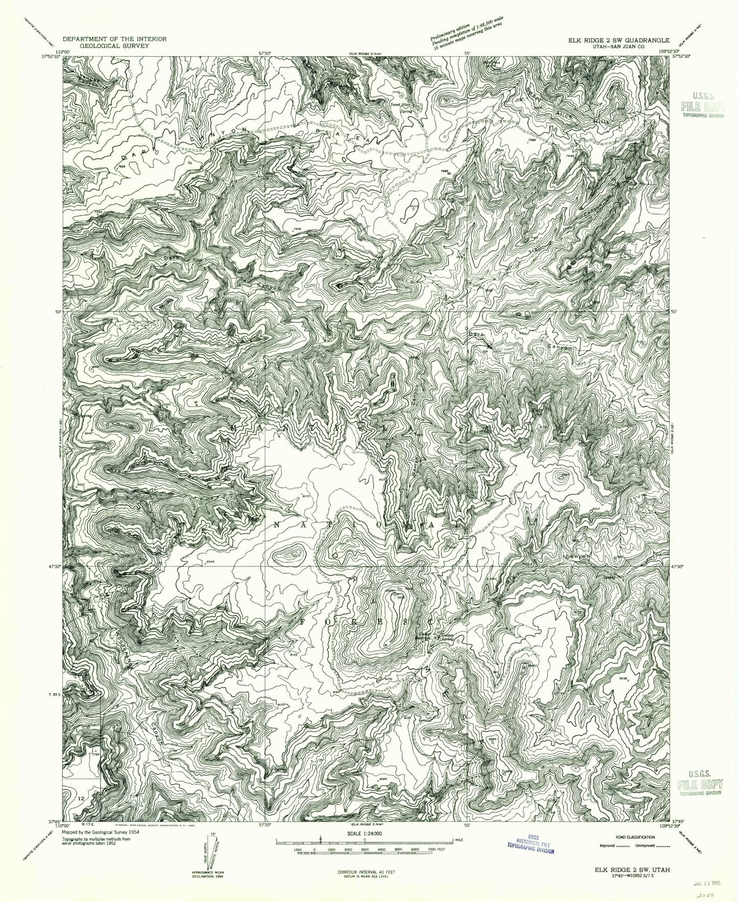
Historical USGS topographic quad map of Warren Canyon in the state of Utah. Typical map scale is 1:24,000, but may vary for certain years, if available. Print size: 24" x 27"
This quadrangle is in the following counties: San Juan.
The map contains contour lines, roads, rivers, towns, and lakes. Printed on high-quality waterproof paper with UV fade-resistant inks, and shipped rolled.
Contains the following named places: Cooper Reservoir, Cooper Spring, Sweet Alice Spring, Trail Canyon, Warren Canyon, Dry Mesa, Cooper Reservoir, Cooper Spring, Sweet Alice Spring, Trail Canyon, Warren Canyon, Dry Mesa