MyTopo
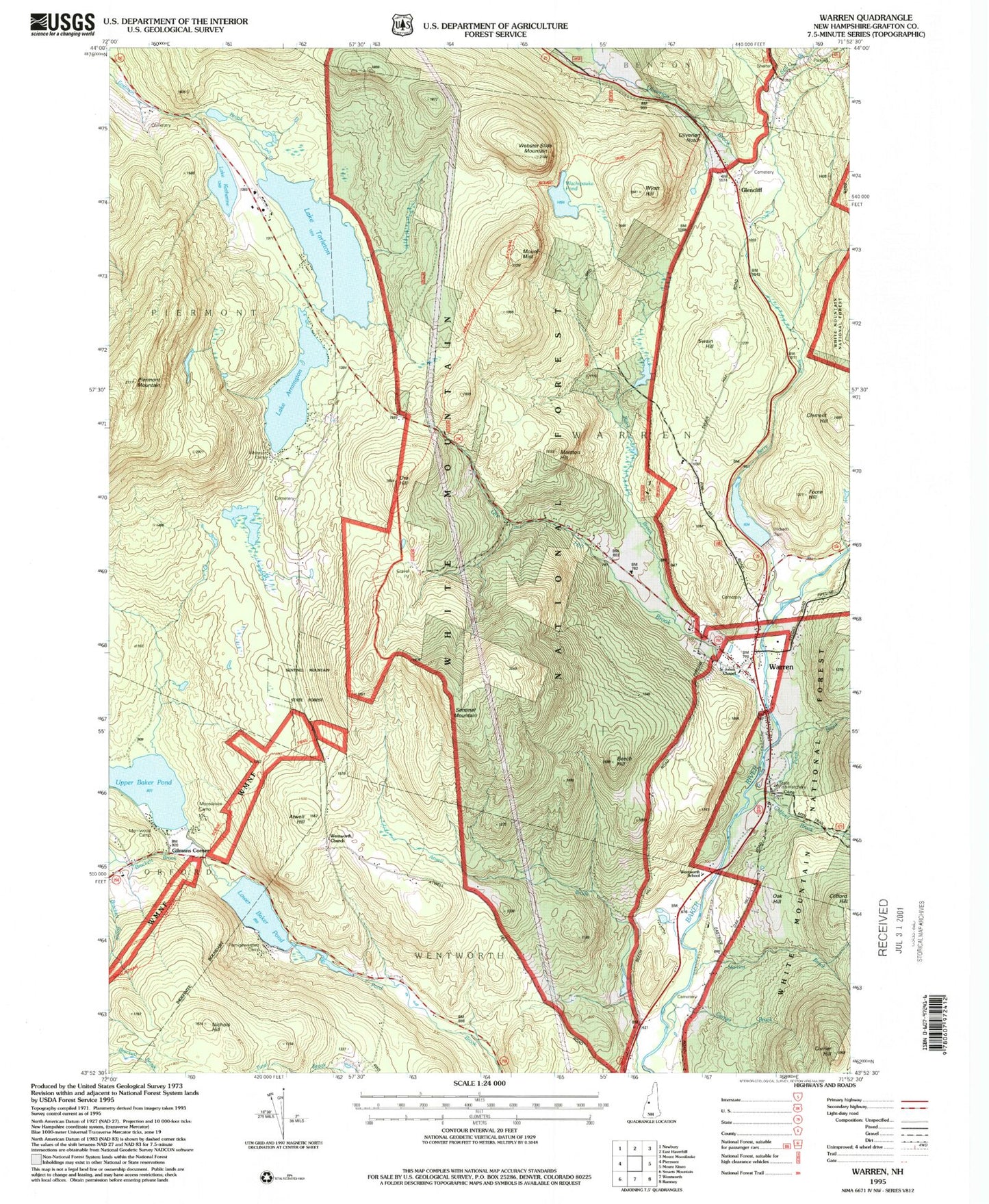
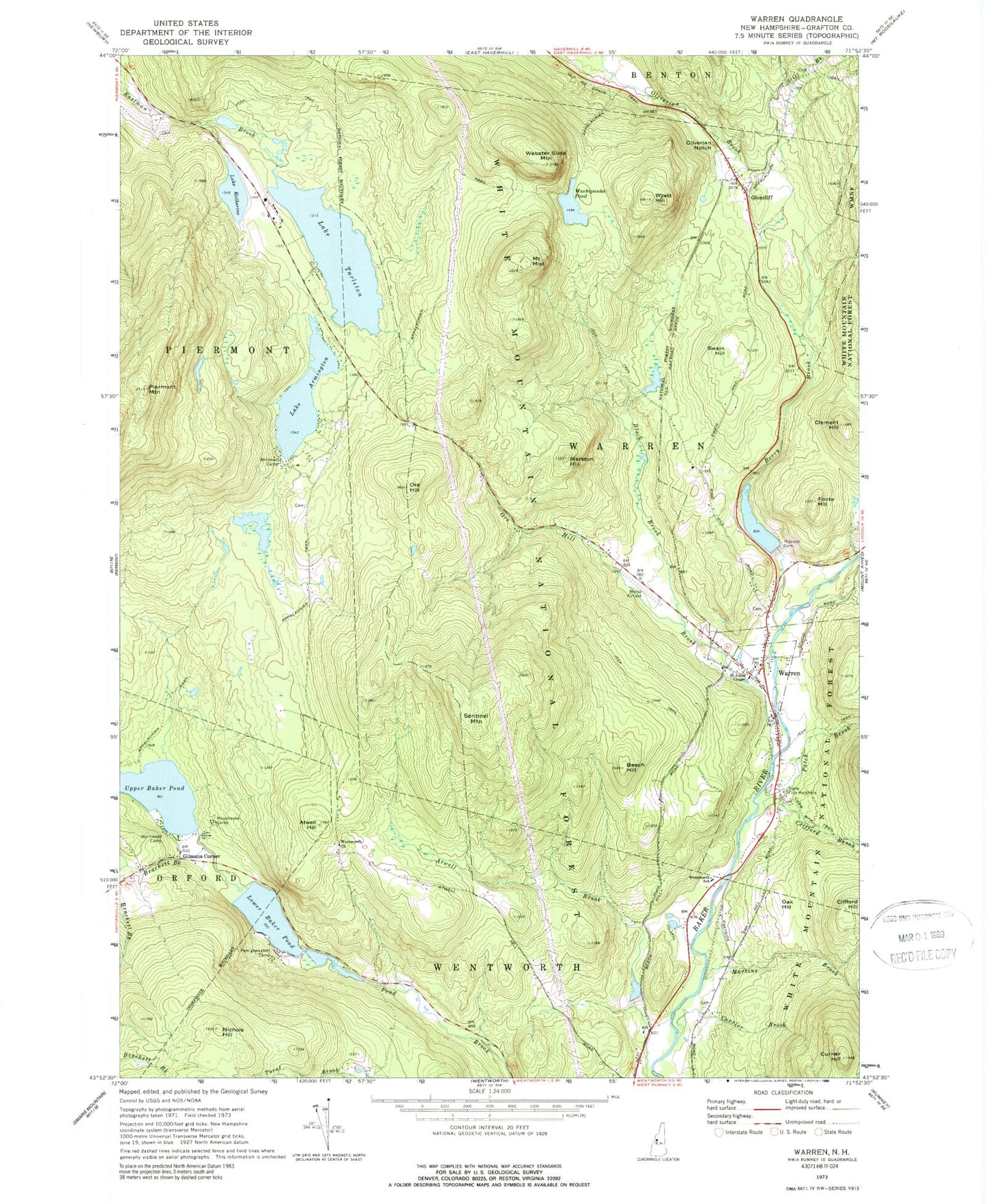
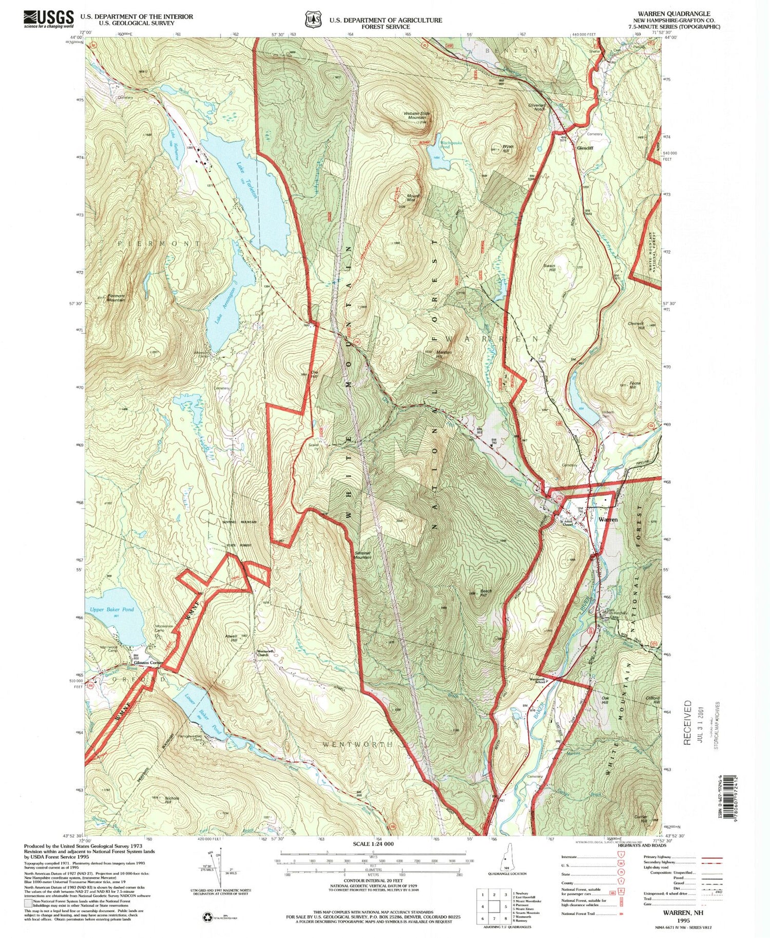
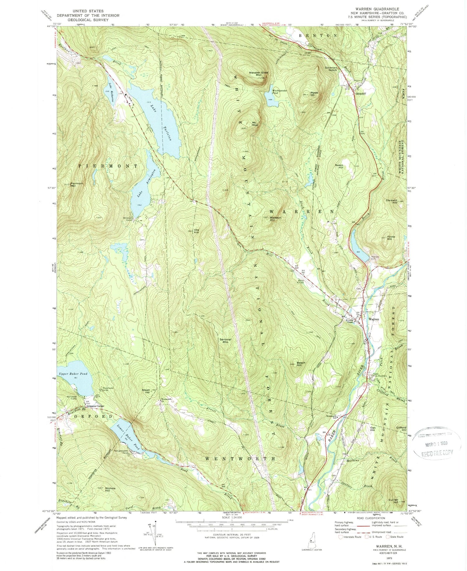
Classic USGS Warren New Hampshire 7.5'x7.5' Topo Map
Couldn't load pickup availability
Historical USGS topographic quad map of Warren in the state of New Hampshire. Typical map scale is 1:24,000, but may vary for certain years, if available. Print size: 24" x 27"
This quadrangle is in the following counties: Grafton.
The map contains contour lines, roads, rivers, towns, and lakes. Printed on high-quality waterproof paper with UV fade-resistant inks, and shipped rolled.
Contains the following named places: Wyatt Hill, Lake Armington, Atwell Hill, Beech Hill, Berry Brook, Black Brook, Brackett Brook, Clement Hill, Clifford Brook, Currier Brook, Currier Hill, Foote Hill, Gilmans Corner, Glencliff, Hildreth Dam, Hurricane Brook, Lake Katherine, Lower Baker Pond, Marston Hill, Martins Brook, Merriwood Camp, Mount Mist, Moosilauke Camp, Nichols Hill, Oak Hill, Oliverian Notch, Ore Hill, Ore Hill Brook, Patch Brook, Pemigewassett Camp, Piermont Mountain, Saint Johns Chapel, Sentinel Mountain, Slide Brook, Still Brook, Swain Hill, Upper Baker Pond, Wachipauka Pond, Warren, Webster Slide Mountain, Wentworth Church, Wentworth School, Whitman Camp, Town of Warren, Baker Floodwater Reservoir Site 2 Dam, Baker Floodwater Reservoir Site, Baker Floodwater Reservoir Site 6 Dam, Baker Floodwater Reservoir Site 6, Baker Floodwater Reservoir Site 5 Dam, Lake Armington Dam, Lake Armington, Lake Tarleton Dam, Lake Tarleton, Glencliff Post Office, Maple Grove School (historical), New Hampshire State Fish Hatchery, Sentinel Mountain State Forest, Warren Methodist Church, Warren Post Office, Weeks Crossing (historical), Warren Village School, Wentworth Elementary School, Warren Fire Department, Warren - Wentworth Ambulance Service, Warren Police Department


