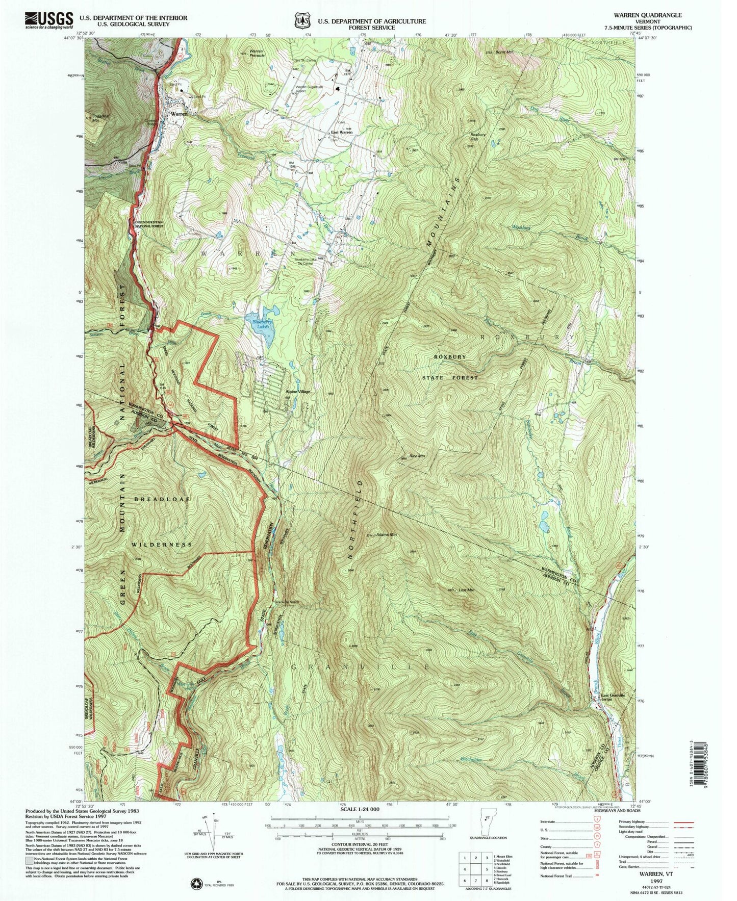
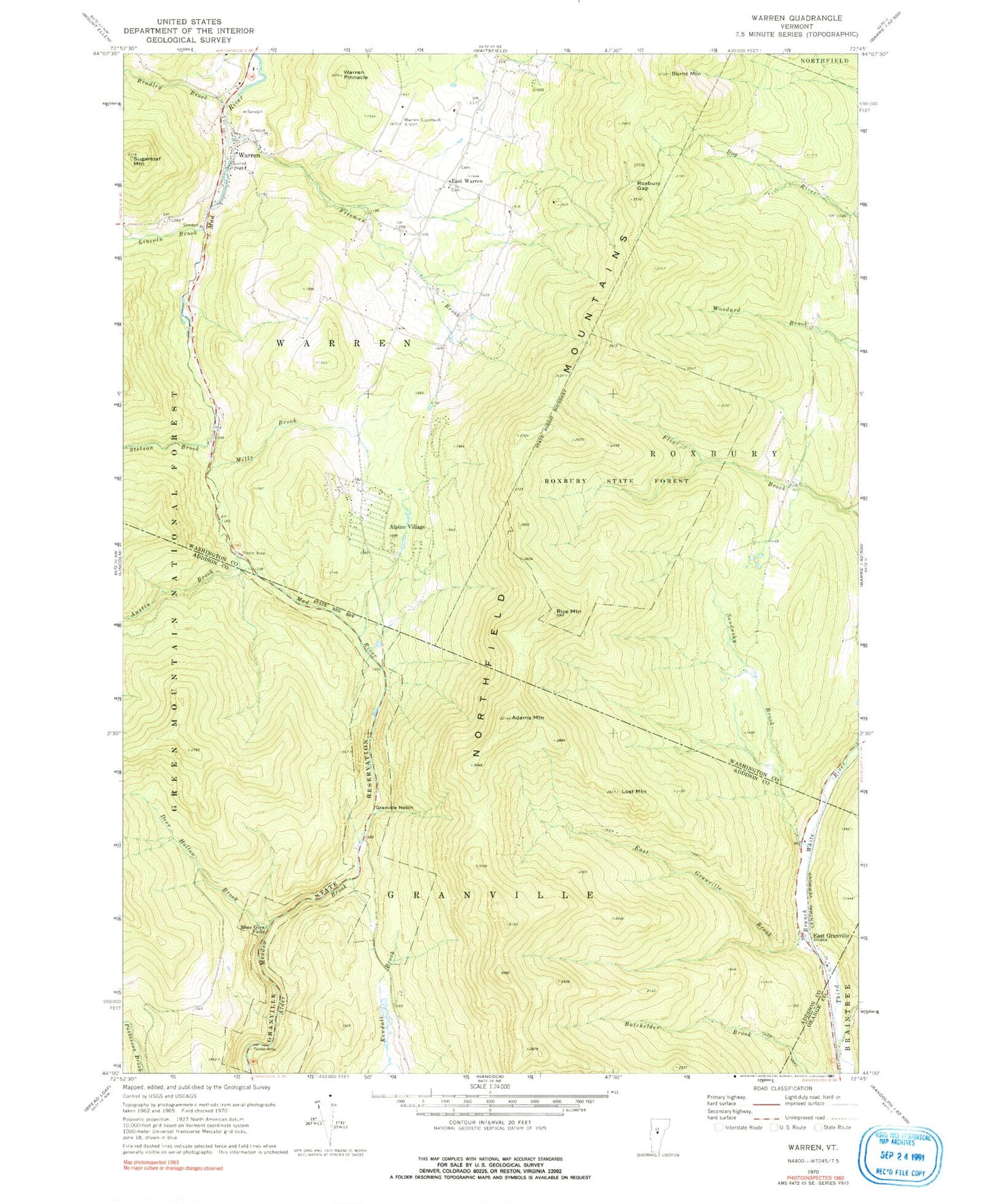
MyTopo
Classic USGS Warren Vermont 7.5'x7.5' Topo Map
Couldn't load pickup availability
Historical USGS topographic quad map of Warren in the state of Vermont. Typical map scale is 1:24,000, but may vary for certain years, if available. Print size: 24" x 27"
This quadrangle is in the following counties: Addison, Orange, Washington.
The map contains contour lines, roads, rivers, towns, and lakes. Printed on high-quality waterproof paper with UV fade-resistant inks, and shipped rolled.
Contains the following named places: Adams Mountain, Alpine Village, Austin Brook, Bradley Brook, Burnt Mountain, Deer Hollow Brook, East Granville, East Granville Brook, East Warren, Freeman Brook, Granville Notch, Granville State Reservation, Lincoln Brook, Lost Mountain, Mills Brook, Moss Glen Falls, Rice Mountain, Roxbury Gap, Sandusky Brook, Stetson Brook, Sugarloaf Mountain, Warren, Warren Pinnacle, Warren-Sugarbush Airport, Town of Granville, Town of Warren, Warren Lake Dam, Warren Lake, Blueberry Lake Ski Touring Center, Blueberry Lake, East Warren Cemetery, East Warren Cemetery, Lake Robinson, Oles Cross Country Ski Center, United Church, Warren Cemetery, Warren Covered Bridge, Warren Elementary School, Warren Post Office, Warren Public Library, Warren Volunteer Fire Department